

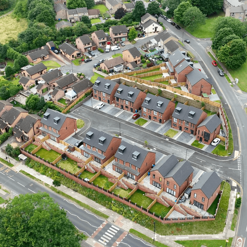



The world of surveying is changing fast, and Matrix Advanced Surveying is at the forefront of that change. With a commitment to precision, safety and sustainability, we are changing how land, aerial and infrastructure data is collected, processed and used across industries.
As urbanisation, climate change and infrastructure demands grow, the role of surveying has never been more important. Here is how Matrix Advanced Surveying is shaping the future of this vital industry.
A Vision of Innovation
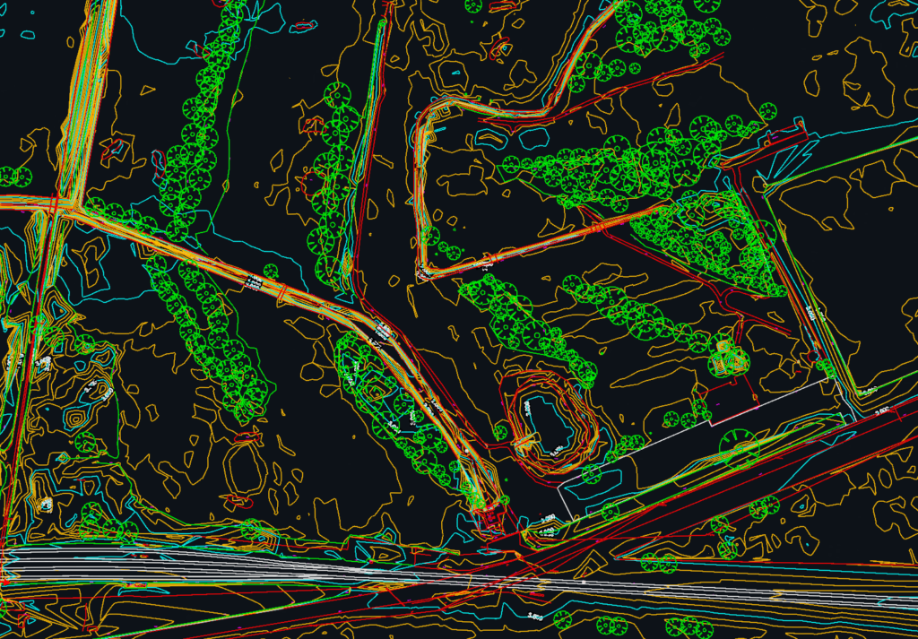
Surveying has evolved far beyond tape measures and theodolites. Today it is about using modern technology to deliver useful data with speed, accuracy and care. Matrix Advanced Surveying embodies this approach, combining traditional ground survey expertise with modern tools like drones, LiDAR and laser scanning.
Our aim is not only to meet the needs of our clients today but to anticipate the demands of tomorrow. From renewable energy to heritage conservation, we are helping to make surveying smarter, safer and greener.
Modern Technology in Surveying
We use a range of technologies that are transforming the surveying landscape. Here is a closer look at some of the tools and techniques shaping the future:
1. Drone Technology: Surveying from New Heights
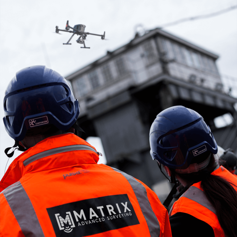
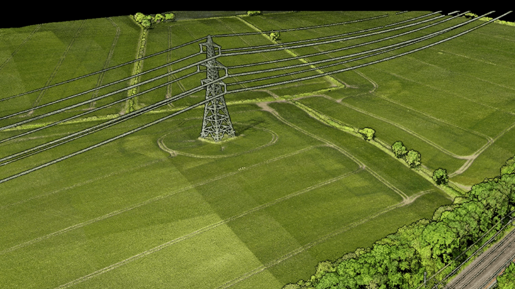
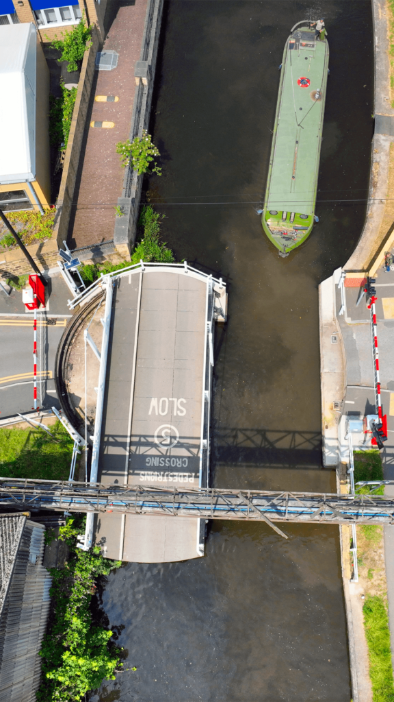
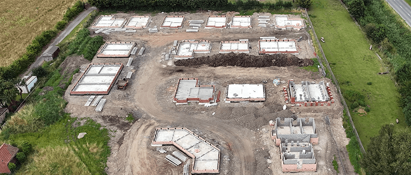
Unmanned aerial vehicles (UAVs) have transformed data collection by capturing high-resolution imagery and detailed topographic data from above.
- Applications: Infrastructure inspections, embankment and earthworks surveys, and agricultural land surveys.
- Benefits: Drones significantly reduce time and cost while improving safety in hazardous environments, and they can often survey railways and roads without stopping trains or traffic.
2. LiDAR: Precision in Every Pulse
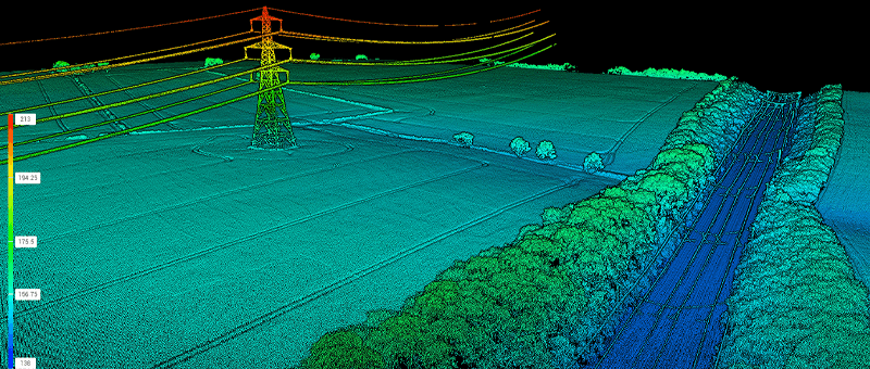
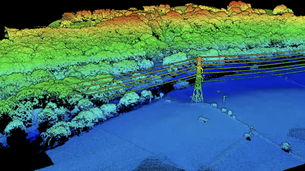
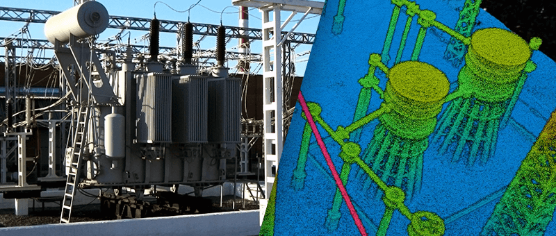
LiDAR (Light Detection and Ranging) is a cornerstone of our surveys, enabling the creation of 3D maps in remarkable detail.
- Applications: From embankments and woodland to towns and cities, LiDAR provides precise data for even the most complex terrain.
- Future Prospects: Advances in LiDAR technology are expected to make it even more portable, cost-effective and versatile.
3. Ground Survey: The Foundation of Accuracy
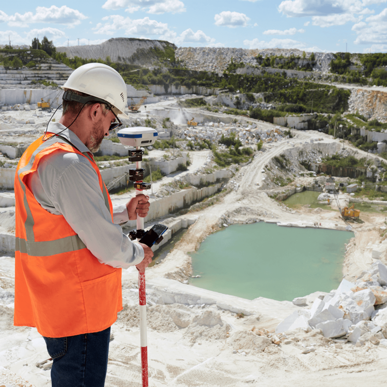
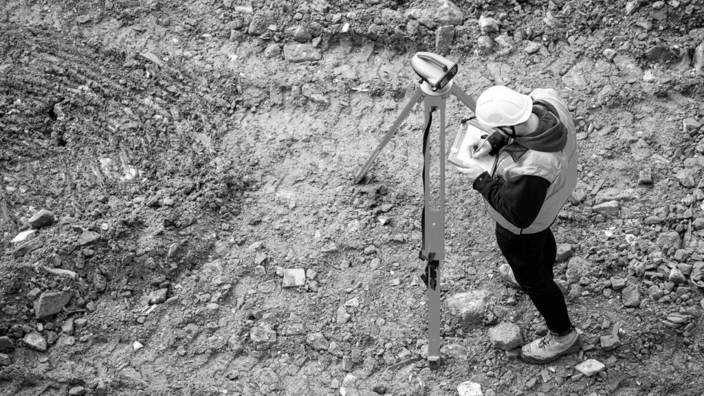
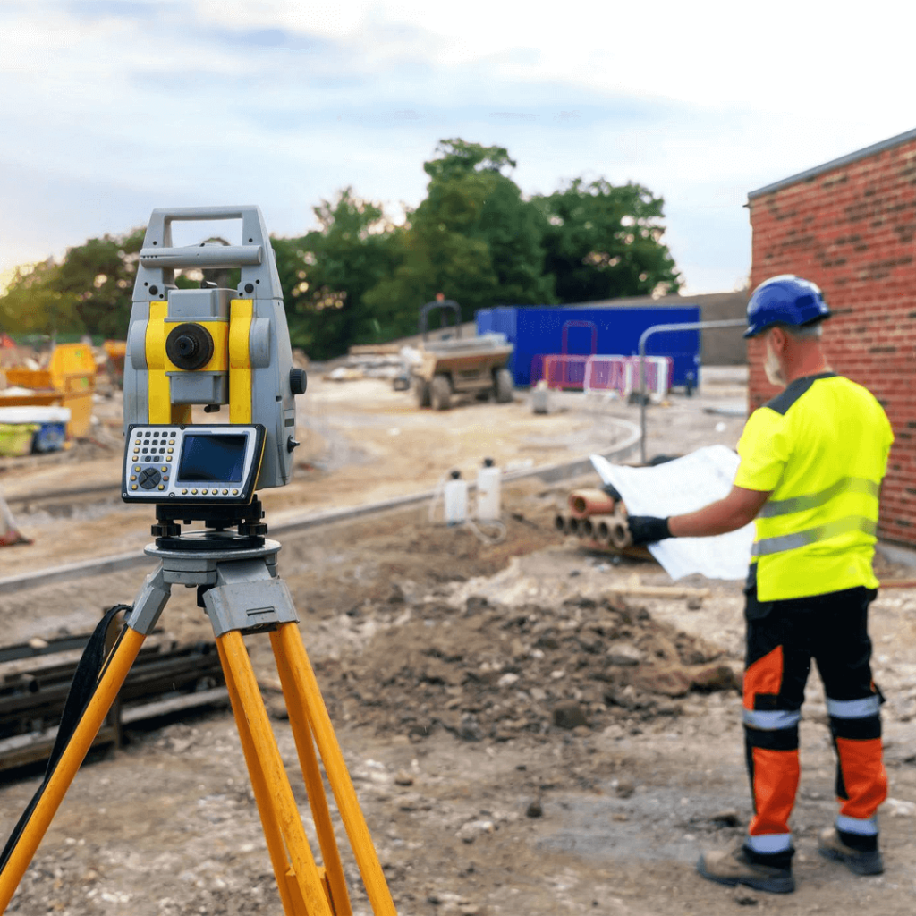
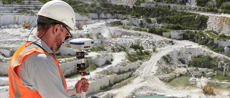
GNSS receivers, total stations and digital levels remain the backbone of accurate surveying.
- Our Approach: We combine ground survey with drone and laser scanning data, so clients get millimetre accuracy where it matters and full coverage across the whole site.
4. Lower-Impact Surveying
We aim to minimise disruption and reduce the environmental footprint of our work.
- Examples: Drone surveys reduce the need for large teams and vehicles on site, and remote capture means less disturbance to the land and habitats being surveyed.
Sector-Specific Innovations
Matrix Advanced Surveying’s expertise spans multiple sectors, each with its own challenges and opportunities:
Rail
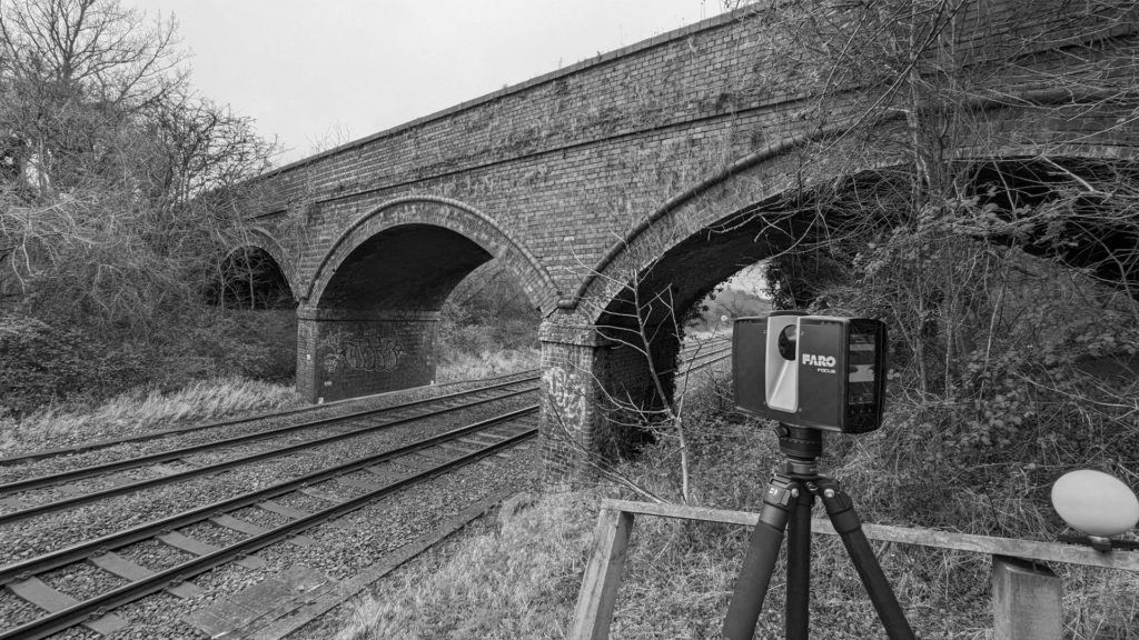
Much of our work is on the railway, surveying embankments, cuttings, bridges and structures.
- Impact: Drone surveys can often capture the line while trains are running, avoiding the cost and disruption of a possession.
Renewable Energy
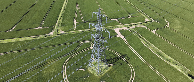
We support the shift to renewable energy with surveys for wind farms, solar installations and substations.
- Impact: Site planning, design and maintenance are supported with minimal disruption to operations.
Heritage Conservation
Preserving historic sites requires careful planning and non-intrusive methods.
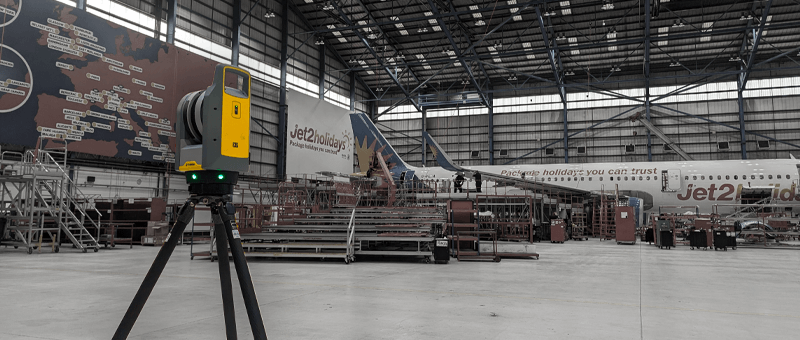
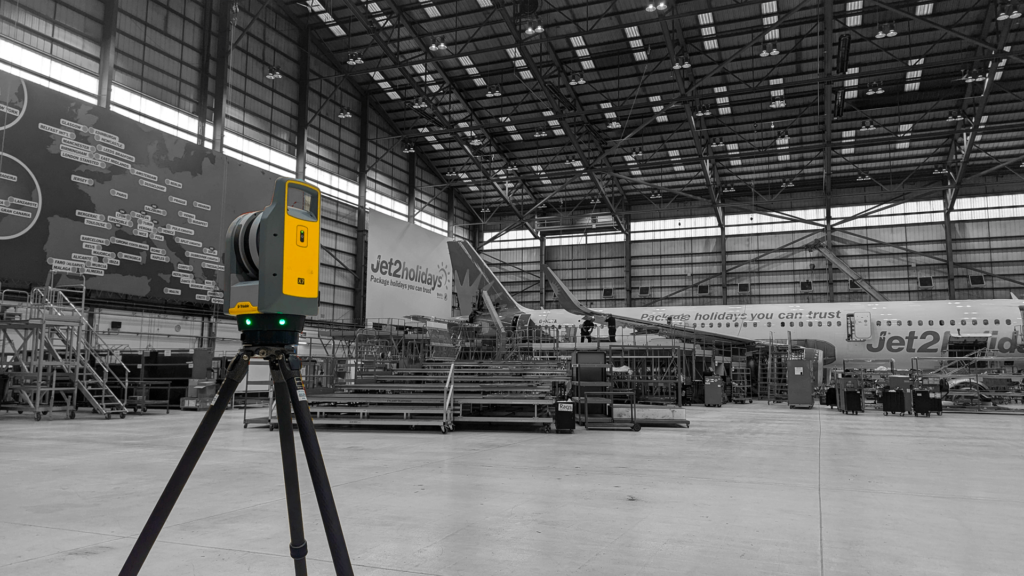
- Our Approach: 3D laser scanning and point cloud surveys record historic buildings accurately without touching fragile fabric.
Agriculture
Farms and estates benefit from fast, accurate mapping of large areas.
- How We Help: Drone mapping and level surveys help farmers and estates plan drainage, buildings and land use.
Adapting to Global Challenges
- Climate Change: As rising sea levels and extreme weather reshape landscapes, repeat LiDAR and drone surveys help monitor coastal erosion, embankments and slopes, and inform mitigation work.
- Infrastructure Resilience: Movement monitoring gives early warning of slipping slopes and moving structures, so owners can act before problems escalate.
The Human Element: Expertise Meets Technology
While technology drives the future of surveying, human expertise remains irreplaceable. Our surveyors work closely with the civil and structural engineers at our sister company, Matrix Consulting Engineers, so every project benefits from both survey and engineering knowledge.
Our team does not just use the latest tools; we apply them in ways that deliver real results for our clients, choosing the right method for each survey rather than simply the newest one.
Looking Ahead: The Future of Surveying
The surveying industry will keep evolving as technologies like artificial intelligence (AI) and augmented reality (AR) become part of everyday workflows:
- AI and Automation: Faster processing and classification of point clouds and imagery, freeing surveyors to focus on complex problems.
- Interactive Models: Clients and stakeholders exploring survey data in 3D and AR, improving collaboration and planning.
Matrix Advanced Surveying is already preparing for these advances, so our clients continue to benefit from the best methods available.
Conclusion
Surveying is no longer just about measuring land; it is about giving clients the information they need to plan, build and maintain with confidence. By combining ground survey, laser scanning and drone technology with a client-focused approach, Matrix Advanced Surveying is helping to shape the future of the industry, from the railway to renewable energy and historic buildings.