
Maritime & Coastal Surveys
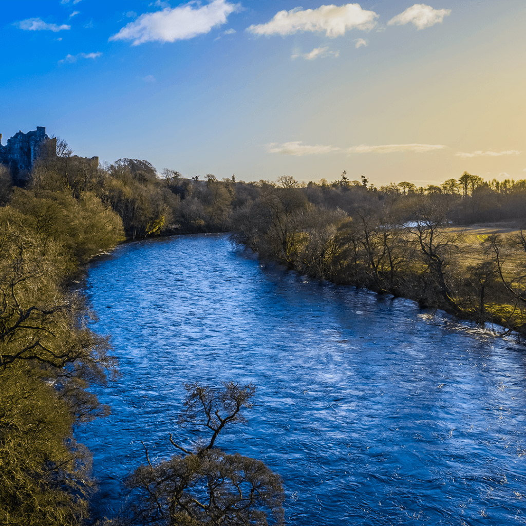
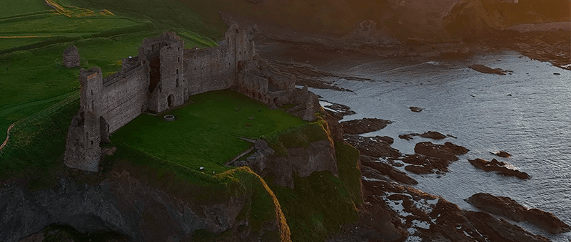
Surveys for coastlines, cliffs and shoreline structures Maritime & Coastal Surveys We survey coastlines, cliffs, beaches, sea defences and riverbanks, providing accurate data for erosion monitoring, coastal management and the design of protection works. Drone photogrammetry and LiDAR capture long stretches of coast quickly and safely, without putting surveyors at the cliff edge. Challenges in […]
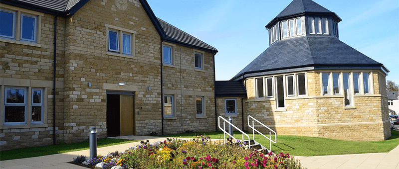
Heritage & Conservation Surveys
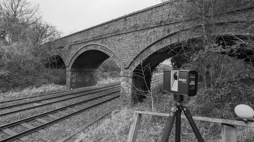
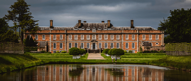
Non-intrusive surveys of historic buildings and sites Heritage & Conservation Surveys Historic and listed buildings need to be recorded accurately without causing damage. Our building surveys use terrestrial laser scanning, drone photogrammetry and LiDAR to capture every elevation, roof and detail without touching the fabric of the building. The result is a precise 3D record […]
Precise Levelling & Monitoring
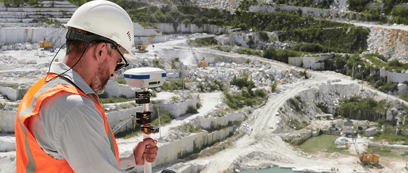
Precise levelling and repeat surveys to detect movement in slopes, structures and walls Precise Levelling & Monitoring Precise levelling and monitoring surveys tell you whether a structure, slope or wall is moving, how much and how fast. We fix survey targets and levelling points to the asset, take a baseline reading, then return to take […]