Non-intrusive surveys of historic buildings and sites
Heritage & Conservation Surveys
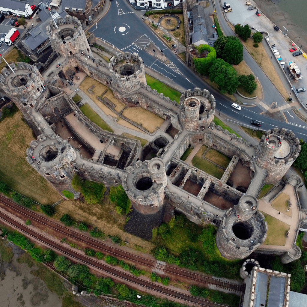
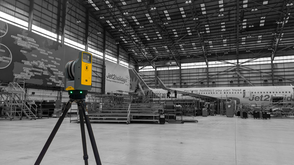
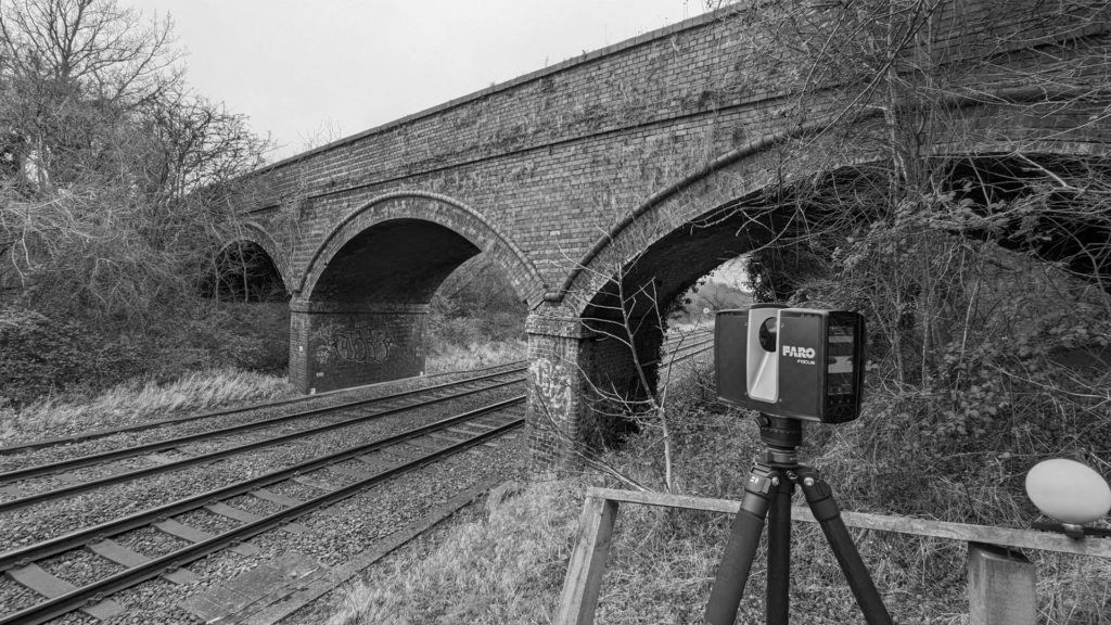
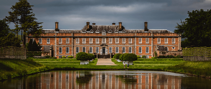
Historic and listed buildings need to be recorded accurately without causing damage. Our building surveys use terrestrial laser scanning, drone photogrammetry and LiDAR to capture every elevation, roof and detail without touching the fabric of the building. The result is a precise 3D record for conservation, repair, alteration and planning.
Challenges in the Heritage & Conservation Sector
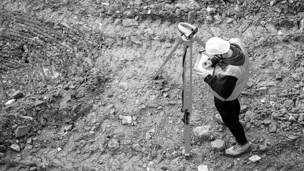
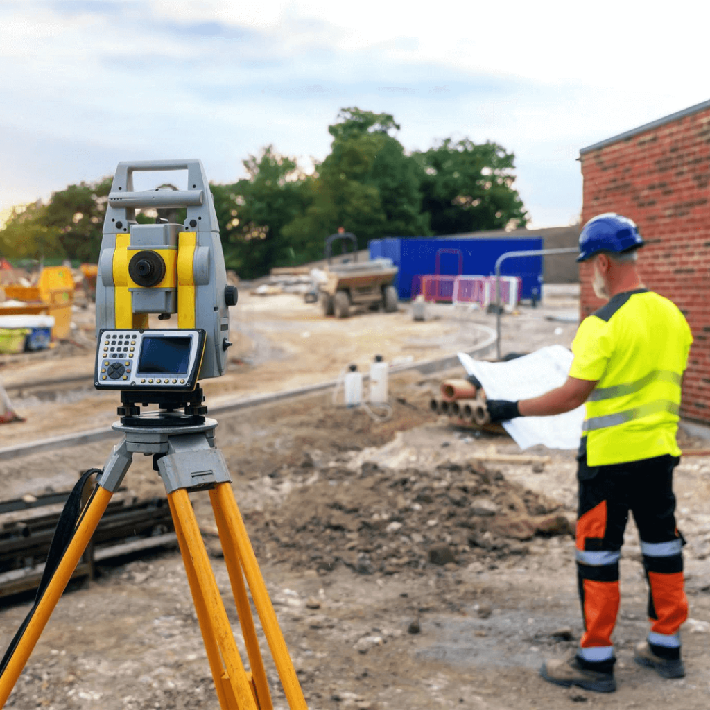
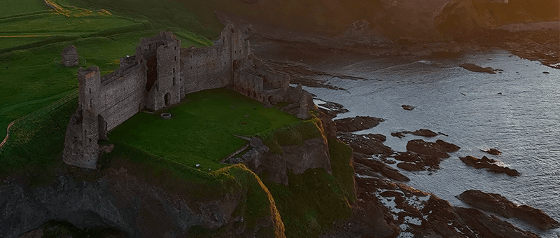
Historic buildings are often fragile, irregular and difficult to access, with high roofs, towers and ornate detail. Traditional measuring can require scaffolding and physical contact, which adds cost and risk to delicate fabric. Conservation work needs a complete and accurate record before decisions are made.
Advanced Technology for Heritage & Conservation Surveys
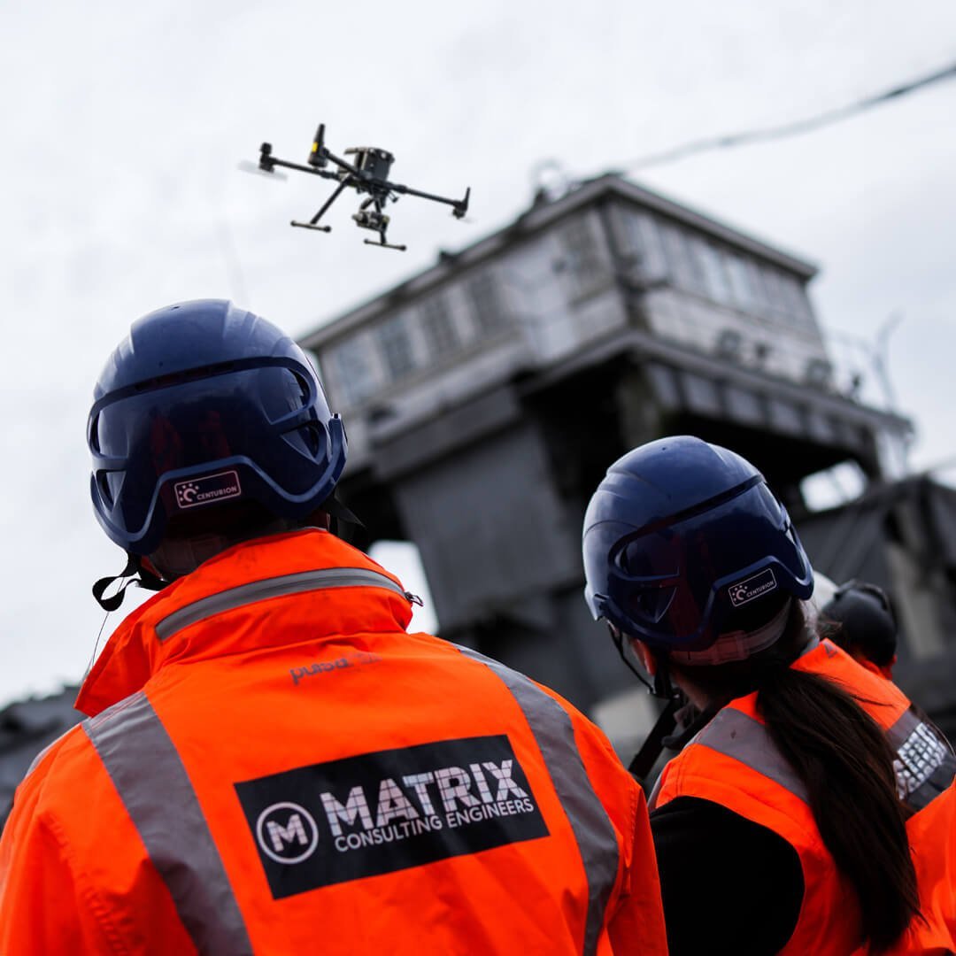
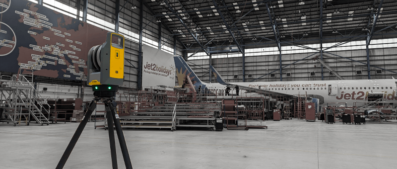
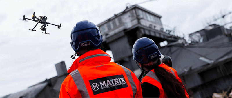
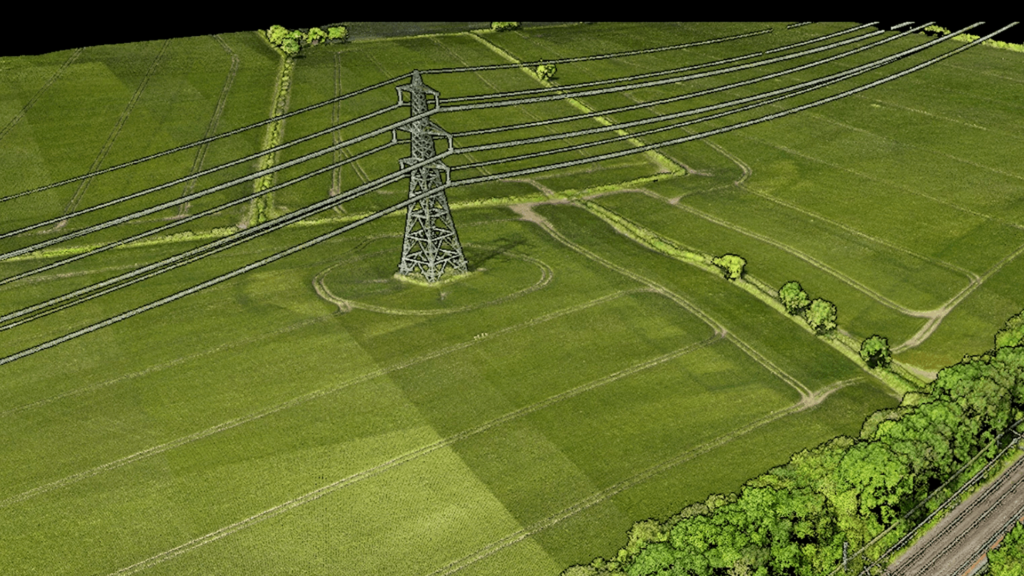
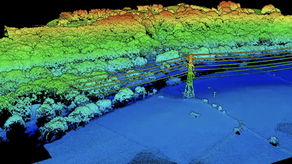
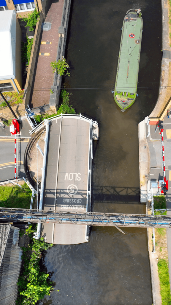
Laser scanning and drone photogrammetry are completely non-intrusive. Scans capture walls, floors and interiors in millimetre detail, while drones record roofs, towers and high-level stonework without scaffolding. Together they produce point clouds, 3D models, measured drawings and orthophotos of every elevation.
Services for Heritage & Conservation Surveys
Point Cloud Survey
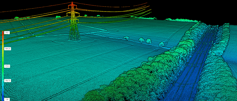
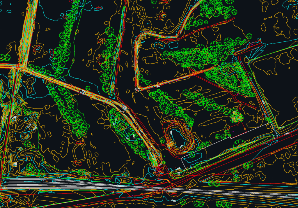
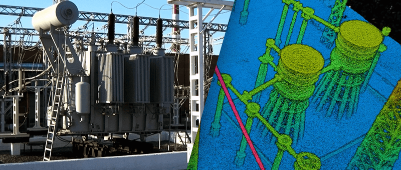
Terrestrial laser scanning and drone LiDAR captured as a measured 3D point cloud for design and as-built records.
Why Choose Us for Heritage & Conservation Surveys?
Our surveys are non-intrusive, so they are safe for delicate and listed buildings. We provide a complete, accurate record that conservation architects, engineers and planners can rely on, and Matrix Consulting Engineers can advise on structural repair and strengthening.
We invite you to discover the difference that Matrix Advanced Surveying can make for your project. Contact us today to learn more about our services and how we can help you navigate the complexities of modern surveying with confidence and expertise.