Discreet, accurate surveys for defence sites and estates
Surveys for the Defence Sector
We provide topographic surveys, building and structure surveys, laser scanning and inspections for defence sites, estates and infrastructure. We understand that defence work comes with strict security, access and confidentiality requirements, and we plan every survey around them.
Project details stay confidential. We never publish the locations, clients or data from defence work, and survey information is handled and shared only as the client directs.
Challenges on Defence Sites
Defence sites often have controlled access, escort requirements and restrictions on photography, drones and data. Work has to fit around live operations, and survey information can be sensitive. Clients need a survey team that follows the rules, keeps a low profile and delivers accurate data without fuss.
Survey Methods for Defence Projects
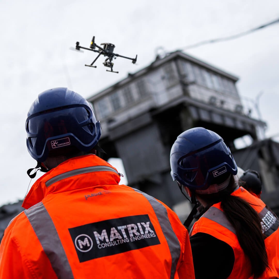
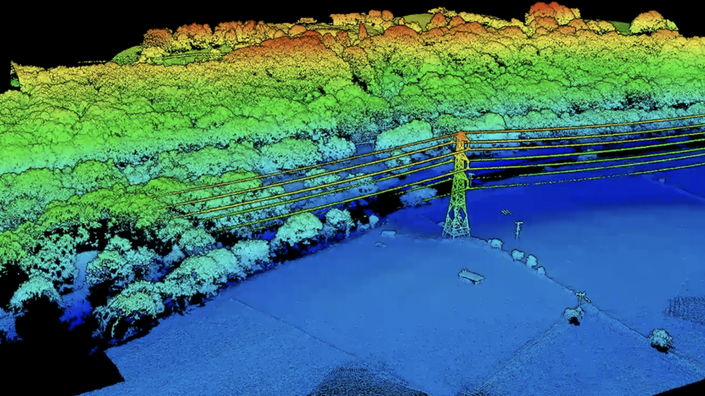
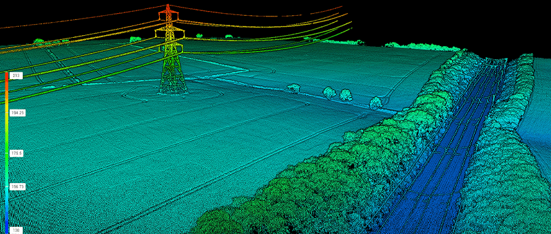
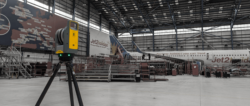
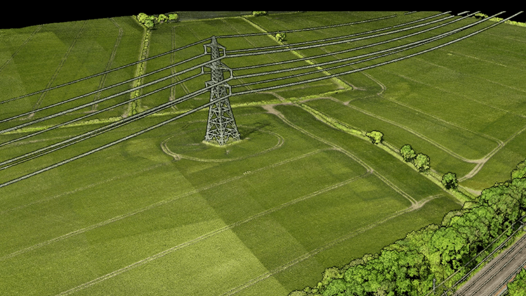
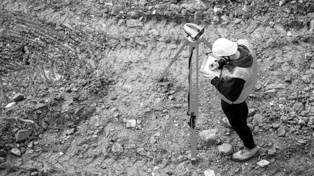
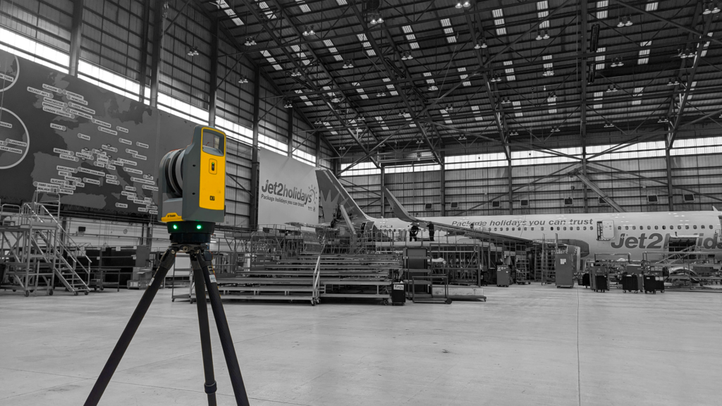
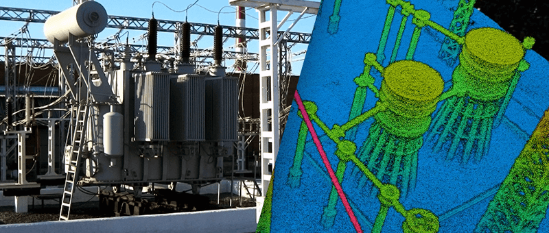
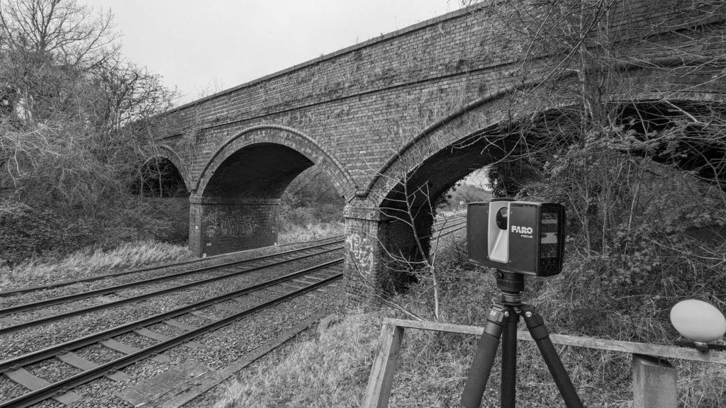
We use GNSS, total station and terrestrial laser scanning to survey buildings, hangars, structures and ground with high accuracy, and drone photogrammetry and LiDAR where airspace and site rules permit. Data is delivered as 2D CAD, 3D models and point clouds, in the formats and through the channels the client specifies.
Our Defence Survey Services
Topographical Survey
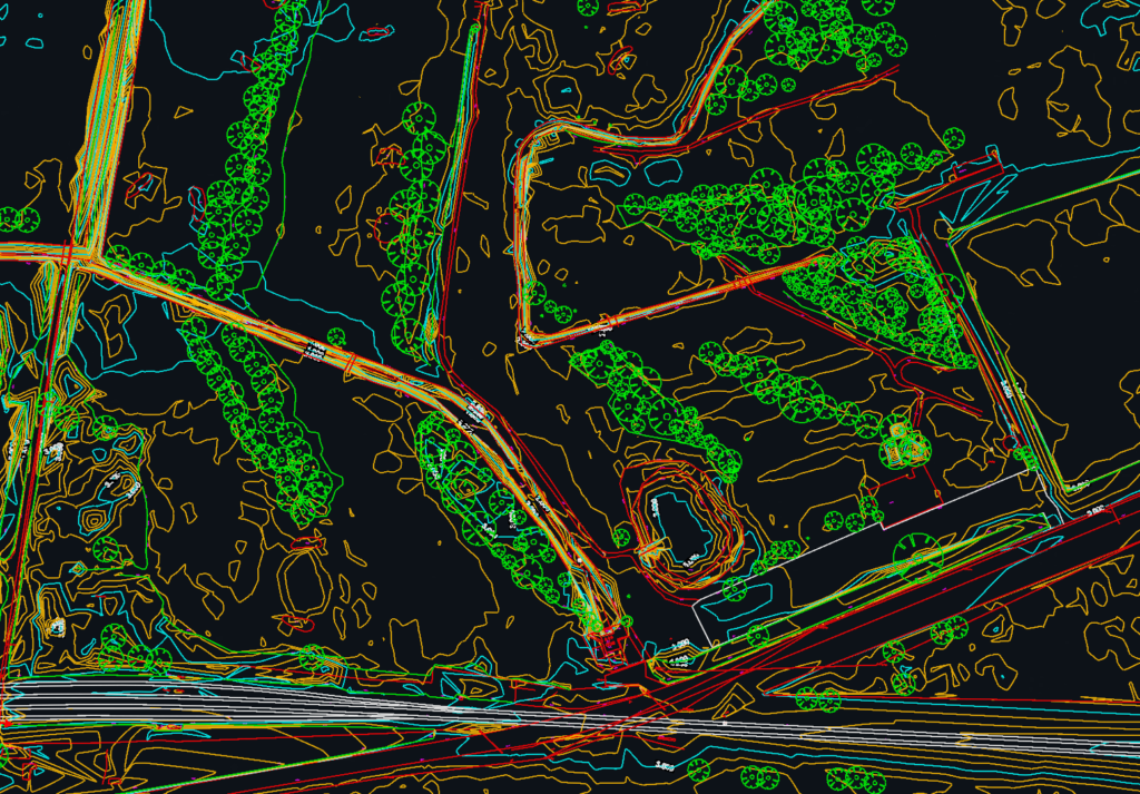
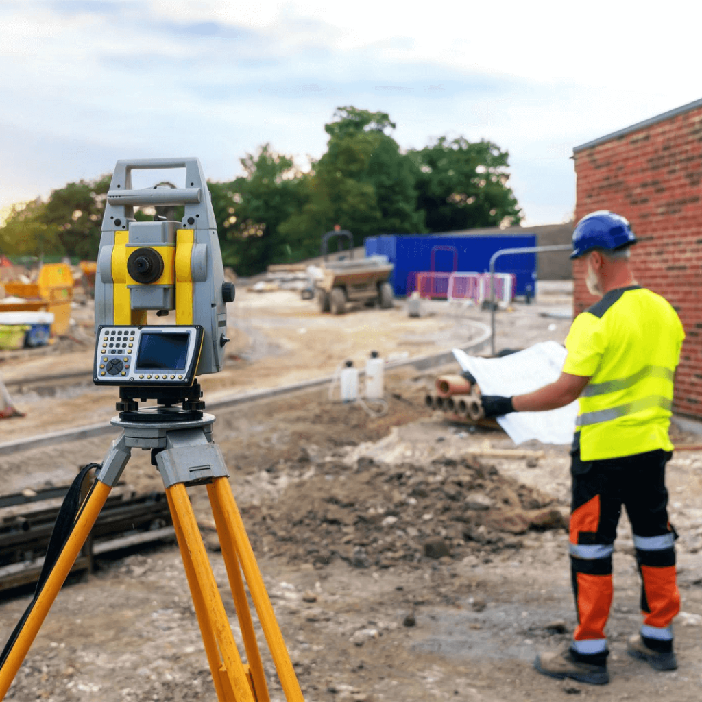
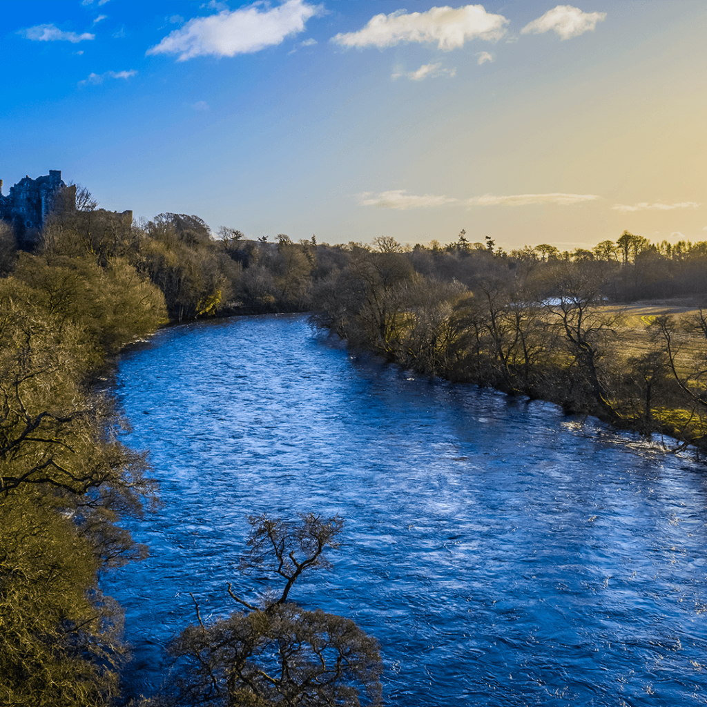
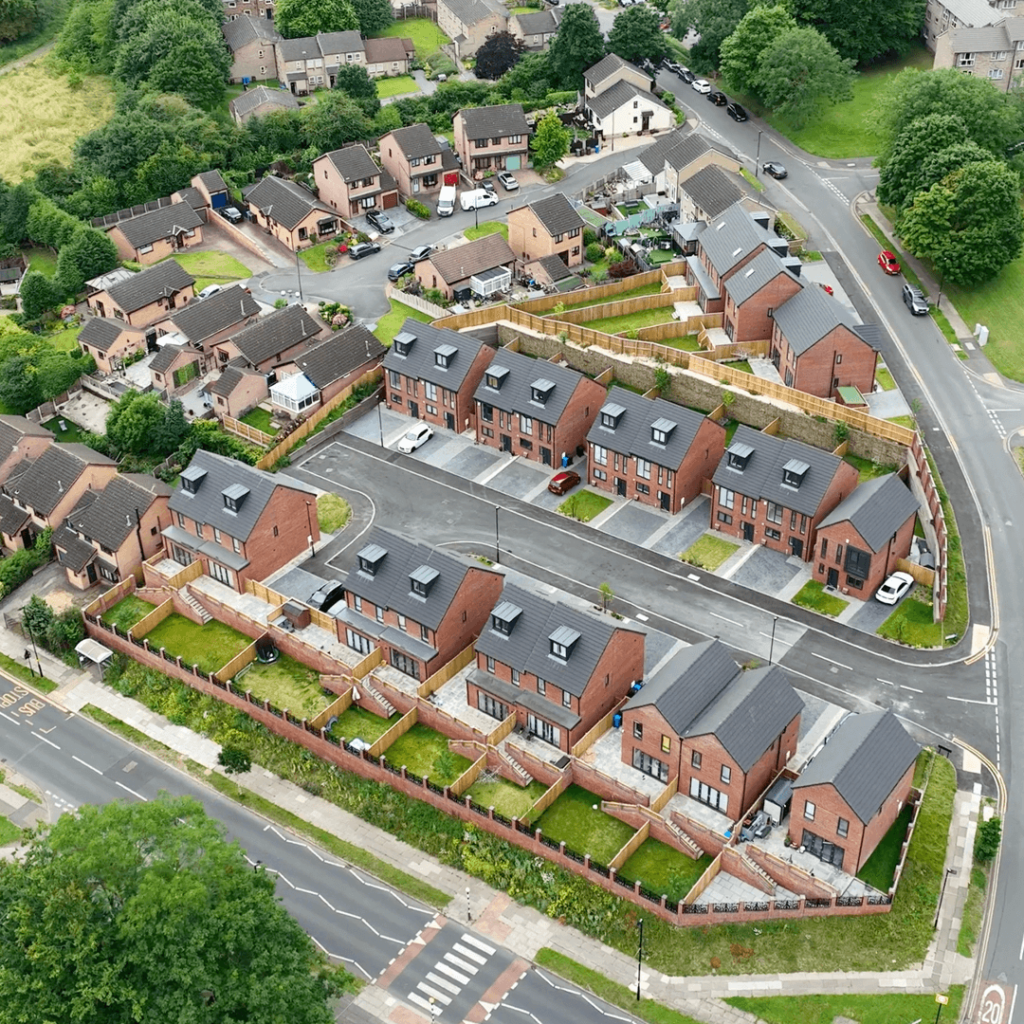
Levels, contours and site features measured with GNSS, total station and drone, delivered as CAD drawings and 3D models.
We have delivered surveys on defence projects and understand the discretion they require. Our team works carefully within site rules, keeps project information confidential and provides accurate data that engineers can rely on. Our sister company, Matrix Consulting Engineers, can provide civil and structural engineering design from the same survey.
We invite you to discover the difference that Matrix Advanced Surveying can make for your project. Contact us today to learn more about our services and how we can help you navigate the complexities of modern surveying with confidence and expertise.