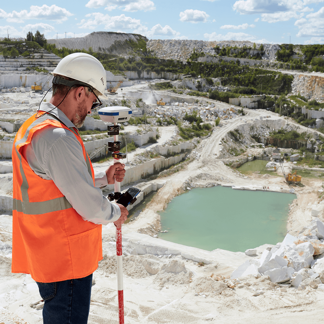
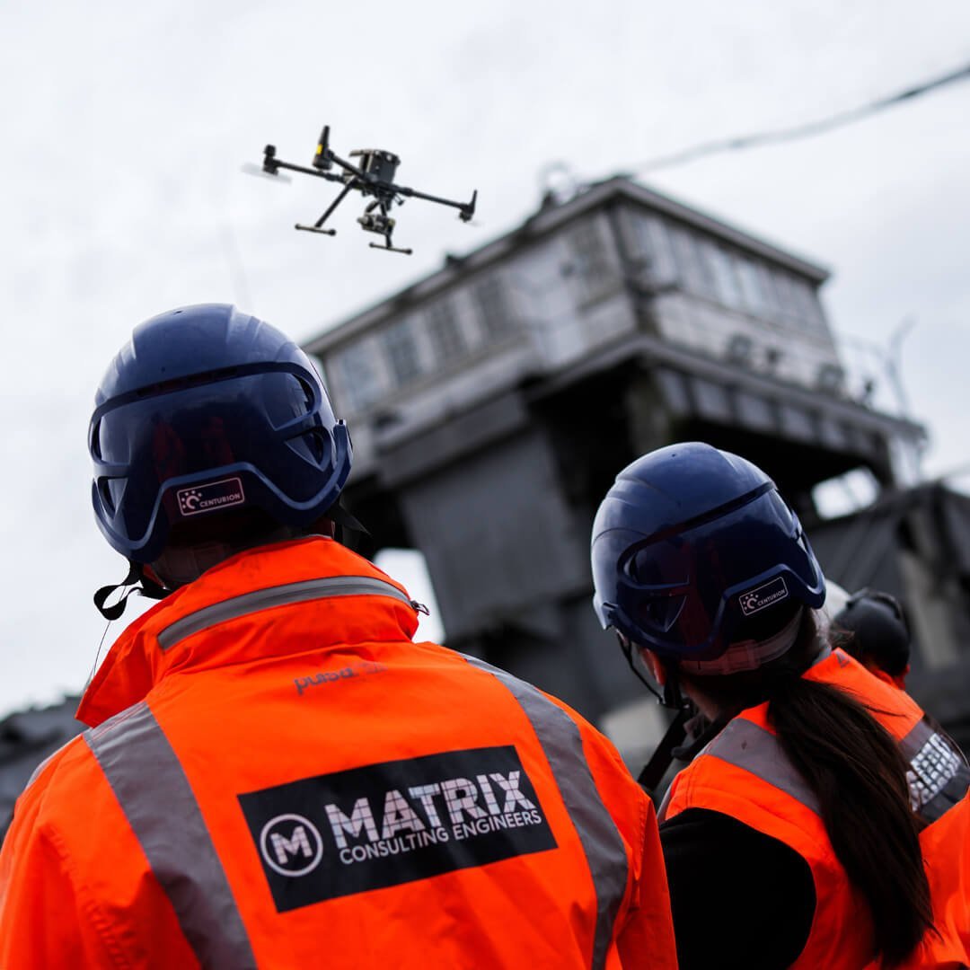
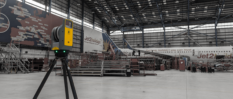
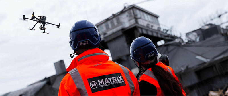
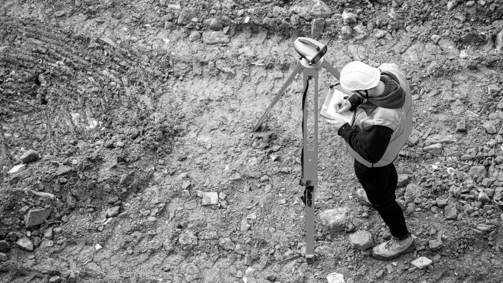
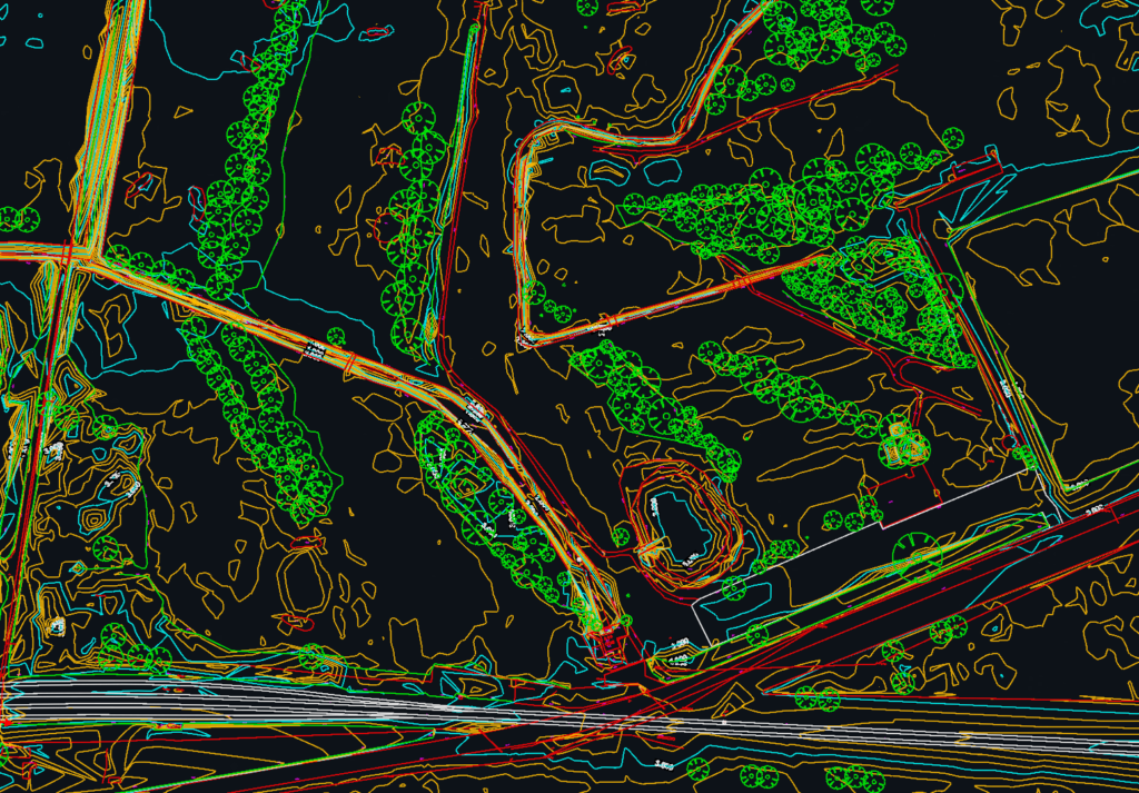
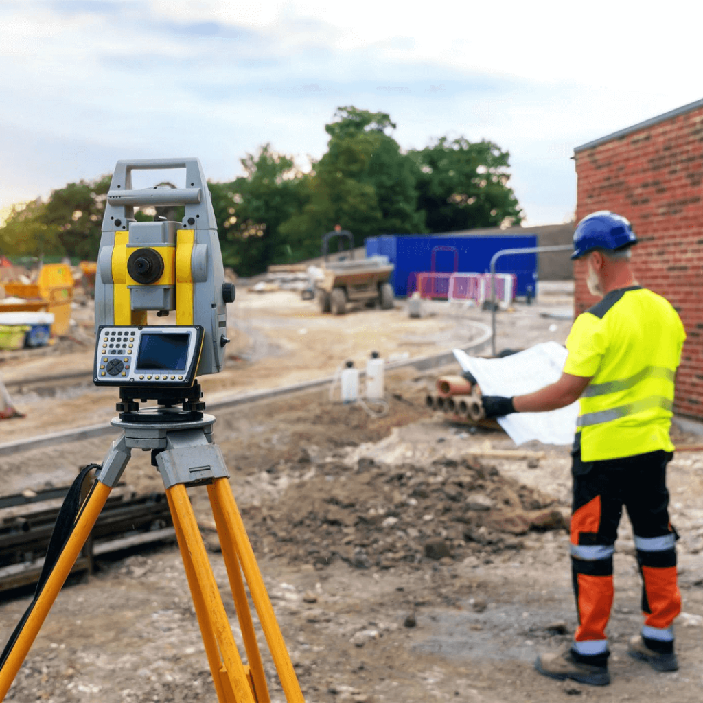
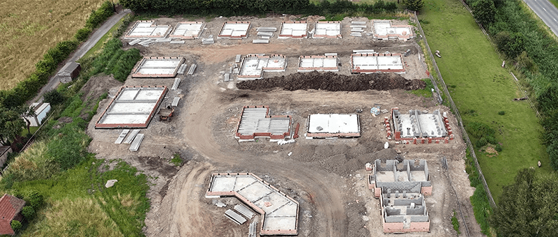
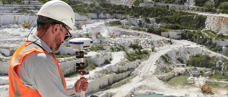
We provide topographic surveys, stockpile and void volumes, face and bench surveys and 3D models for mines and quarries. Drone surveys capture the whole site quickly and keep our surveyors away from faces, edges and plant, while ground survey with GNSS and total station provides accurate control.
Challenges in the Mining & Quarrying Sector
Quarries and mines are large, active sites with steep faces, moving plant and changing ground. Surveying them on foot takes time and puts people close to hazards. Operators need regular, accurate volumes for stock control, planning compliance and restoration.
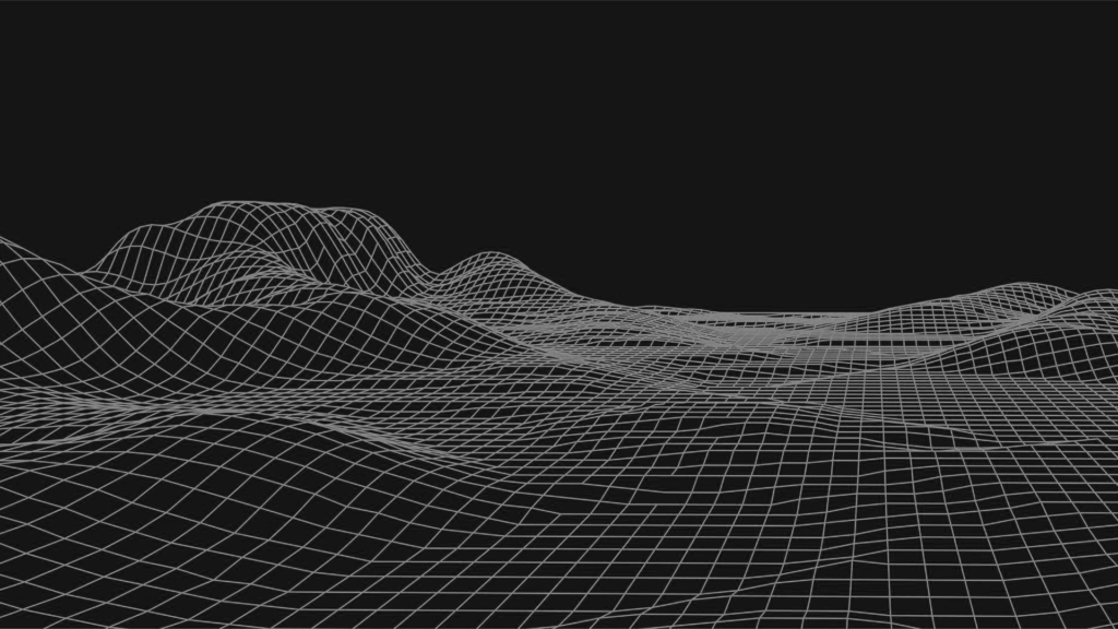
A drone survey maps faces, benches, stockpiles and haul roads from a safe distance, usually without stopping operations. We produce accurate volumes, contours, surface models and comparisons between surveys, so you can track extraction and stock levels over time.
Our Surveys for Mining & Quarrying
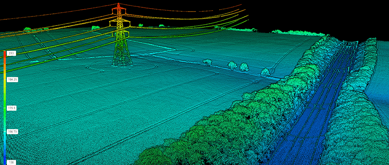
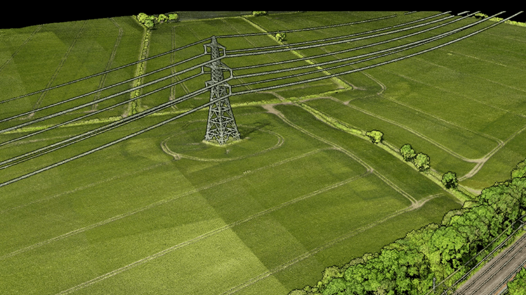
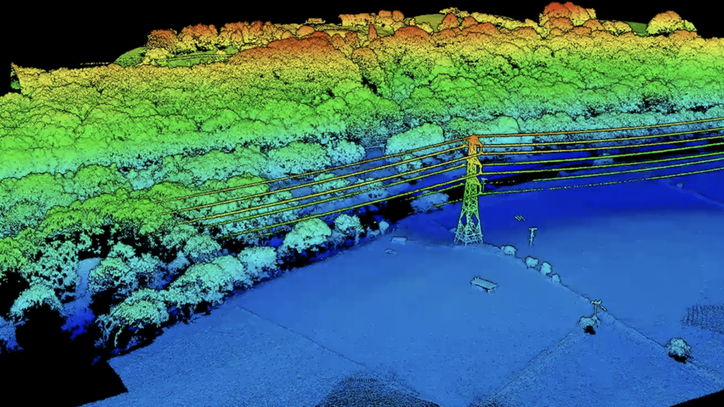
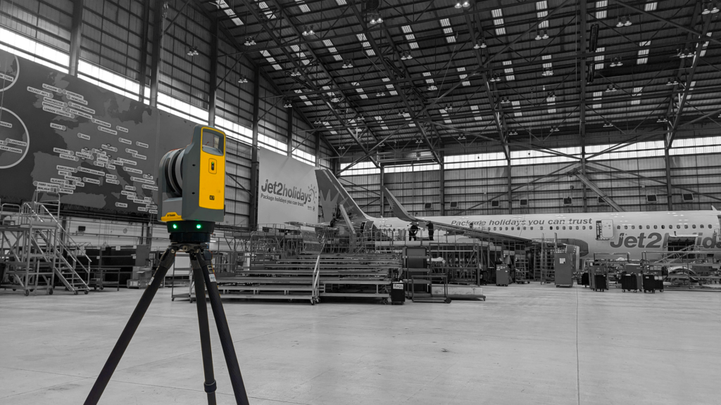
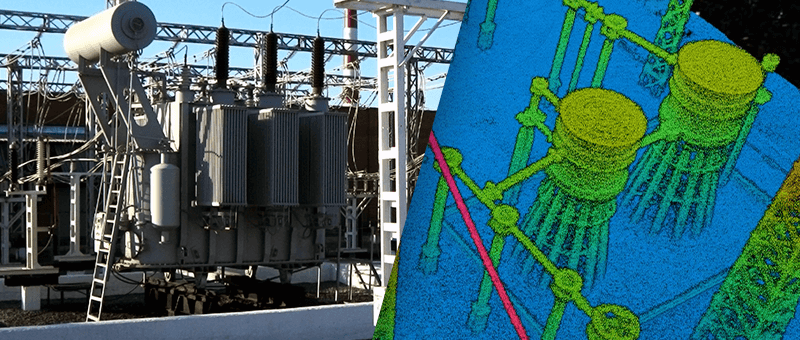
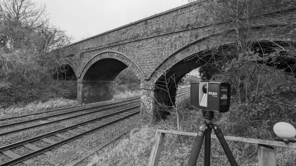
Point Cloud Survey
Terrestrial laser scanning and drone LiDAR captured as a measured 3D point cloud for design and as-built records.
We deliver regular, accurate volumes and site models quickly, with surveys planned around your operations and safety rules. Keeping surveyors away from faces and plant makes every visit safer, and consistent survey control means each survey compares reliably with the last.
We invite you to discover the difference that Matrix Advanced Surveying can make for your project. Contact us today to learn more about our services and how we can help you navigate the complexities of modern surveying with confidence and expertise.