


Our Services
Land, building and infrastructure surveys from one team
Comprehensive Surveying Services
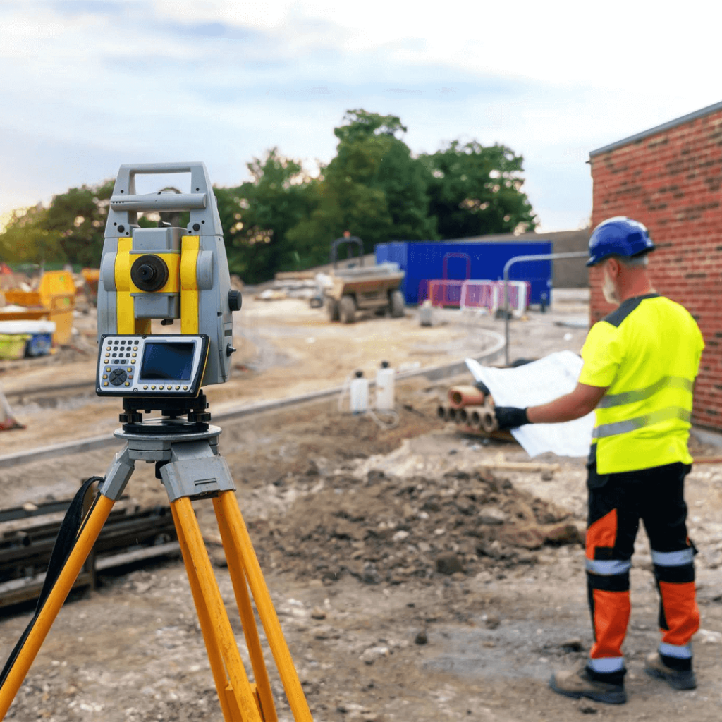
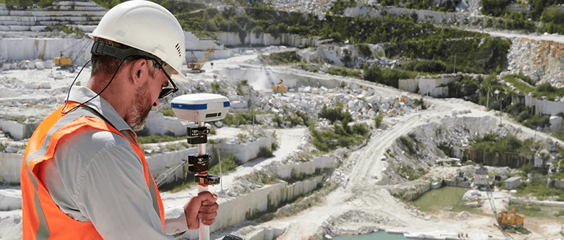
Matrix Advanced Surveying provides a full range of land, building and infrastructure surveys. We combine GNSS, total station, terrestrial laser scanning, and drone photogrammetry and LiDAR, so every survey uses the right method for the accuracy you need.
Topographical Surveys
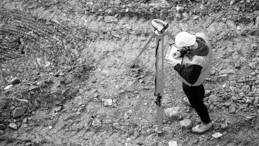
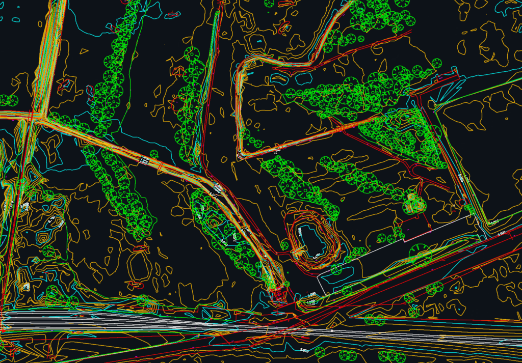
Levels, contours and site features measured with GNSS, total station and drone, delivered as CAD drawings and 3D models.
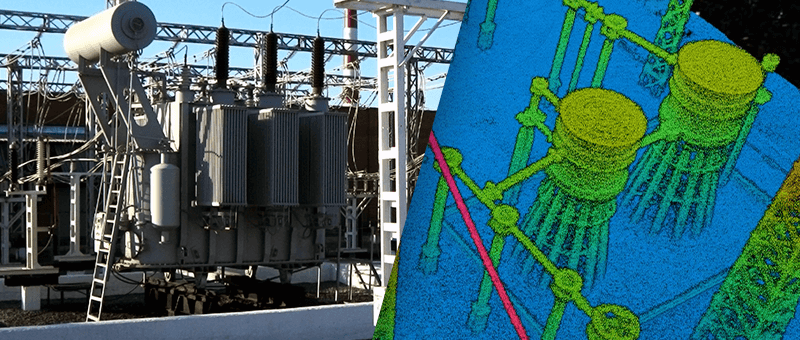
Point Cloud & 3D Laser Scanning
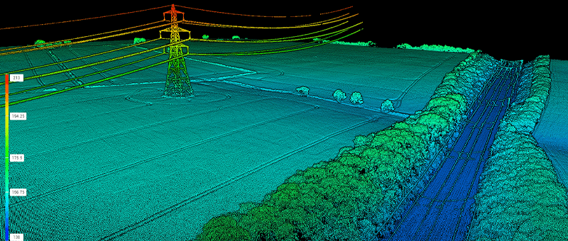
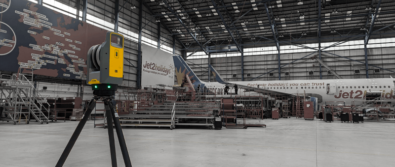
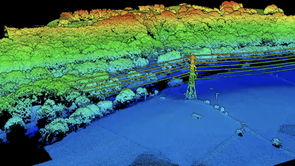
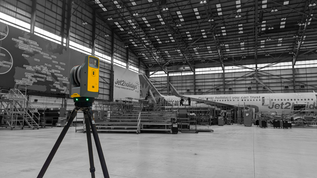
Terrestrial laser scanning and drone LiDAR captured as a measured 3D point cloud for design and as-built records.
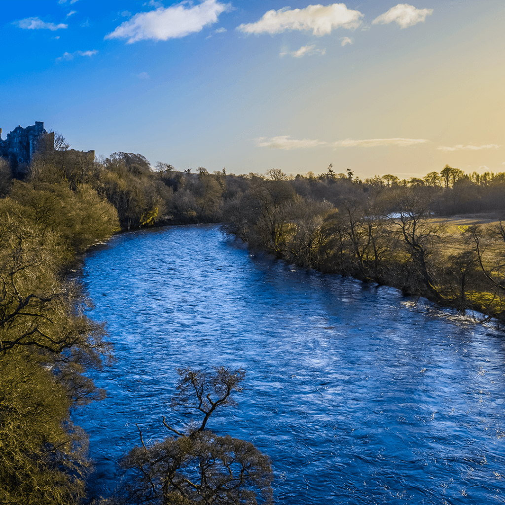
Drone / UAS Surveys
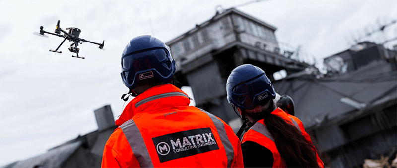
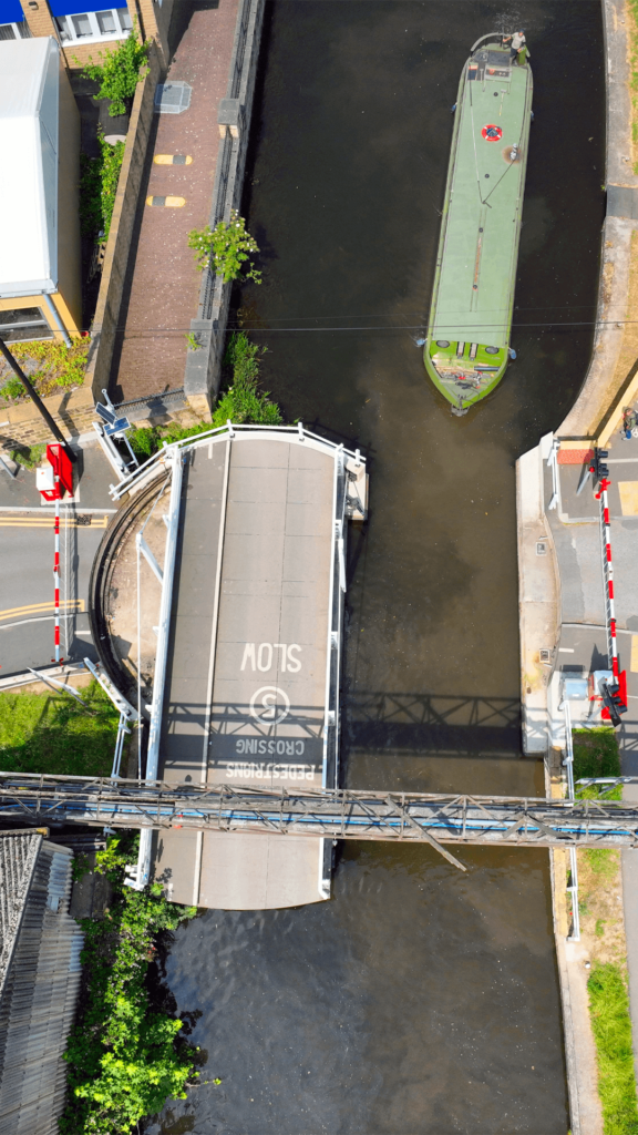
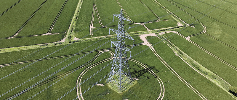
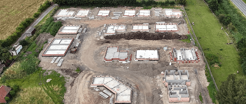
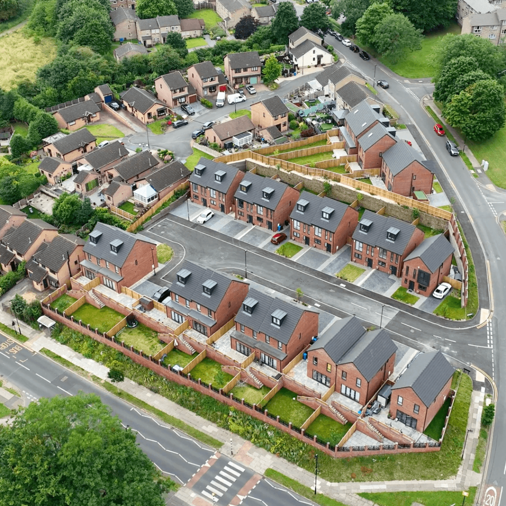
Aerial photogrammetry and LiDAR for large, live or hard-to-reach sites, without stopping works.
Photogrammetry Surveys
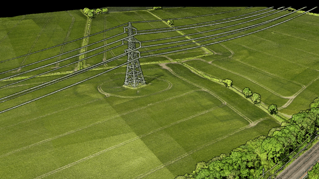
Accurate 3D models and orthophotos built from overlapping drone imagery, checked against ground control.
LiDAR Surveys
Laser measurement from drones and scanners, mapping ground, structures and terrain beneath vegetation in 3D.
Precise Levelling & Monitoring
Precise levelling and repeat readings on fixed targets to detect settlement and movement early.
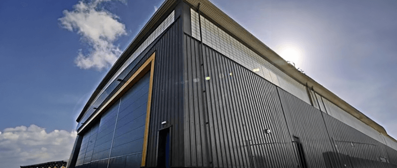
Measured Building Surveys
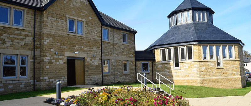
Floor plans, elevations and sections of existing buildings from 3D laser scanning.
CAD & 3D Modelling
Survey data delivered as 2D CAD drawings, 3D models and point clouds, ready for your design team.
Utility Surveys
Ground penetrating radar to locate buried pipes, ducts and cables before design or excavation.
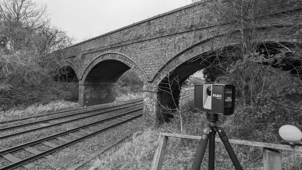
Structural Inspections
Detailed inspection of bridges, buildings and structures, with defects recorded for engineers to assess.