
Photogrammetry Surveys
Accurate 3D mapping from overlapping drone imagery
Photogrammetry Surveys by Matrix Advanced Surveying
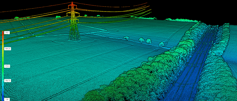
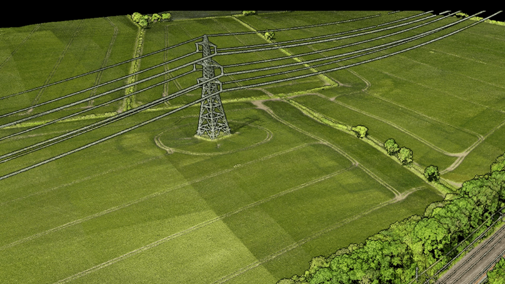
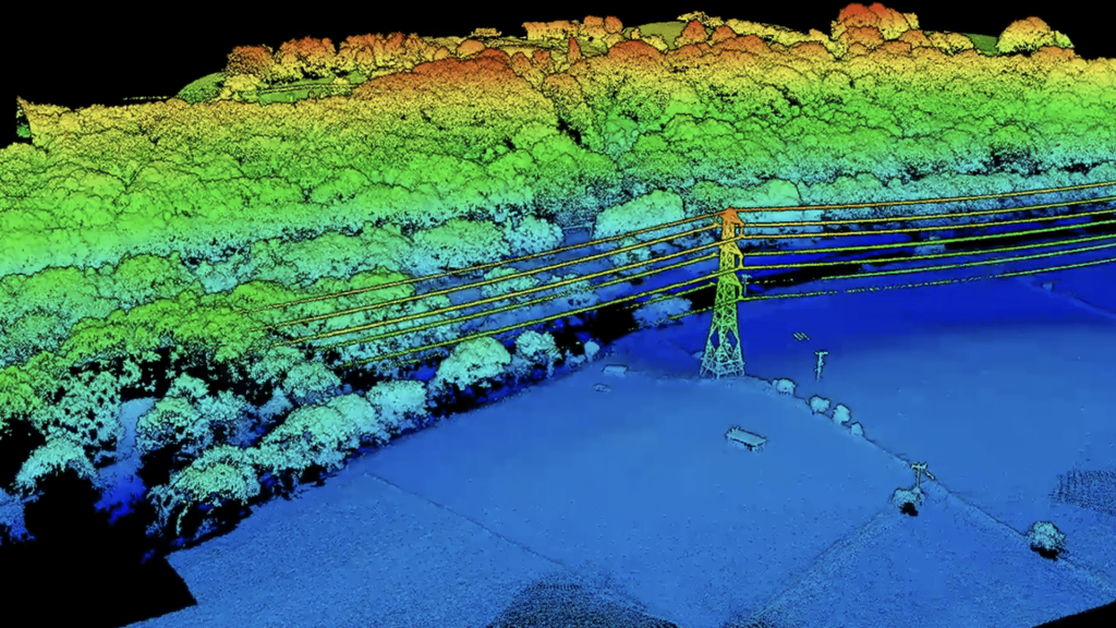
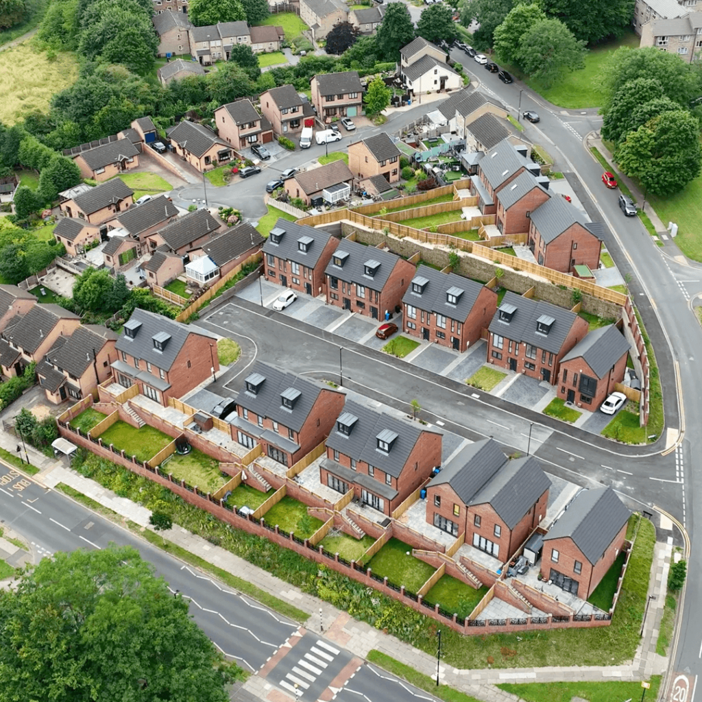
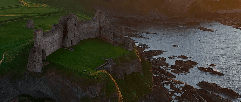
Photogrammetry builds accurate 3D models, orthophotos and maps from hundreds of overlapping photographs taken by drone. It gives a true-colour record of a site that is easy for everyone to understand, from engineers and planners to clients and stakeholders.
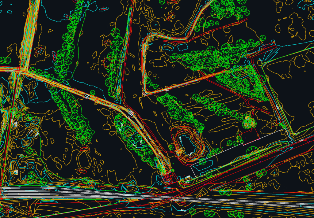
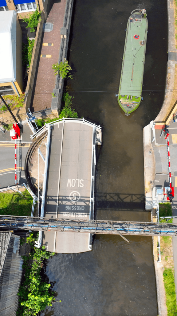
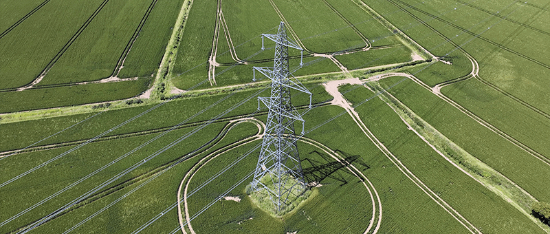
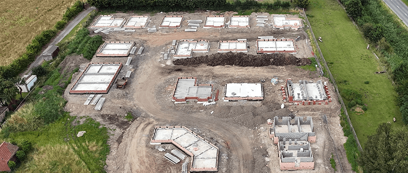
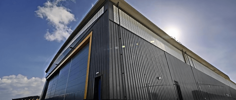
We use drone photogrammetry for topographic mapping, stockpile and earthworks volumes, construction progress records, and building and structure inspection.
Our Photogrammetry Survey Process
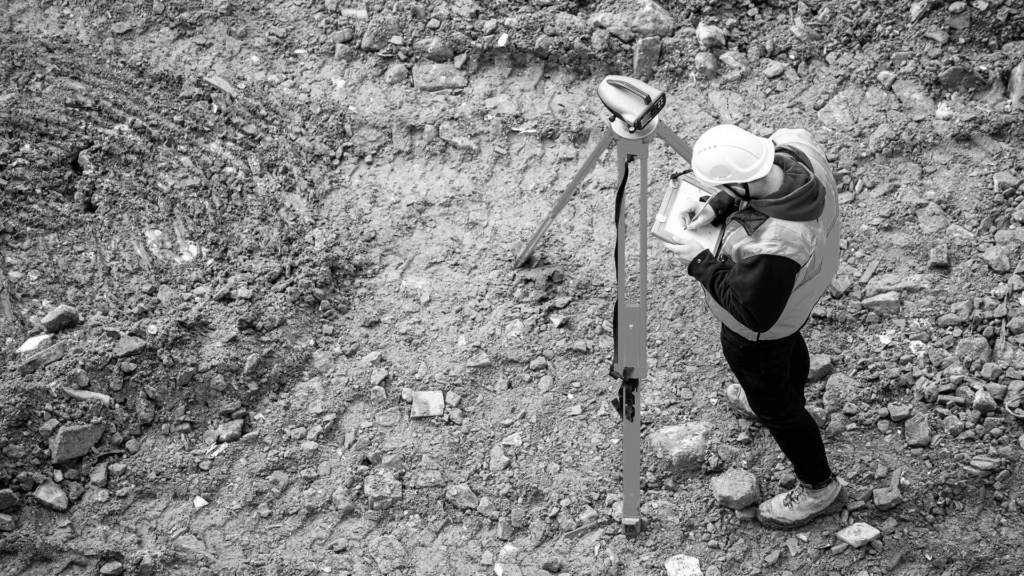
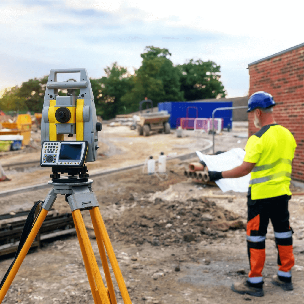
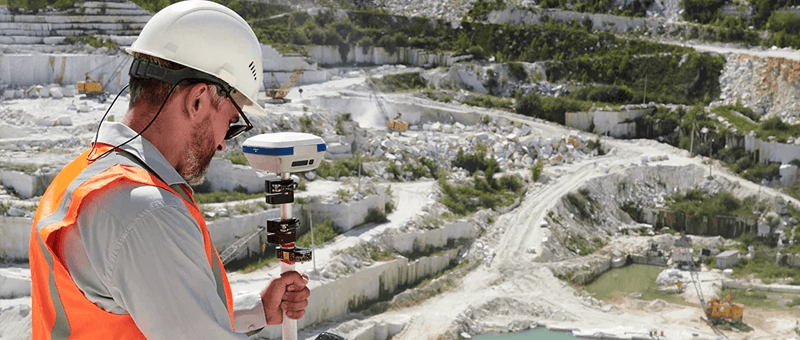
We agree the outputs and accuracy you need, set out ground control with GNSS and plan the flight to capture each area with the right overlap and angles. Images are processed in DJI Terra and DJI Modify into 3D models, orthophotos and surface models, then checked against independent control points before delivery. Typical accuracy is within a few centimetres; where you need more, we add ground survey with a total station.
Qualified Pilots and Checked Data
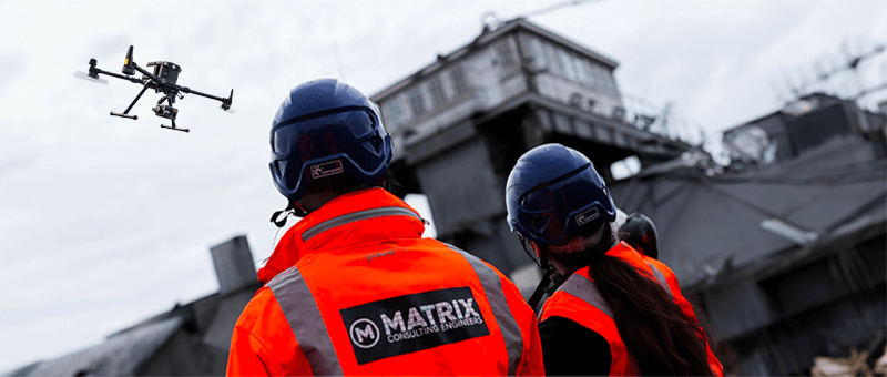
Our UAV operations follow UK Civil Aviation Authority rules and are flown by pilots holding the A2 CofC and GVC under a registered Operator ID. Quality control is built into every survey, with ground control and check points so the accuracy of the final data is measured, not assumed.

Why Choose Matrix Advanced Surveying for Photogrammetry?
Clients choose our photogrammetry surveys for:
- Fast capture of large sites without stopping work
- Clear, true-colour 3D models and orthophotos
- Accuracy measured against GNSS ground control
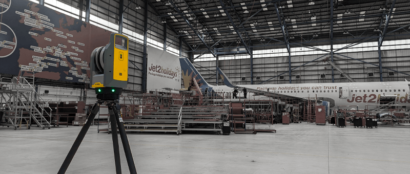
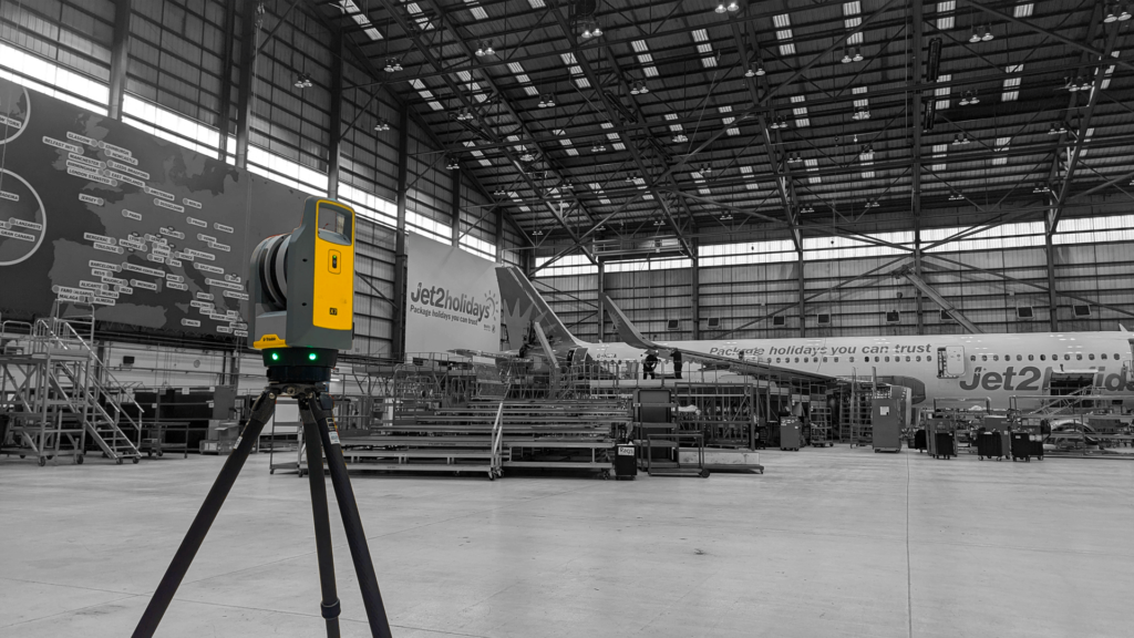
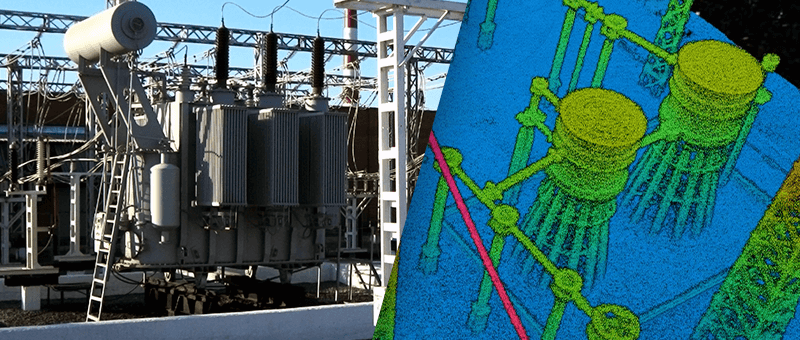
Photogrammetry often works best alongside LiDAR or ground survey. We will recommend the right combination for your site.
READY TO START YOUR NEW PROJECT?
Please fill in the form and we will get back to you as soon as possible to discuss your new project.