

Utility Surveys
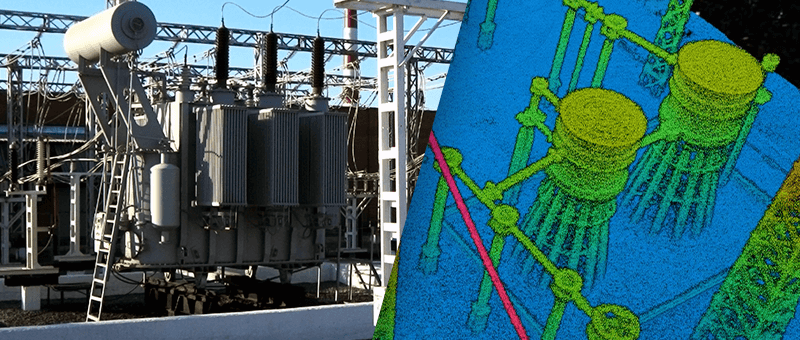
Locating buried services with ground penetrating radar before you design or dig Utility Surveys Knowing what is underground before work starts reduces the risk of striking services, avoids costly redesigns and keeps people safe. Our utility surveys use ground penetrating radar (GPR) to detect buried pipes, ducts, cables and other features beneath a site, and […]
CAD & 3D Modelling
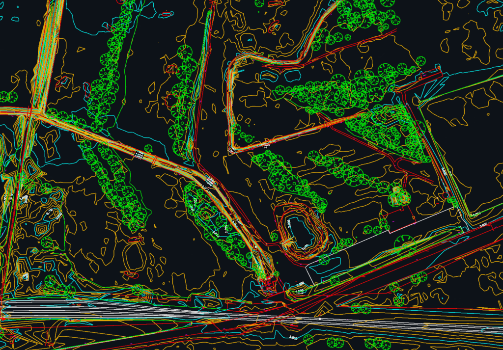
Survey data turned into drawings and models your team can use CAD & 3D Modelling Every survey we carry out ends in a deliverable your design team can use straight away. We process field data into 2D CAD drawings, 3D surface and building models, and point clouds, and we can also turn existing point clouds […]
Measured Building Surveys
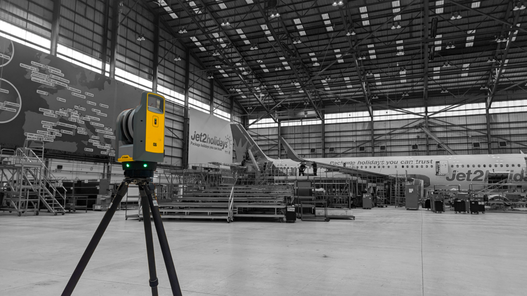
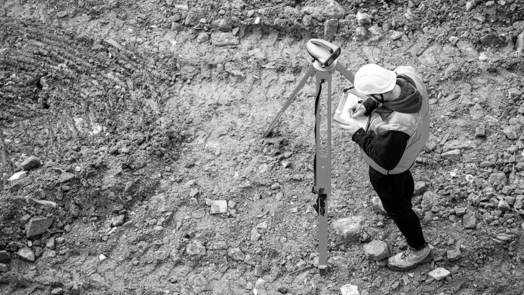
Accurate floor plans, elevations and sections of existing buildings Measured Building Surveys A measured building survey records an existing building accurately, so architects, engineers and designers can plan alterations, extensions, refurbishments and space planning from reliable drawings. We capture buildings inside and out using 3D laser scanning and total station survey, with drones for roofs […]
Defence Surveys
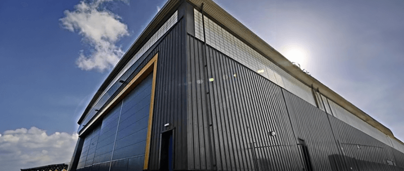
Discreet, accurate surveys for defence sites and estates Surveys for the Defence Sector We provide topographic surveys, building and structure surveys, laser scanning and inspections for defence sites, estates and infrastructure. We understand that defence work comes with strict security, access and confidentiality requirements, and we plan every survey around them. Project details stay confidential. […]
Highway Surveys
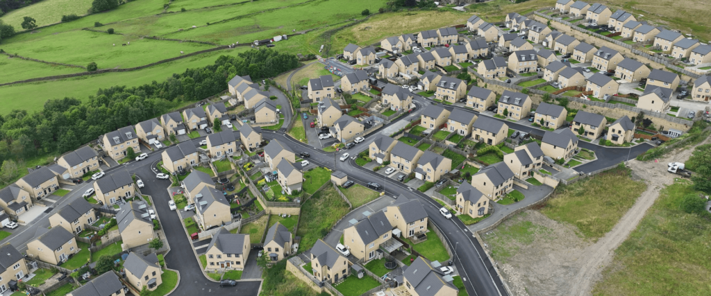
Road and highway surveys without lane closures Drone and Ground Surveys for Highways We survey road corridors, junctions, verges, embankments and highway structures for designers, contractors and asset owners. By flying our drones from beside the carriageway, facing in from each side, we capture the full width of the road while traffic keeps moving, with […]
Rail Surveys
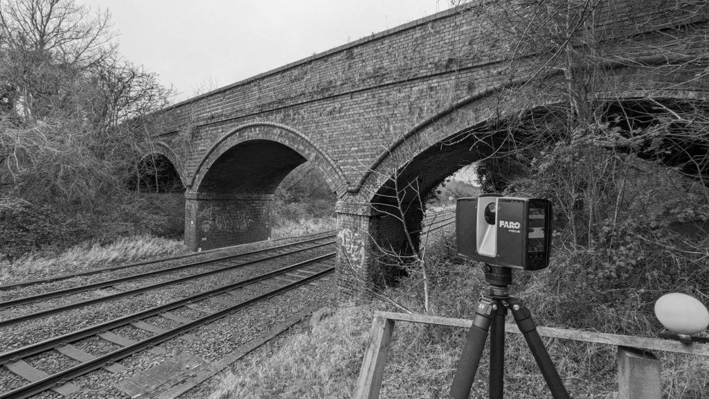
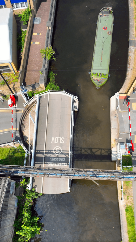
Rail surveys without the cost of a possession Drone and Ground Surveys for the Railway We survey embankments, cuttings, bridges, culverts and other railway assets for Network Rail contractors and engineers. Our drone surveys can capture the line while trains are running, flying at a safe height agreed in the flight plan, so there is […]
Maritime & Coastal Surveys
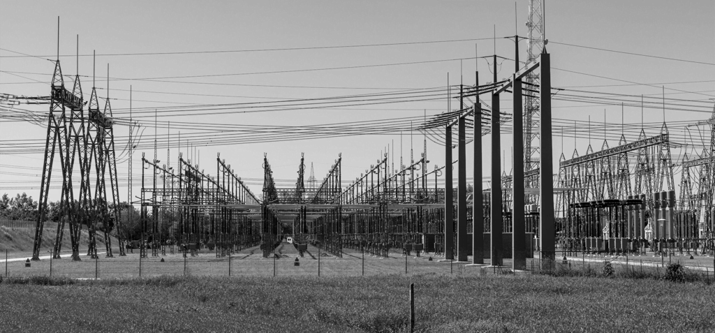
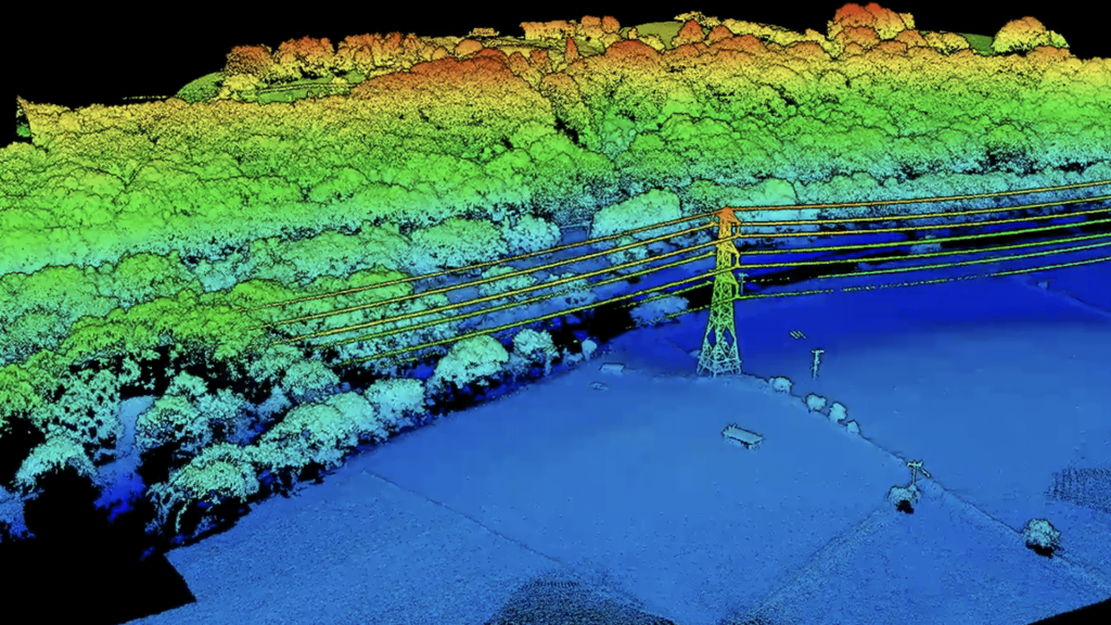
Surveys for coastlines, cliffs and shoreline structures Maritime & Coastal Surveys We survey coastlines, cliffs, beaches, sea defences and riverbanks, providing accurate data for erosion monitoring, coastal management and the design of protection works. Drone photogrammetry and LiDAR capture long stretches of coast quickly and safely, without putting surveyors at the cliff edge. Challenges in […]
Heritage & Conservation Surveys
Non-intrusive surveys of historic buildings and sites Heritage & Conservation Surveys Historic and listed buildings need to be recorded accurately without causing damage. Our building surveys use terrestrial laser scanning, drone photogrammetry and LiDAR to capture every elevation, roof and detail without touching the fabric of the building. The result is a precise 3D record […]
Precise Levelling & Monitoring
Precise levelling and repeat surveys to detect movement in slopes, structures and walls Precise Levelling & Monitoring Precise levelling and monitoring surveys tell you whether a structure, slope or wall is moving, how much and how fast. We fix survey targets and levelling points to the asset, take a baseline reading, then return to take […]
Agriculture Surveys
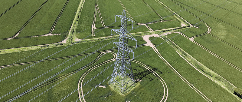
Surveys for farms, estates and agricultural land Agriculture Surveys Our agriculture surveys give farmers, estates and land agents accurate maps and data about their land. We map fields and holdings by drone and survey boundaries, levels and features on the ground, supporting drainage and irrigation planning, land levelling, farm building and yard projects, and planning […]