
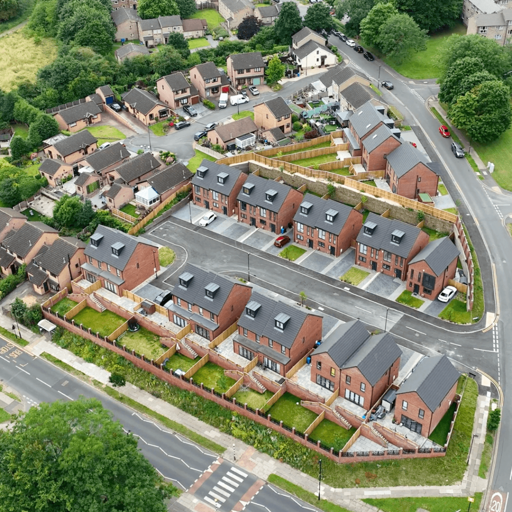

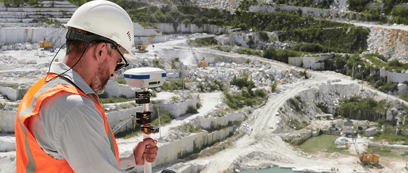

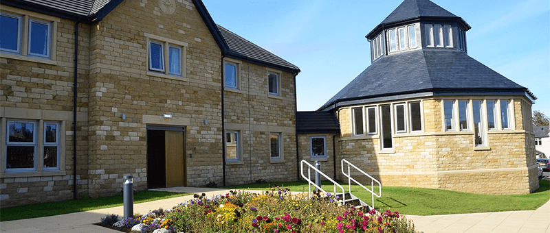
Drone Surveys
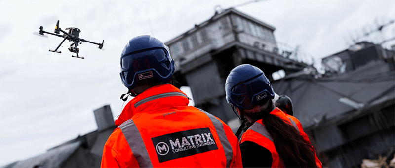
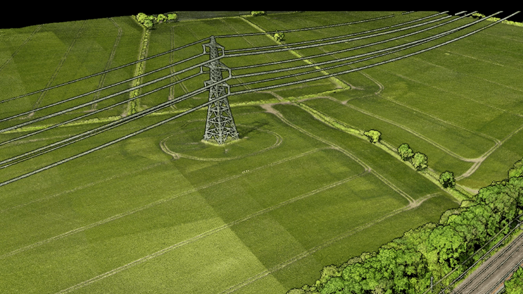
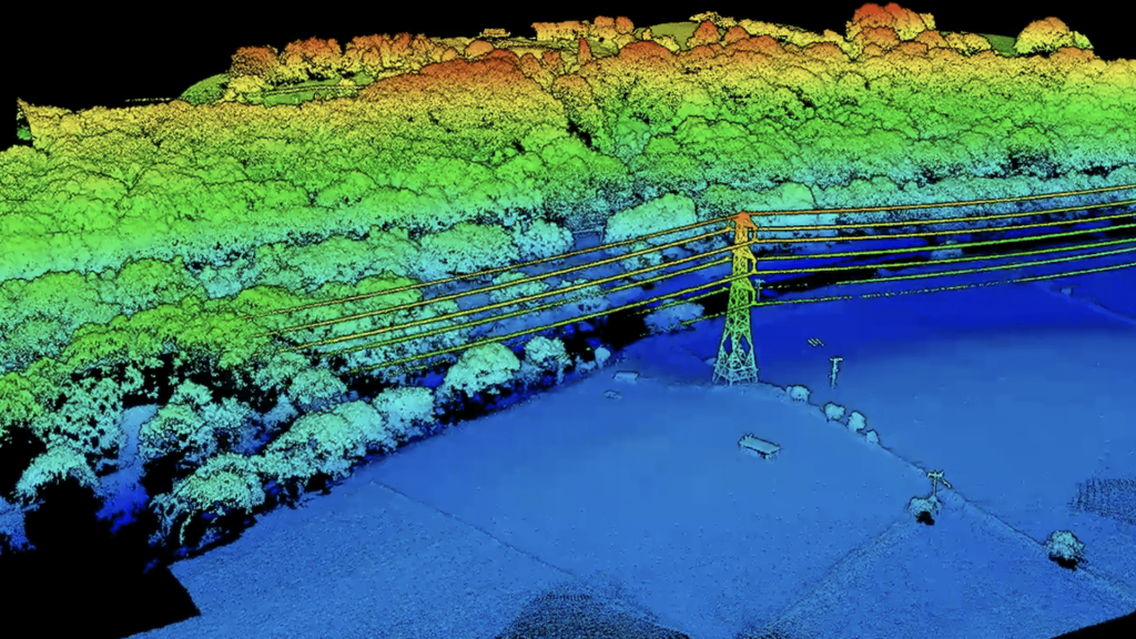
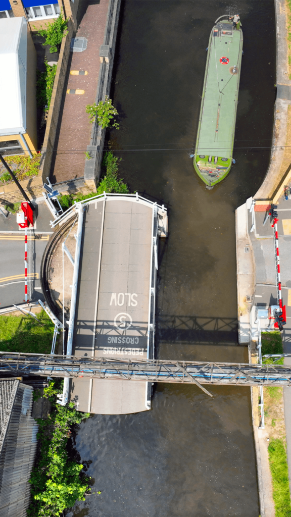
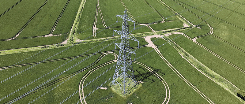
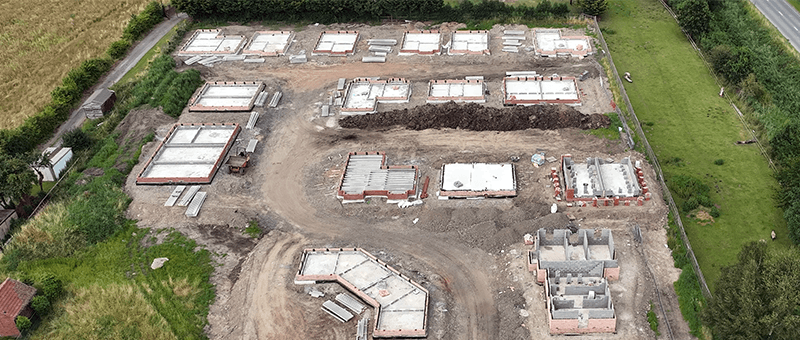
Aerial photogrammetry and LiDAR for large, live and hard-to-reach sites Drone Surveys by Matrix Advanced Surveying Our drone surveys capture accurate topographic and 3D data across sites that would take days to cover on foot. Using photogrammetry and LiDAR from our UAV fleet, we map land, structures and infrastructure quickly and safely, often without the […]
Point Cloud Surveys & 3D Laser Scanning
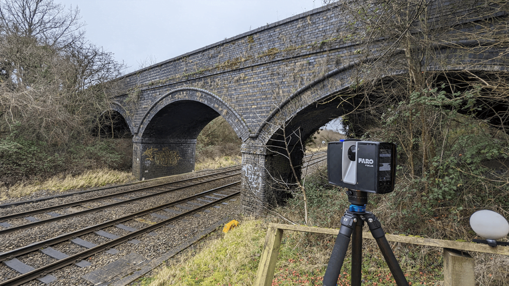
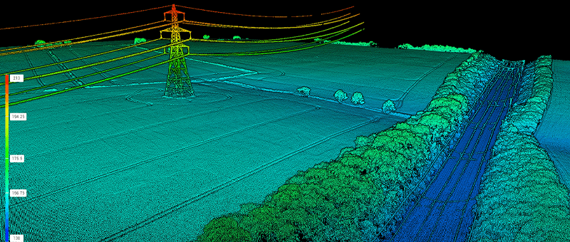
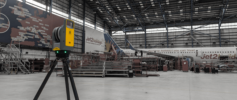
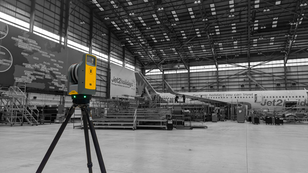
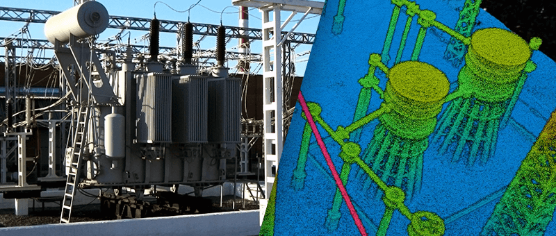
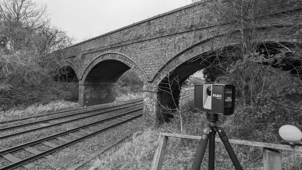
Point Cloud Surveys & 3D Laser Scanning 3D laser scanning and drone LiDAR captured as accurate, measured point clouds Point Cloud Surveys and 3D Laser Scanning A point cloud is a measured 3D record of a site or structure, made up of millions of individual points. We capture point clouds by 3D laser scanning with […]