Survey data turned into drawings and models your team can use
CAD & 3D Modelling
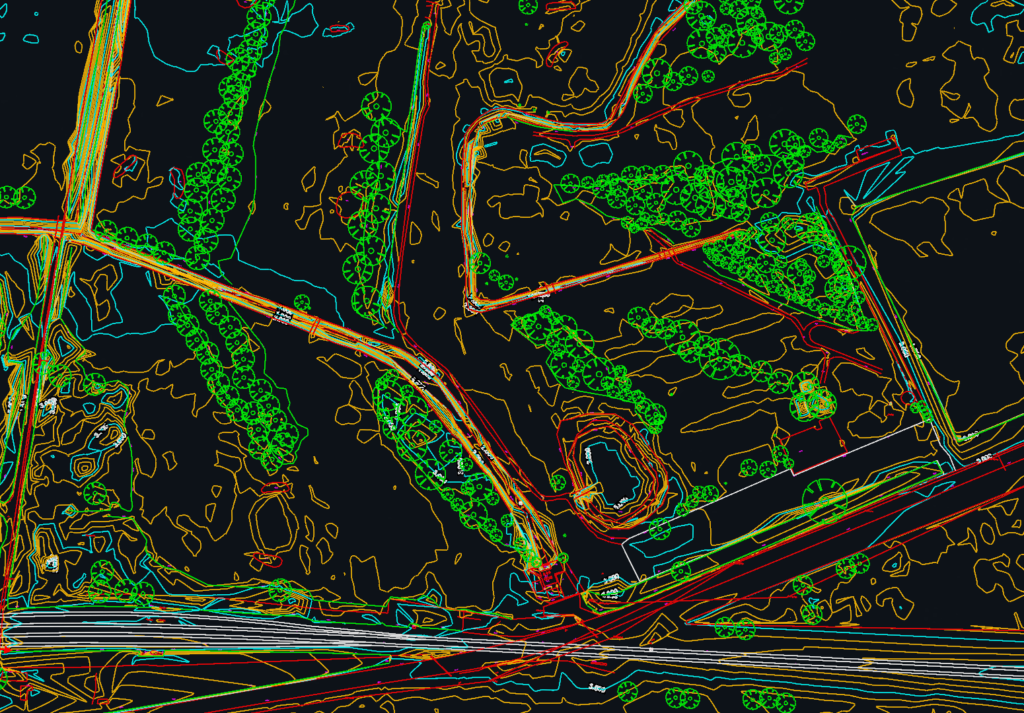
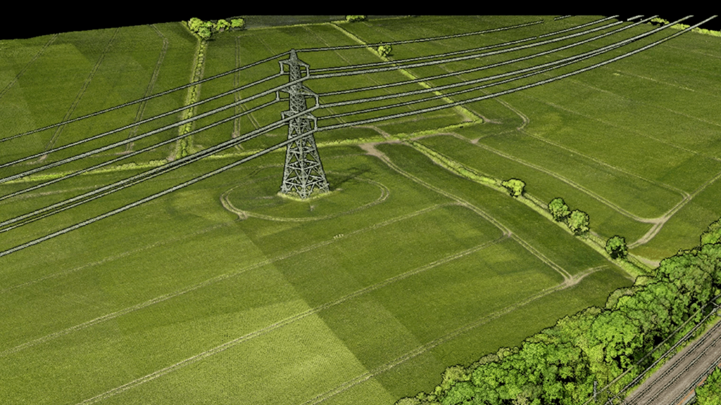
Every survey we carry out ends in a deliverable your design team can use straight away. We process field data into 2D CAD drawings, 3D surface and building models, and point clouds, and we can also turn existing point clouds or survey data into drawings and models.
We work in N4CE, Trimble Business Center, Trimble RealWorks, DJI Terra and DJI Modify, and deliver in standard formats that load directly into your CAD and design software.
Topographic plans, floor plans, elevations, sections and long sections, drawn to your layer and detail standard.
3D Models
Surface models, building and structure models, and ground models for design, volumes and visualisation.
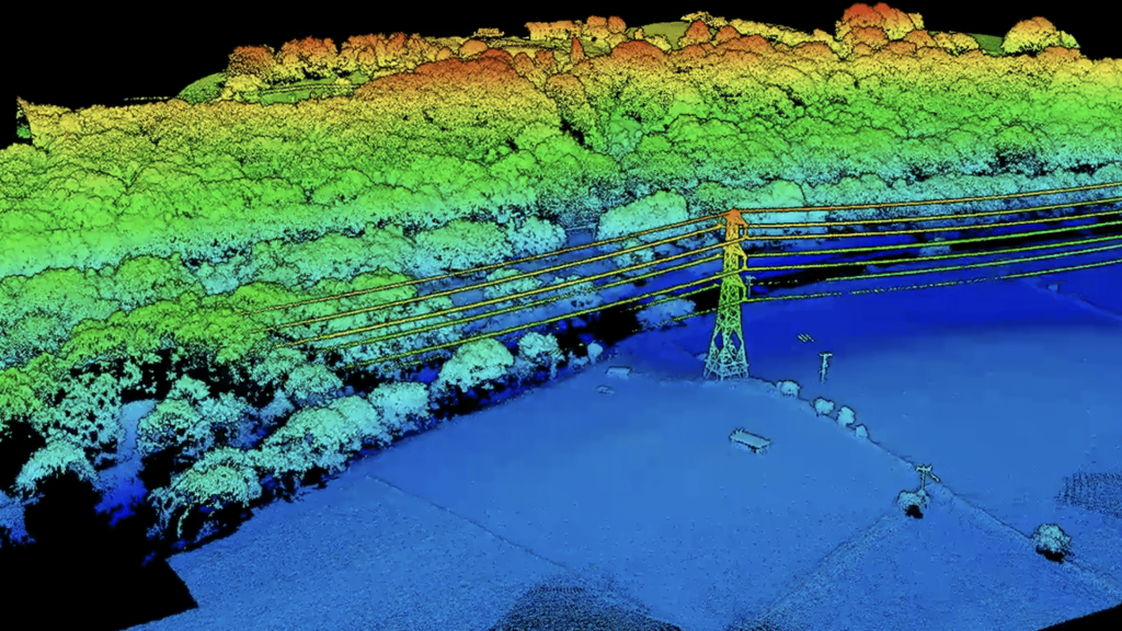
Point Clouds
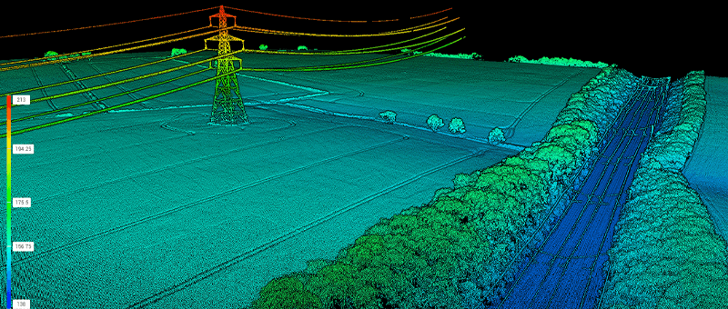
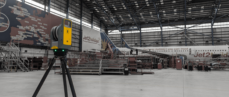
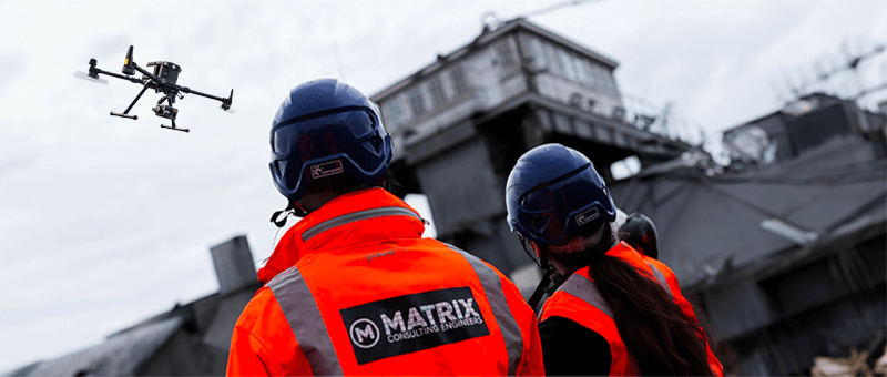
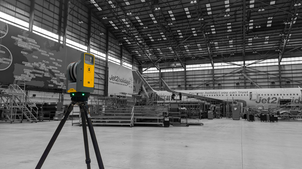
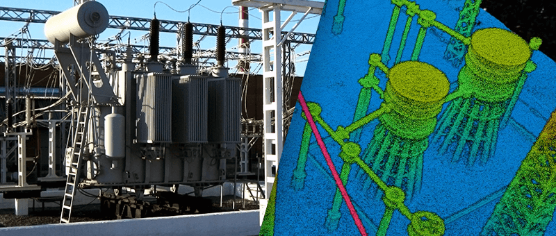
Registered, cleaned point clouds from laser scanning and drone LiDAR, ready to use in your own software.
From Survey to Drawing
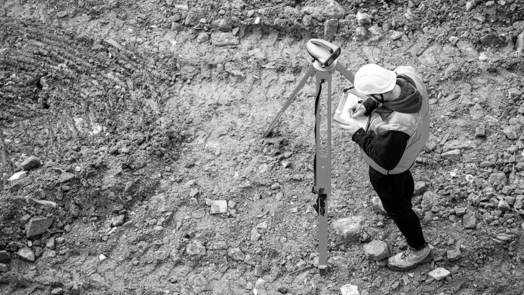
We agree the outputs you need before the survey starts, so data is captured with the drawings and models in mind. Field data is processed and checked against survey control, then drawn and modelled by our team.
You receive the drawings, models and point clouds in your preferred formats, along with the control and accuracy information behind them.
Why Choose Matrix Advanced Surveying for CAD & 3D Modelling?
Because we carry out the survey and produce the drawings ourselves, nothing is lost between the field and the final model. Our sister company, Matrix Consulting Engineers, can take the drawings and models straight into civil and structural design.
Drawn From Measured Data
Every line comes from checked survey data, not assumptions.
Your Drawing Standards
We draw to the layer, block and detail conventions your team uses.
Formats That Work
Deliverables in standard CAD, model and point cloud formats for your software.
Survey and Drawing in One
One team from field capture to final drawing, so questions are answered quickly.
Engineering Support
Direct access to the civil and structural engineers at Matrix Consulting Engineers.
READY TO START
YOUR NEW PROJECT?
Please fill in the form and we will get back to you as soon as possible to discuss your new project.