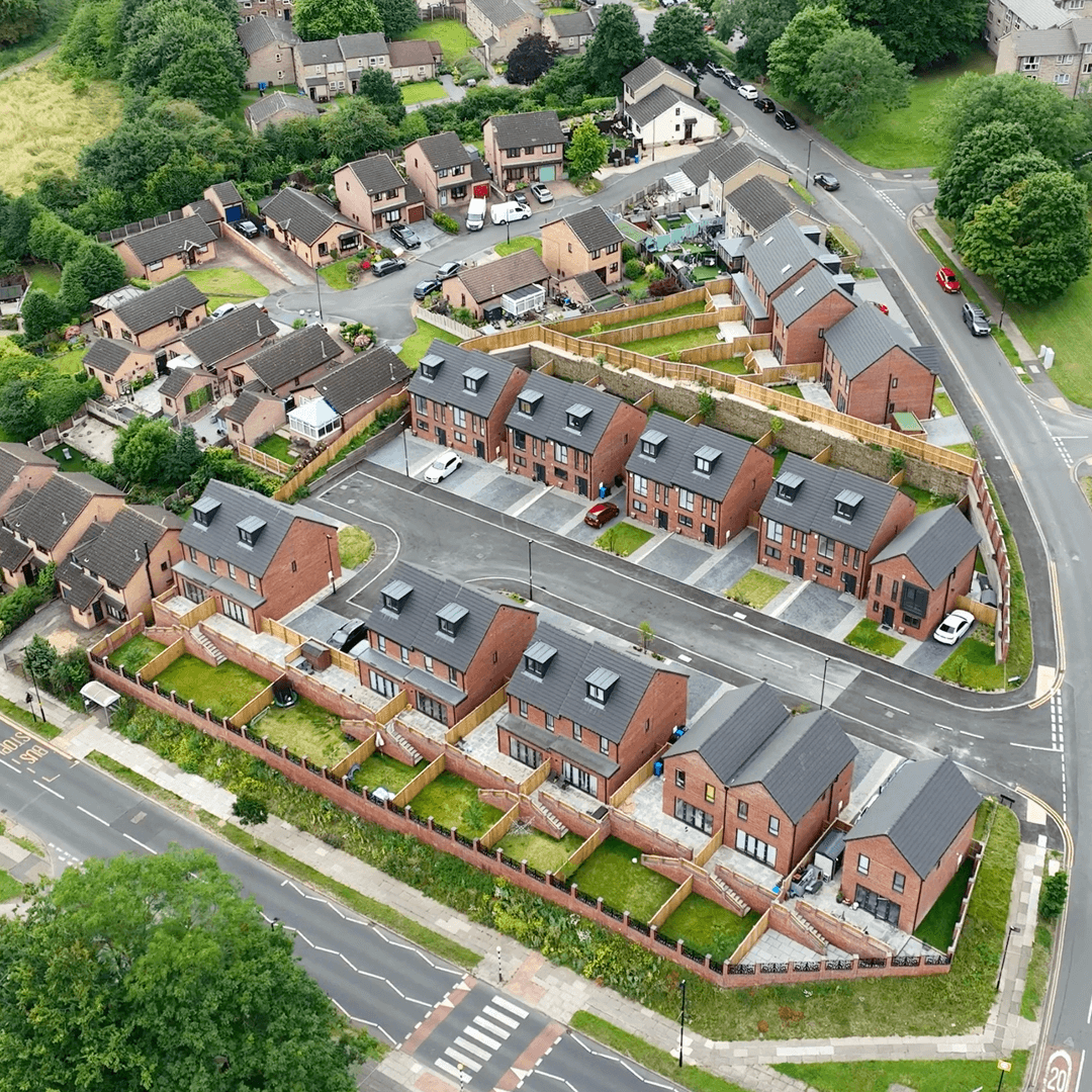
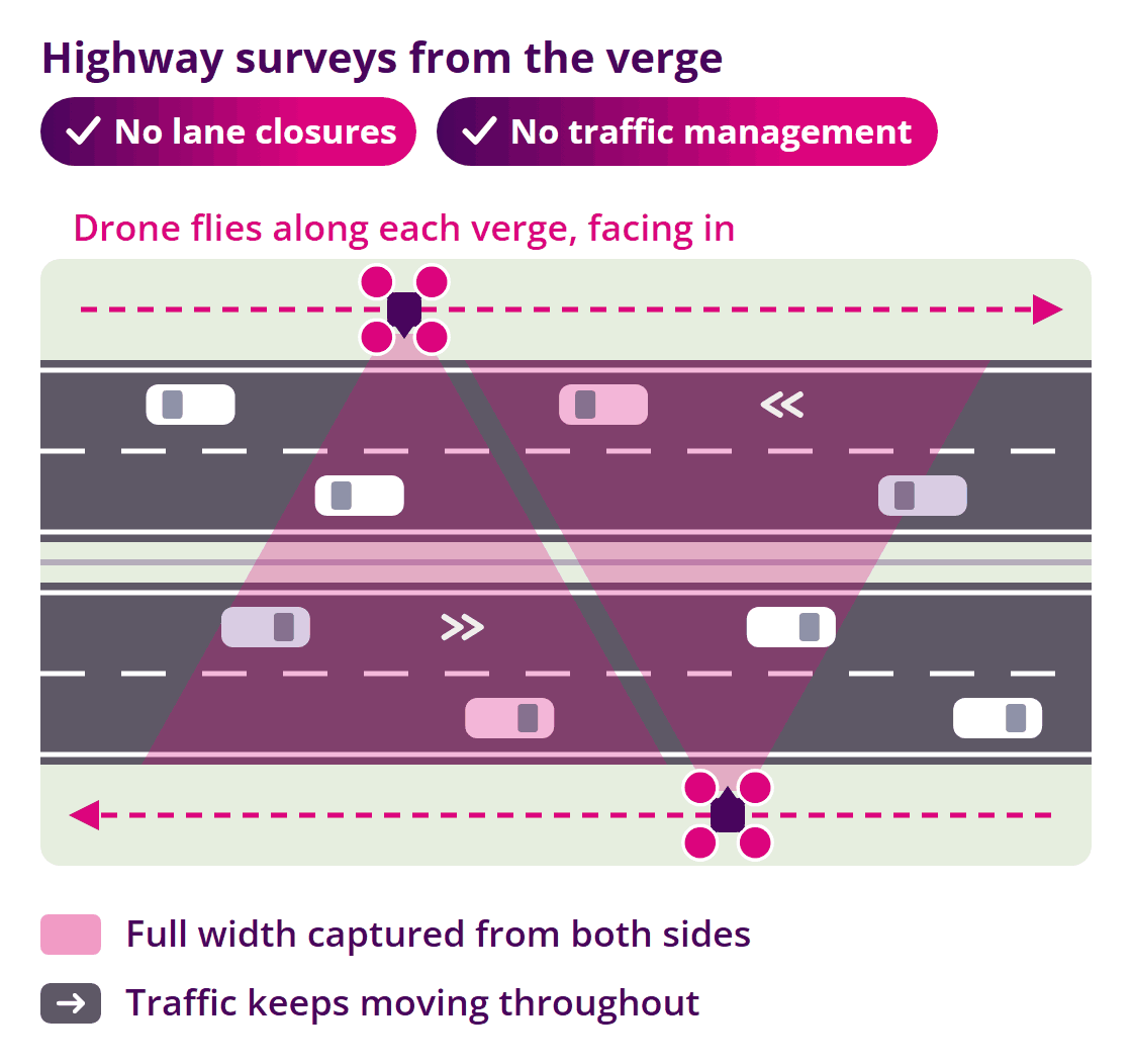
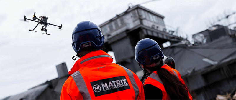
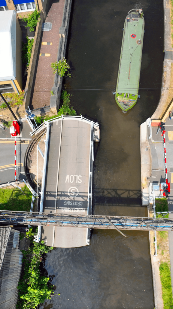
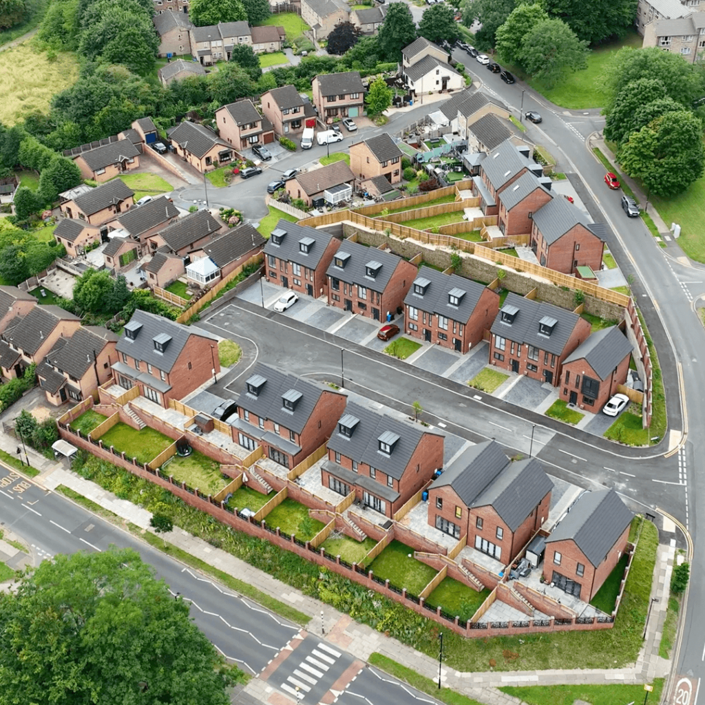
We survey road corridors, junctions, verges, embankments and highway structures for designers, contractors and asset owners. By flying our drones from beside the carriageway, facing in from each side, we capture the full width of the road while traffic keeps moving, with no need for lane closures or traffic management.
Challenges in Highway Surveying
Traditional highway surveys put surveyors close to live traffic and often need lane closures or traffic management, which add cost, require approvals and cause delays for road users. Night working adds further cost. Clients need accurate data on the road and its surroundings without the disruption.
How We Survey Highways
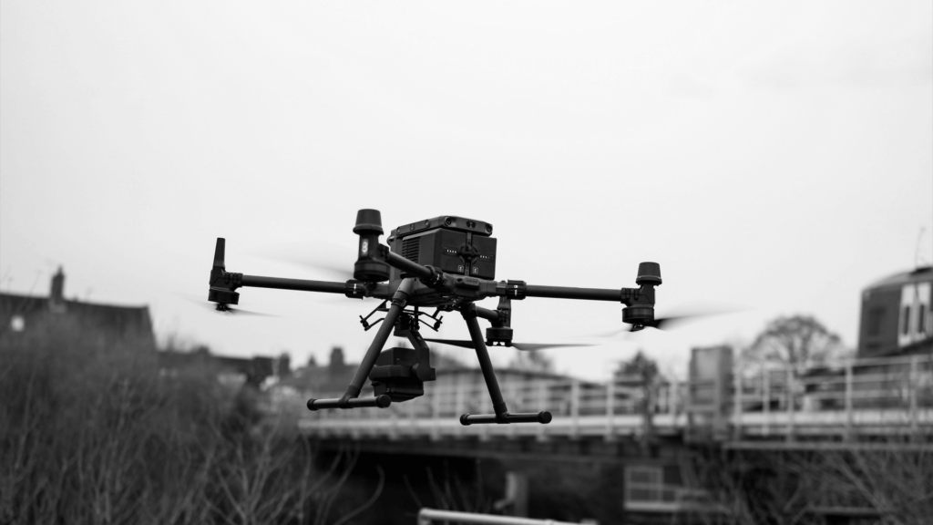
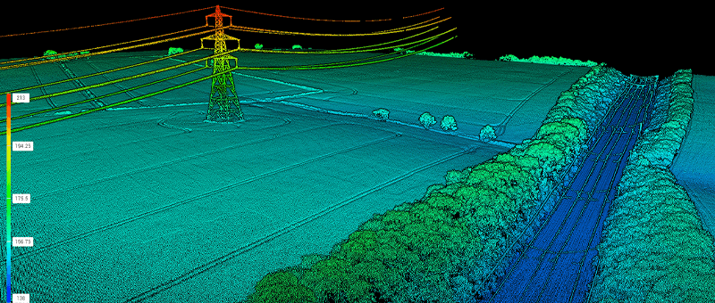
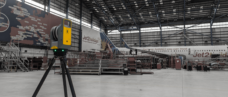
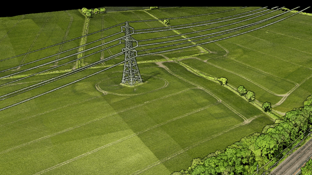
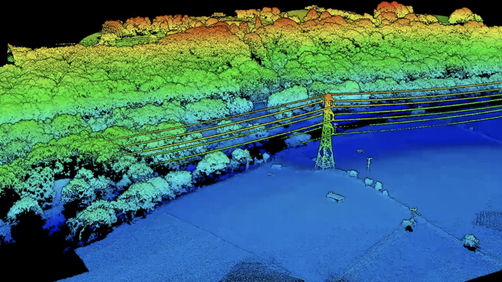
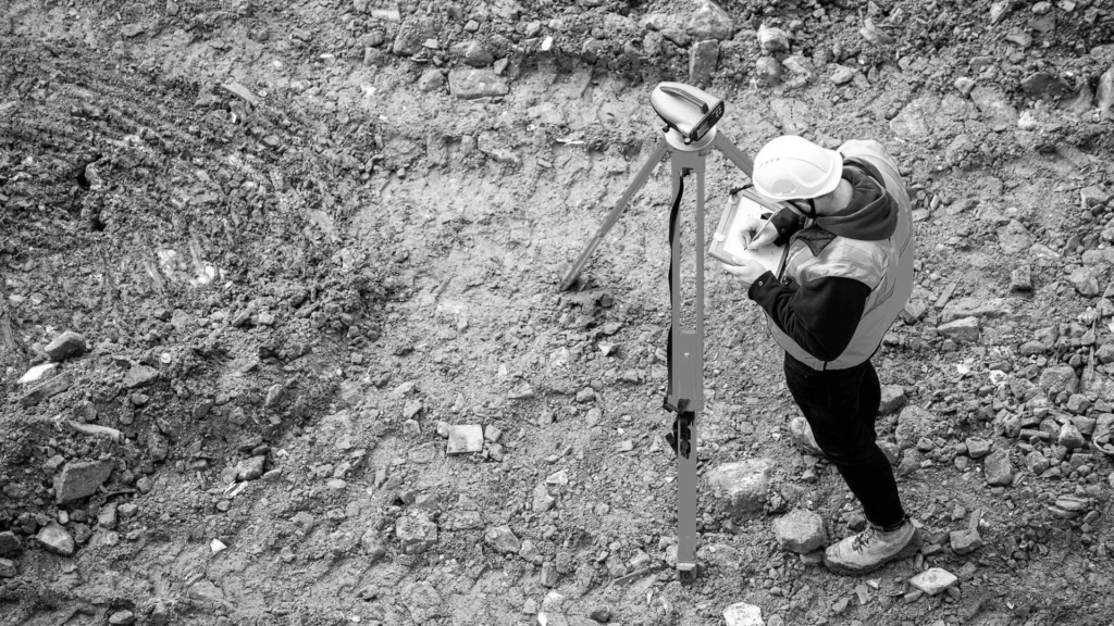
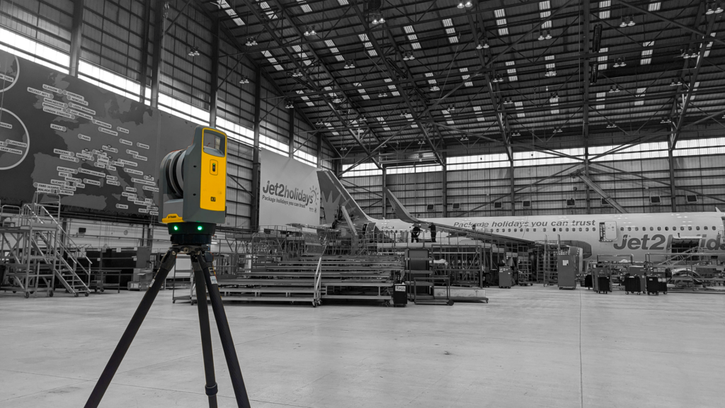
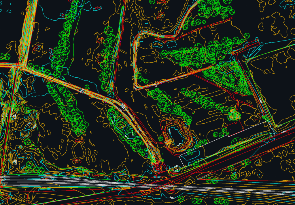
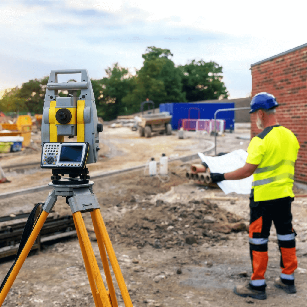
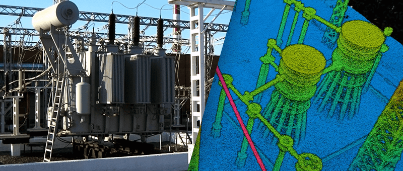
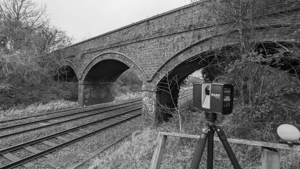
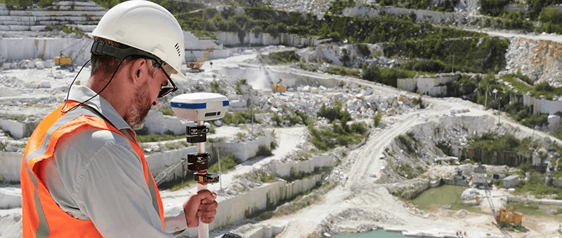
Drone photogrammetry and LiDAR capture the carriageway, kerbs, verges, drainage and structures from a safe position off the road. Surveys are tied to GNSS control, and where you need millimetre accuracy, such as for tie-ins or structure interfaces, we add total station survey on the ground. Data is delivered as point clouds, 3D models and 2D CAD.
Our Highway Survey Services
Topographical Survey
Levels, contours and road features measured with GNSS, total station and drone, delivered as CAD drawings and 3D models.
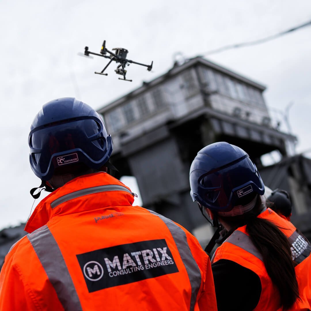
We keep our surveyors out of live traffic wherever we can and plan each survey around safety and minimal disruption. As sister company to Matrix Consulting Engineers, who design highways and drainage, we know exactly what designers need from a highway survey.
We invite you to discover the difference that Matrix Advanced Surveying can make for your project. Contact us today to learn more about our services and how we can help you navigate the complexities of modern surveying with confidence and expertise.