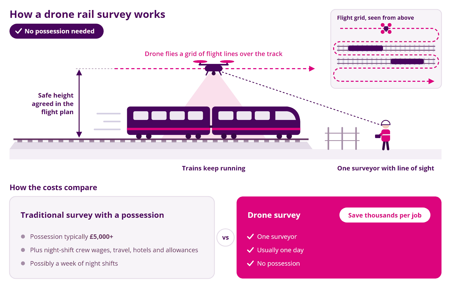
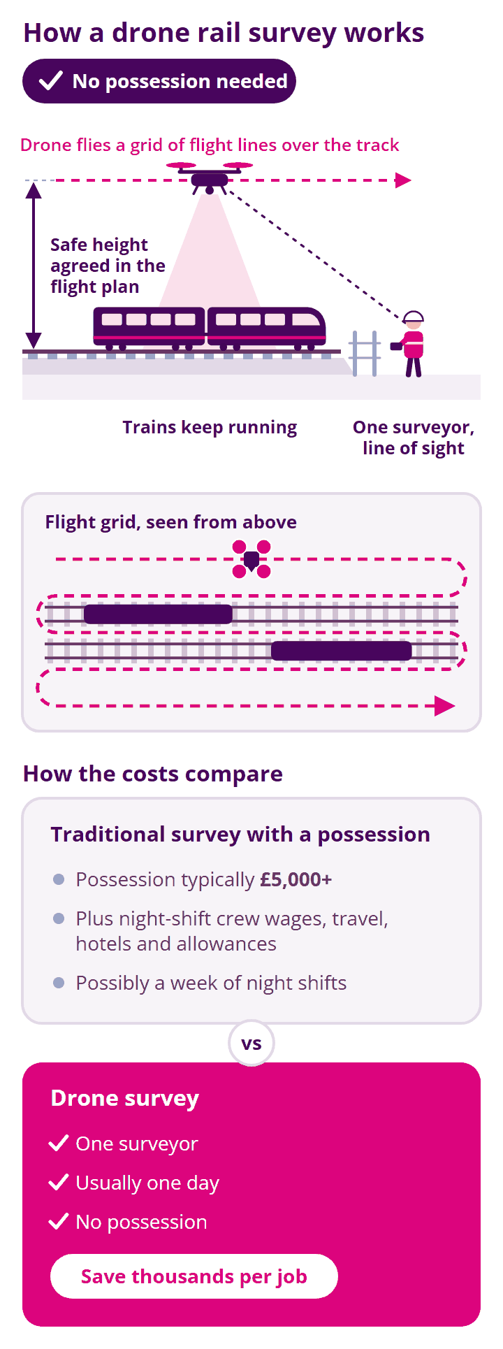
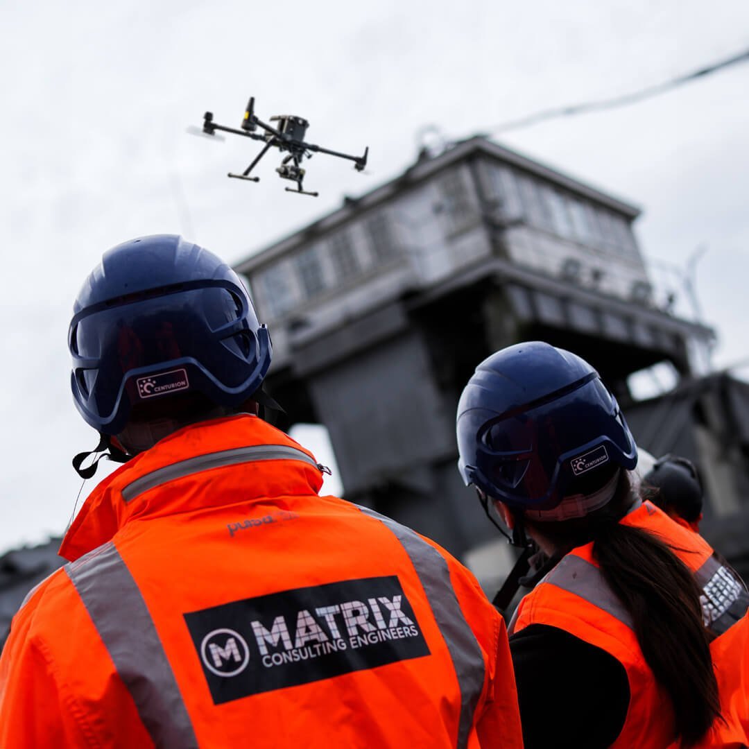
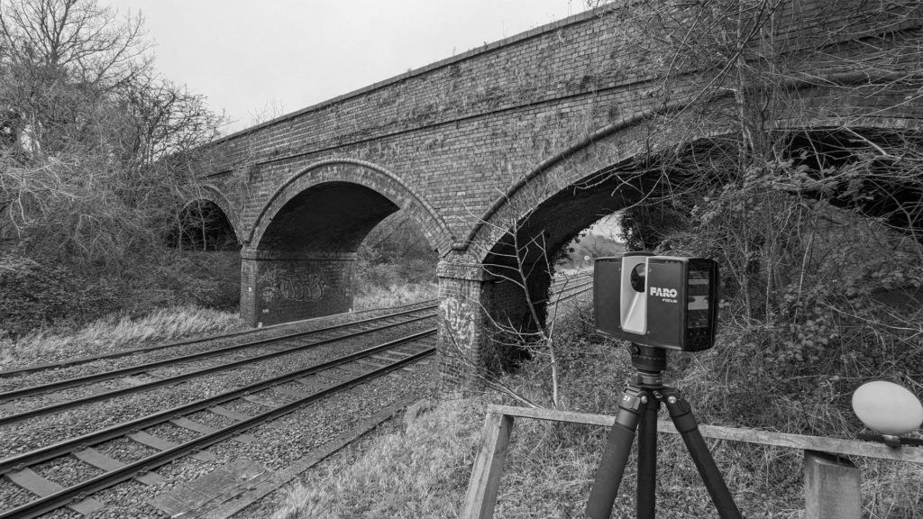
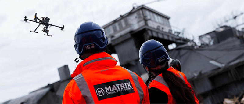
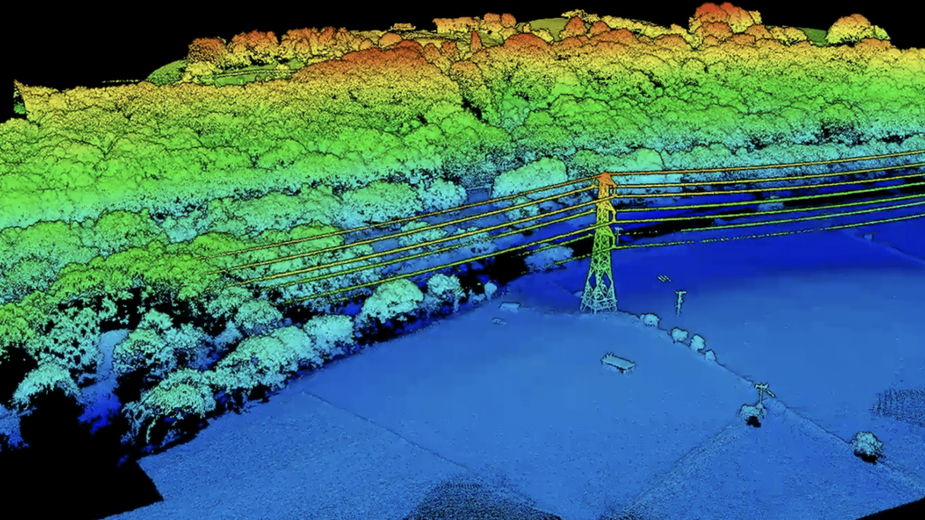
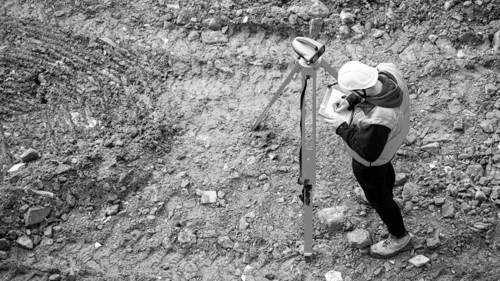
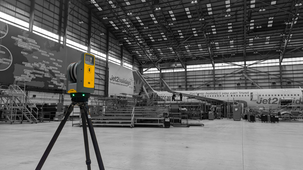
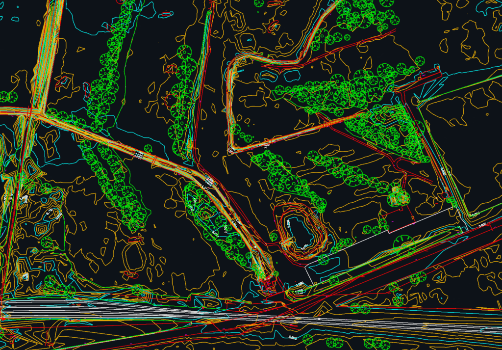
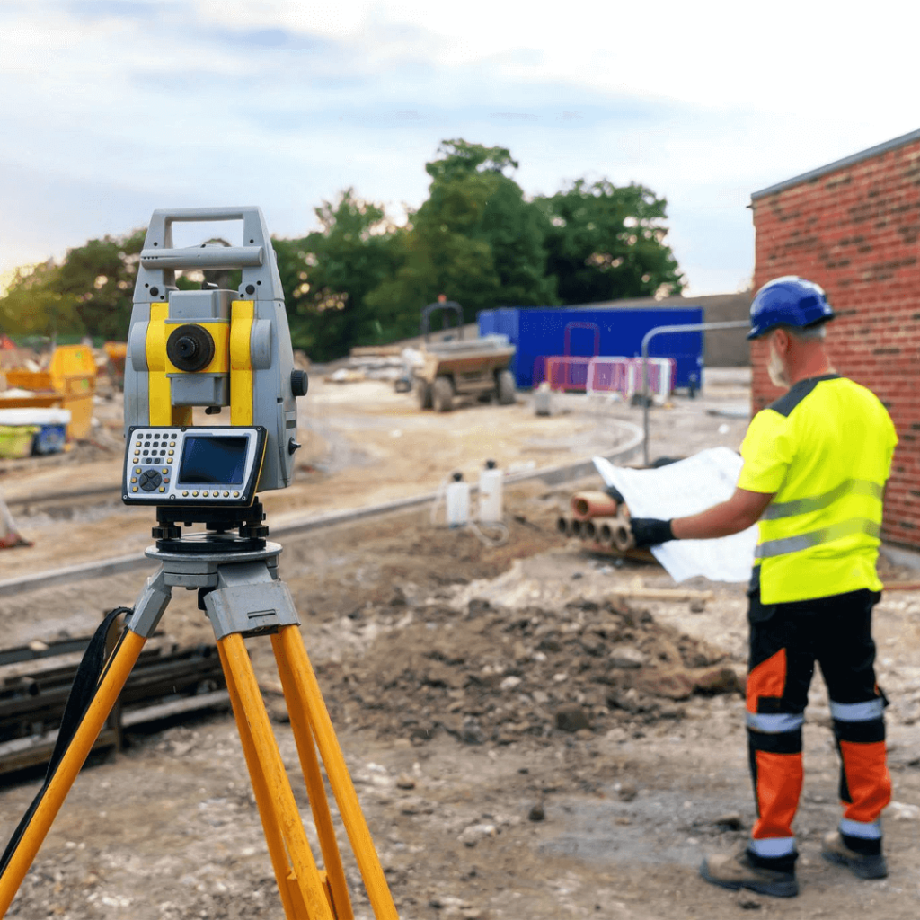
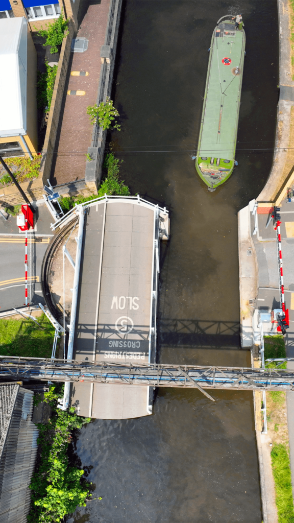
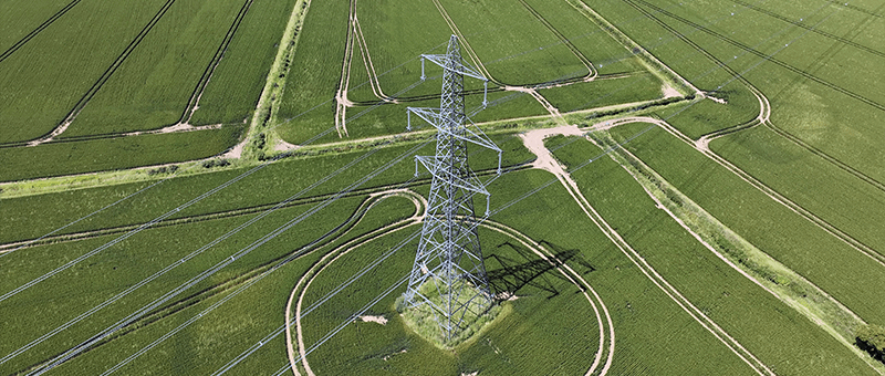
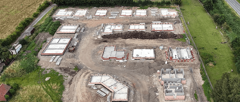
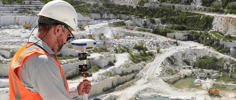
We survey embankments, cuttings, bridges, culverts and other railway assets for Network Rail contractors and engineers. Our drone surveys can capture the line while trains are running, flying at a safe height agreed in the flight plan, so there is often no need to book a possession. Where you need millimetre accuracy, our PTS-holding surveyors work on the ground with GNSS and total station.
The Cost of a Possession
A large part of the cost of a traditional rail survey is the possession. Booking one from Network Rail typically costs £5,000 or more, and that is before crew wages, night and weekend rates, travel, hotels and allowances. The survey itself might take a week of night shifts.
A drone survey can often capture the same asset in a day with a single surveyor, saving thousands of pounds per job and avoiding disruption to passengers and freight.
The Right Accuracy for the Job
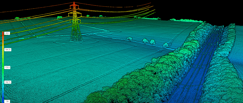
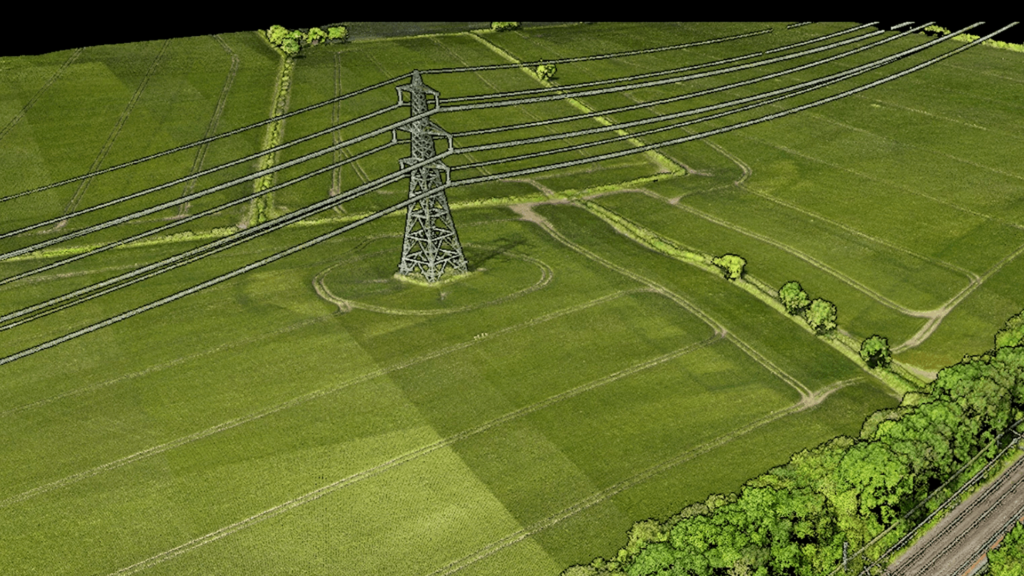
Drone data is not as precise as a surveyor on the ground with a total station, but most rail jobs do not need it to be. If an embankment is unstable and needs reprofiling, if you need an asset record, or if a bridge needs inspecting, drone photogrammetry and LiDAR give you everything you need.
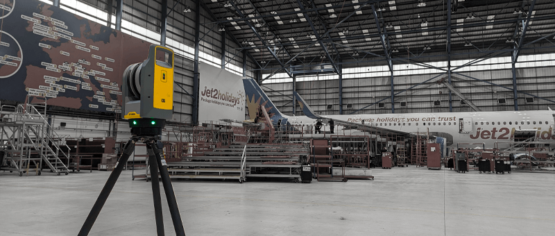
When the job does call for 1 to 5 mm accuracy, for example at track interfaces or structural connections, we add ground survey to the same dataset.
Our Rail Survey Services
Structural Inspection
Inspection of railway bridges, culverts and structures, with defects recorded for engineers to assess.
Rail is a large part of our work. Our surveyors hold PTS and CSCS cards and are confined space trained for culverts and tunnels, and we understand the access, safety and planning that working on the railway involves. Our sister company, Matrix Consulting Engineers, inspects and designs railway bridges and earthworks, so survey data goes straight into assessment and design.
We invite you to discover the difference that Matrix Advanced Surveying can make for your project. Contact us today to learn more about our services and how we can help you navigate the complexities of modern surveying with confidence and expertise.