


Our Sectors
Surveys tailored to the industries we work in
Surveying for Every Sector
Every sector has its own access rules, safety requirements and accuracy needs. We tailor our surveys to suit, combining ground survey, laser scanning and drone technology so you get the data you need with as little disruption as possible.
Agriculture
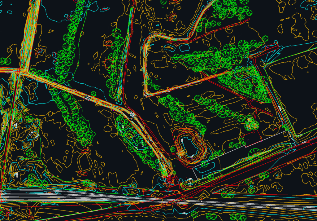
Mapping, levels and boundary surveys for farms, estates and agricultural land, supporting drainage, building and planning projects.
Property Management
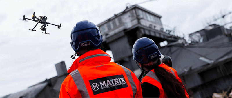
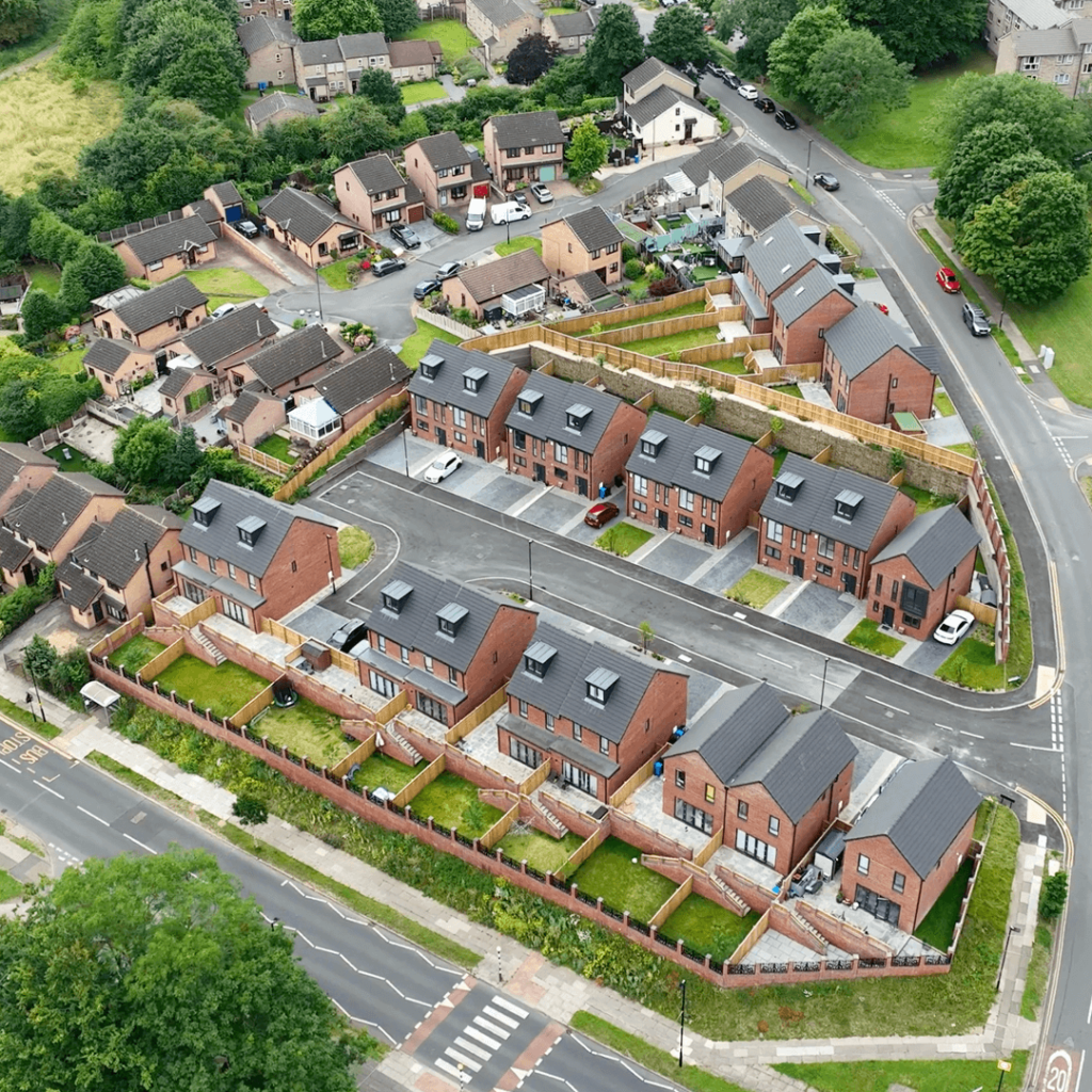
Measured surveys, roof and building inspections and aerial imagery for property owners, managers and developers.
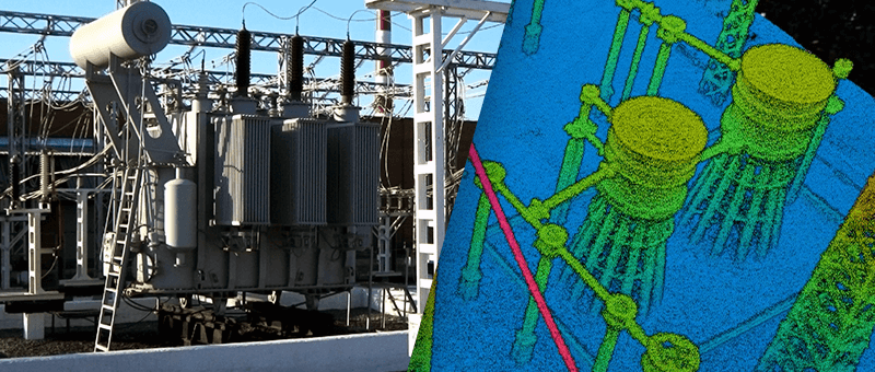
Energy & Power
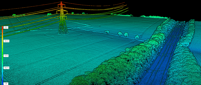
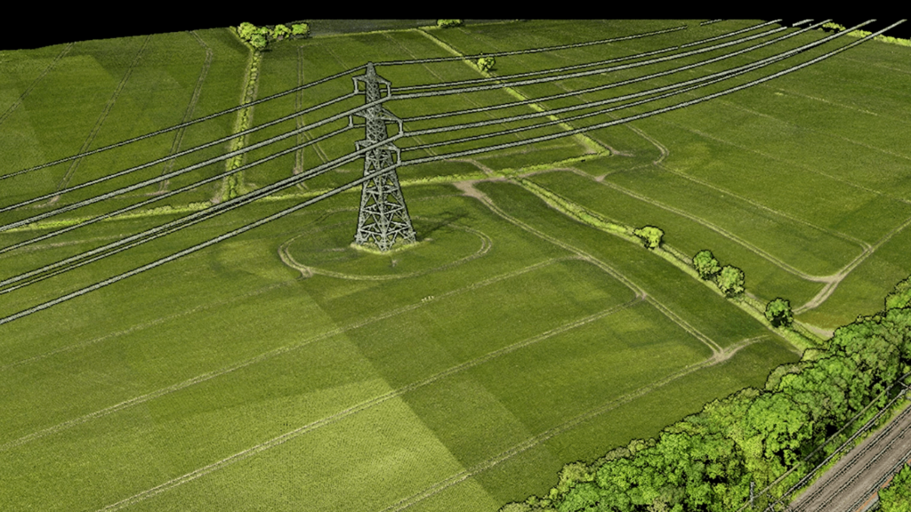
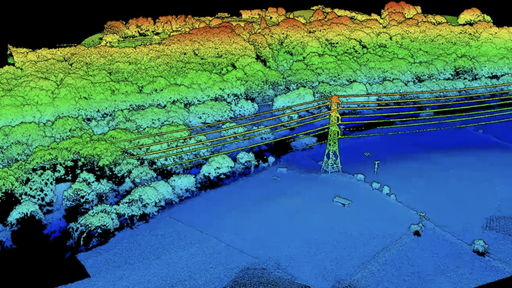
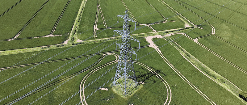
Surveys of substations, line routes and renewable energy sites for design, construction and asset management.
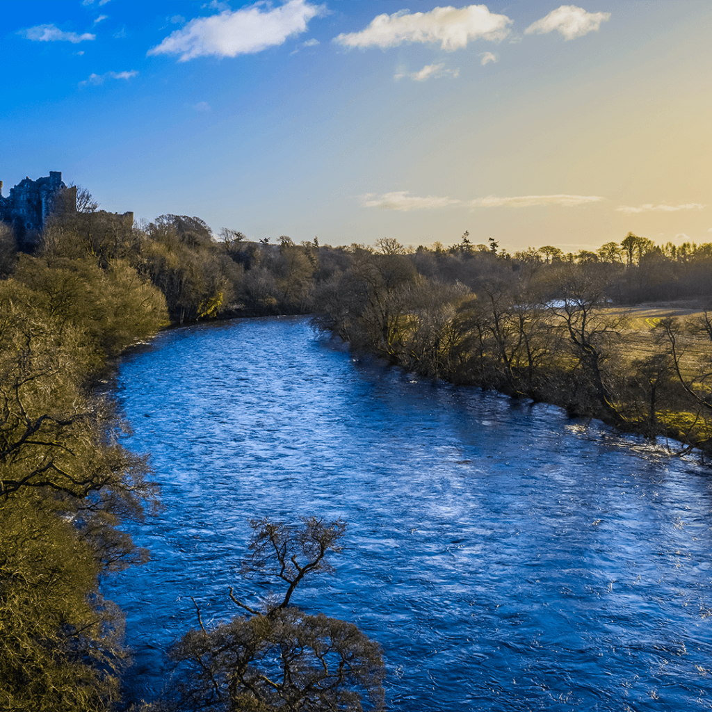
Environmental
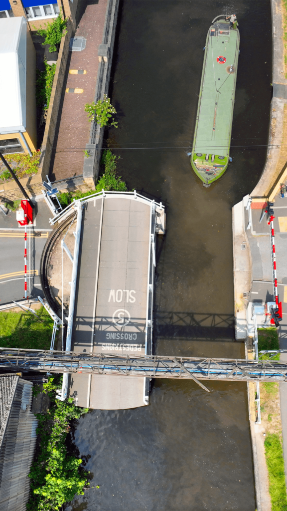
Non-intrusive surveys of sensitive sites, riverbanks and embankments, with repeat surveys to track change over time.
Mining & Quarrying
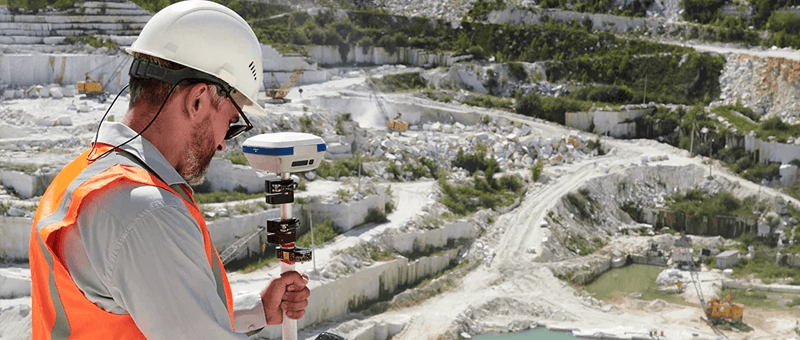
Topographic surveys, stockpile volumes and face surveys for mines and quarries, captured safely from the air.
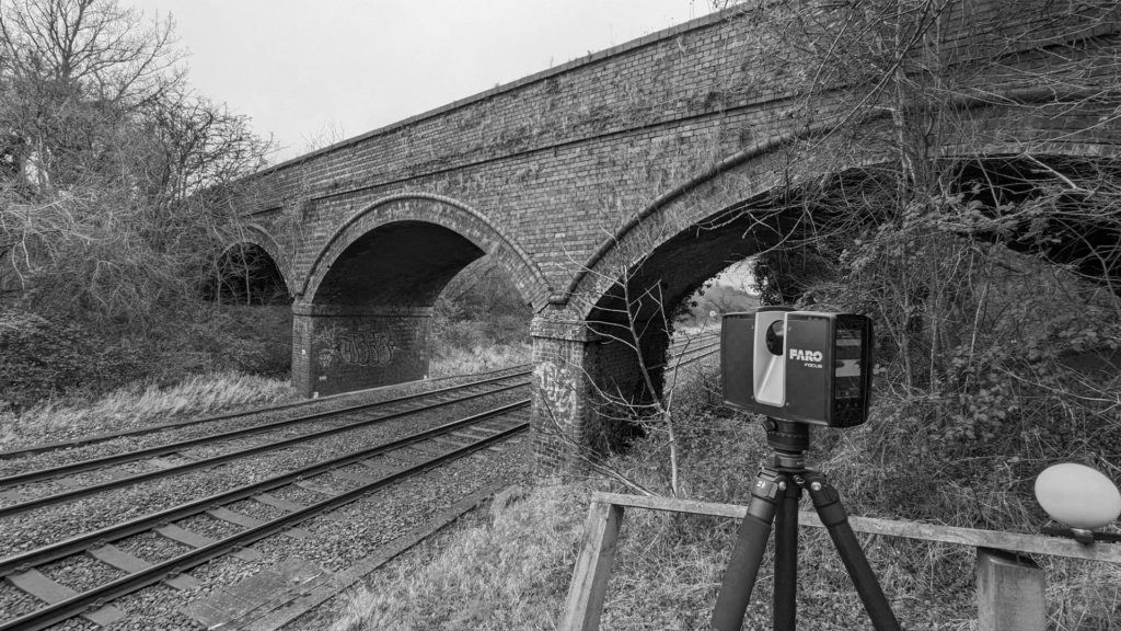
Rail
Embankments, cuttings, bridges and structures surveyed by PTS-holding surveyors, often without the need for a possession.
Maritime & Coastal
Drone and LiDAR surveys of coastlines, cliffs and sea defences for erosion monitoring and coastal management.
Heritage & Conservation
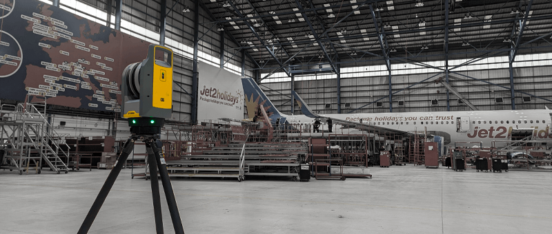
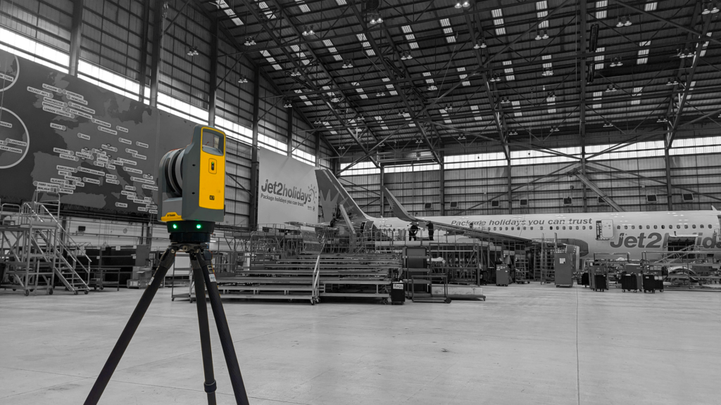
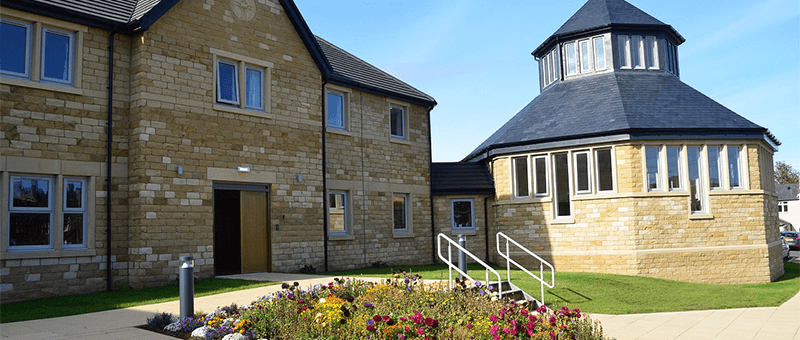
Non-intrusive laser scanning and drone surveys that record historic and listed buildings without touching the fabric.
Defence
Discreet topographic, laser scanning and structural surveys for defence sites and estates, with project details kept confidential.
Highways
Road corridors, junctions and highway structures captured from beside the carriageway, without lane closures.
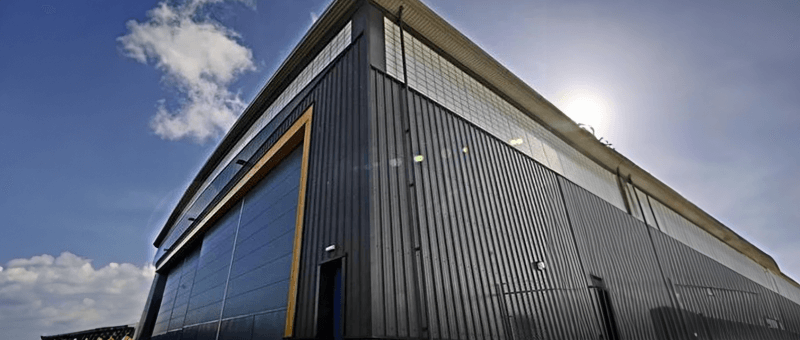
Construction
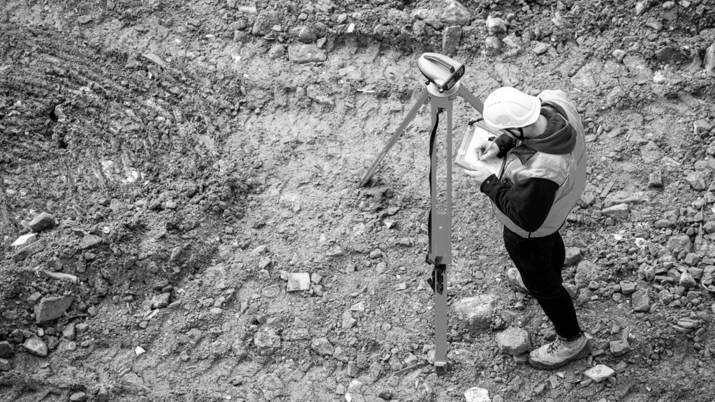
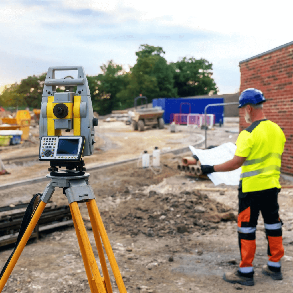
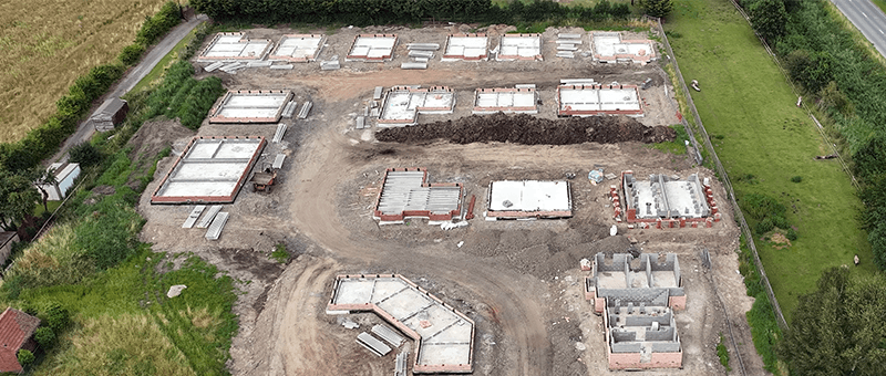
Topographic, progress, volume and as-built surveys for every stage of a construction project.