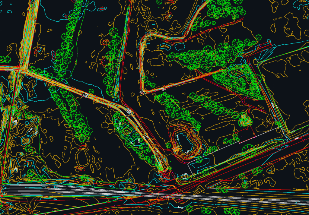
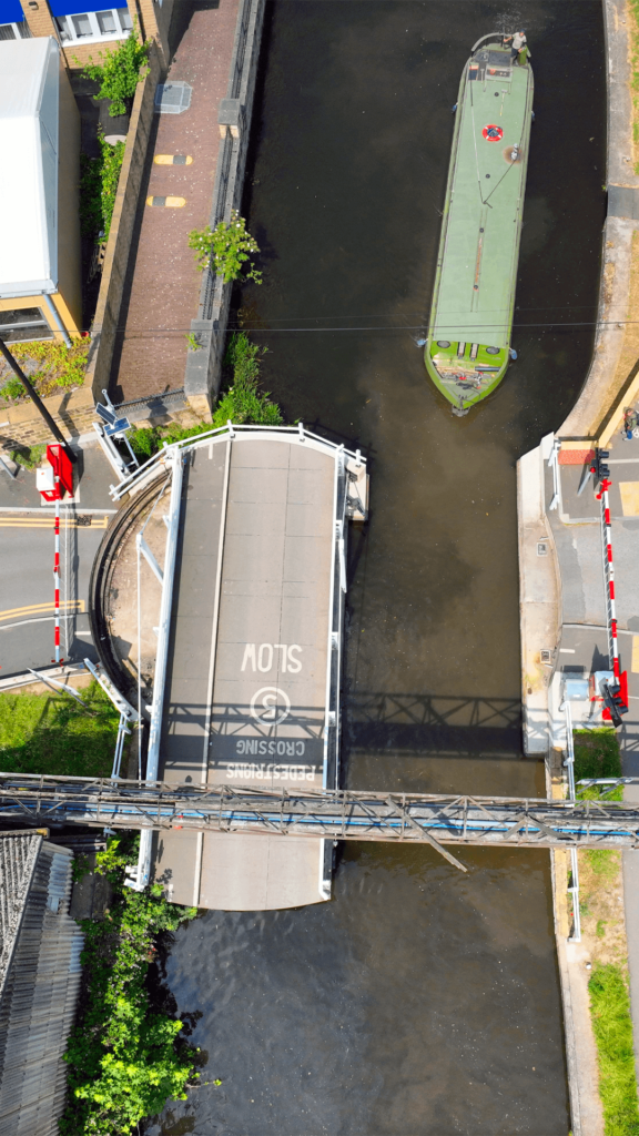
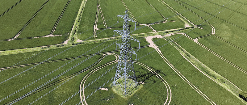
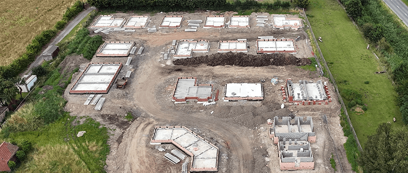
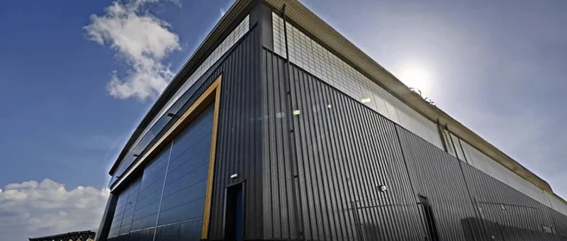
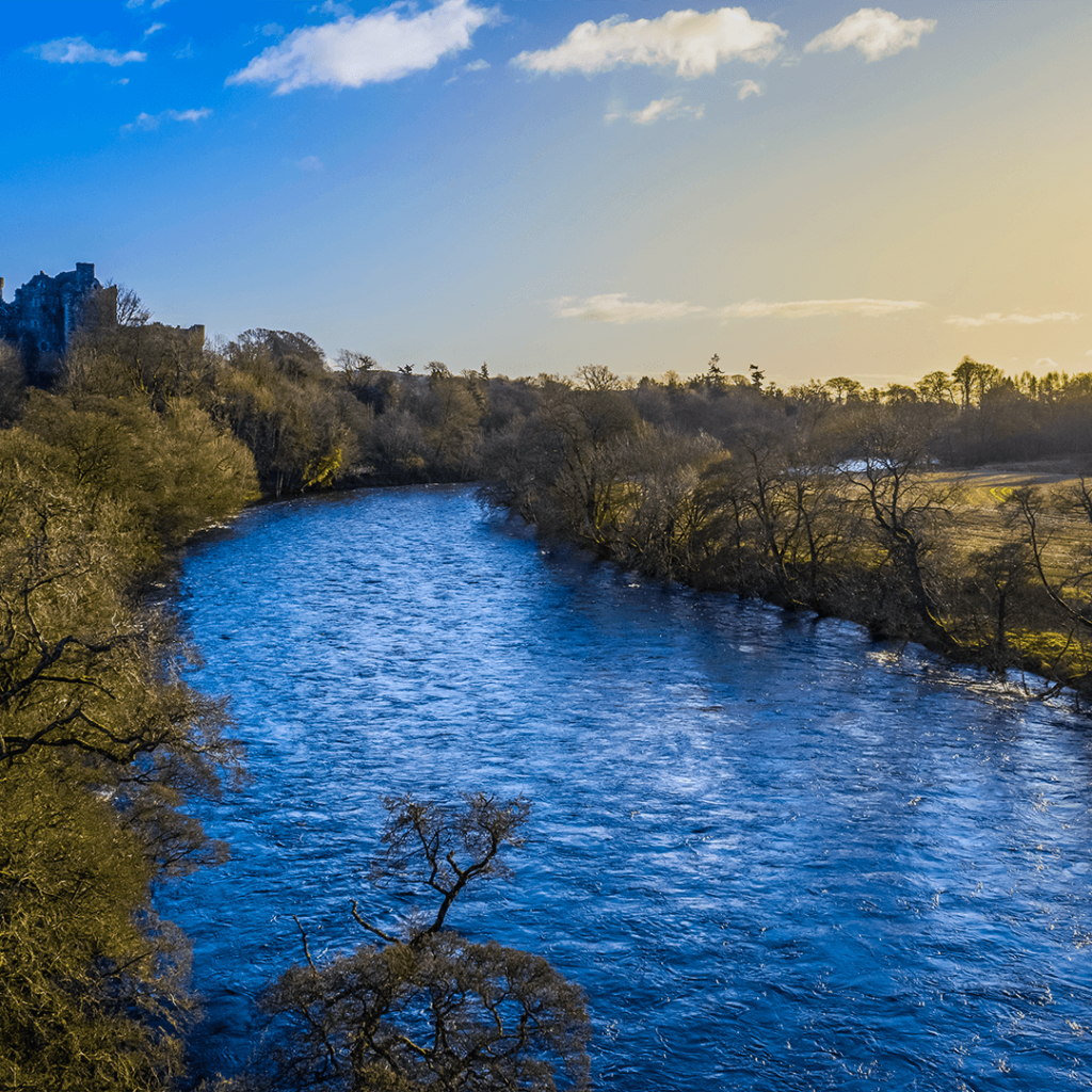
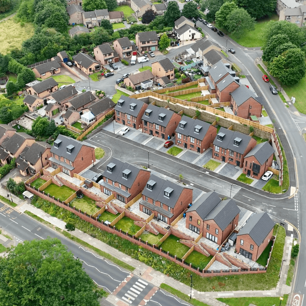
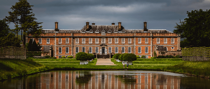
Our agriculture surveys give farmers, estates and land agents accurate maps and data about their land. We map fields and holdings by drone and survey boundaries, levels and features on the ground, supporting drainage and irrigation planning, land levelling, farm building and yard projects, and planning applications.
Farms and estates cover large areas, and walking every field to measure it is slow and costly. Accurate levels, boundaries and areas are essential for drainage schemes, new buildings and planning, but they are often out of date or missing altogether.
Survey Technology for Agriculture
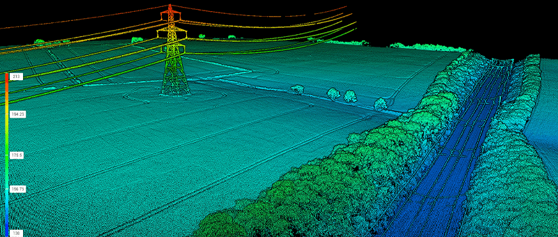
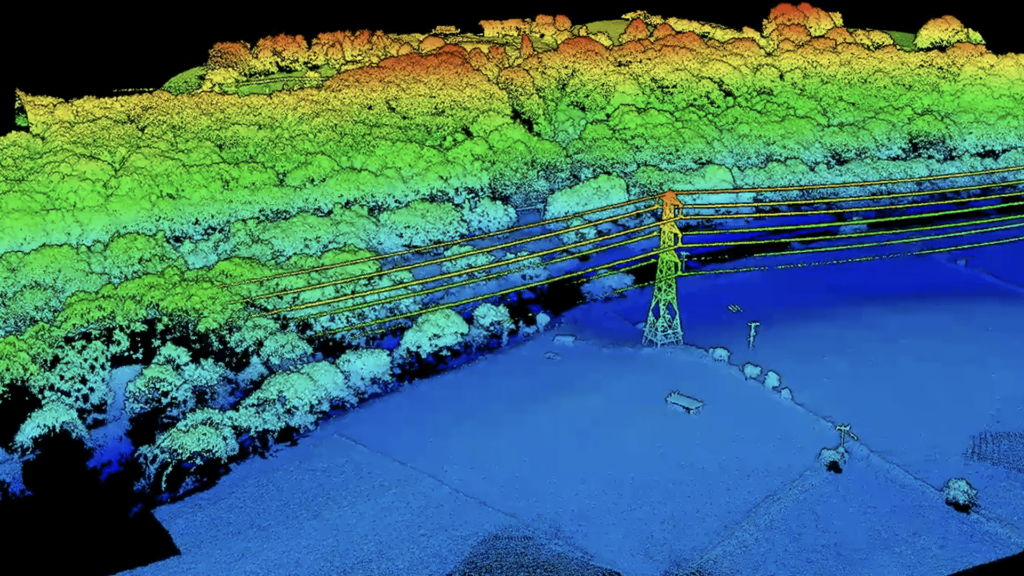
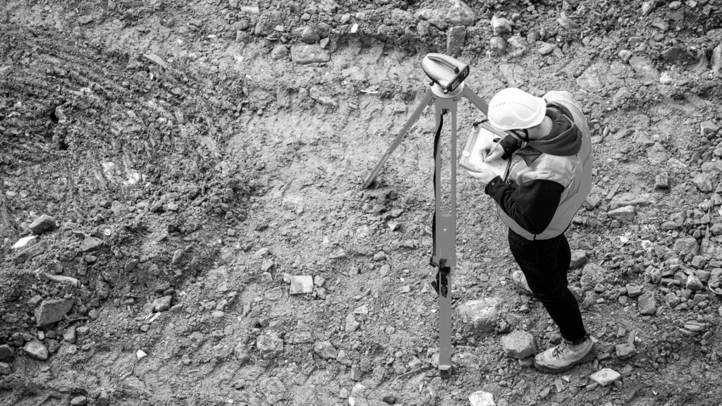
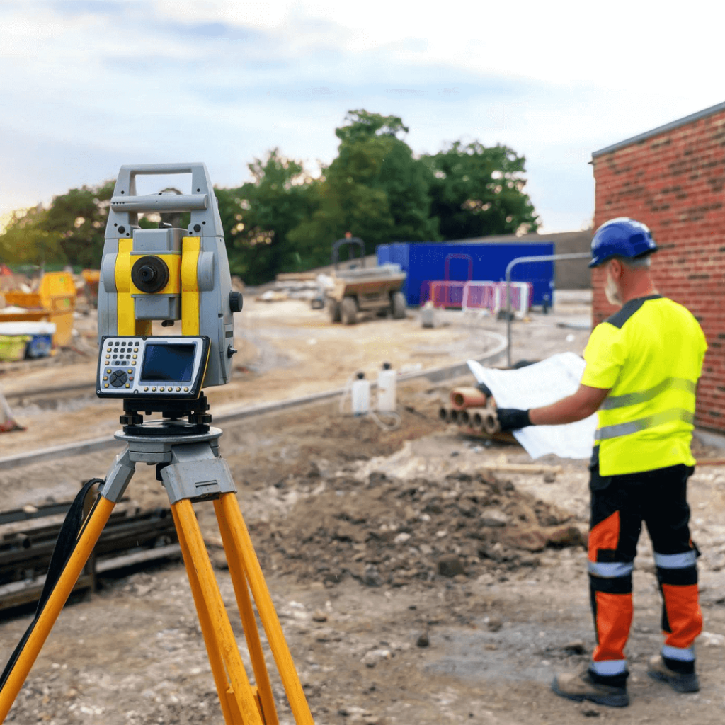
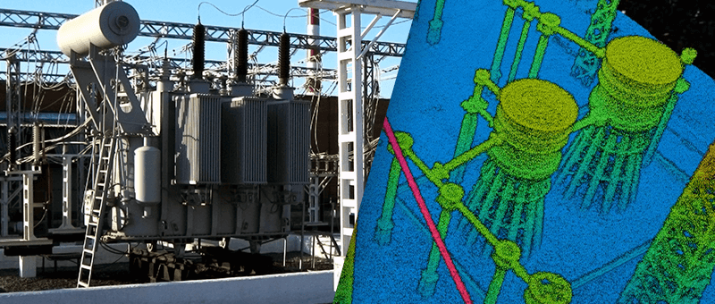
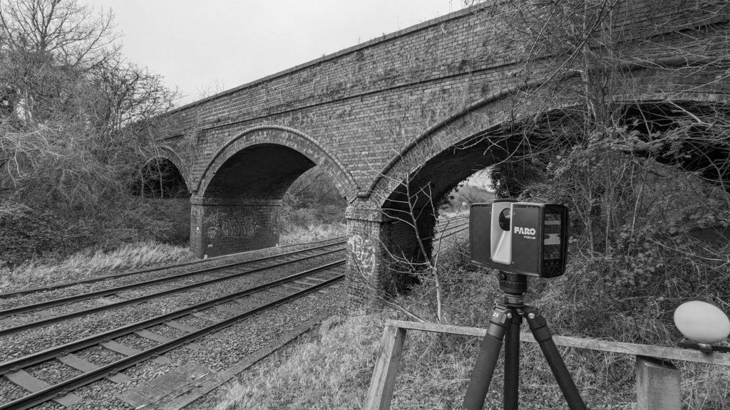
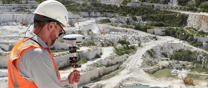
Drones let us map an entire holding quickly, producing orthophotos, contours and surface models without disturbing livestock or crops, and LiDAR can see through hedges and woodland to the ground below. For detail that needs to be precise, such as building plots, yards and drainage falls, we use GNSS and total station on the ground.
Our Surveys for Agriculture
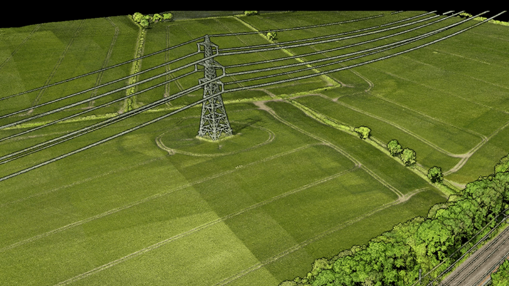
Photogrammetry Survey
Accurate 3D models and orthophotos of fields and holdings, built from overlapping drone imagery.
We deliver clear, practical data that you, your agent or your contractor can use straight away. If your project needs design work, such as field drainage, access tracks or a new agricultural building, our sister company Matrix Consulting Engineers can take it on from the same survey.
We invite you to discover the difference that Matrix Advanced Surveying can make for your project. Contact us today to learn more about our services and how we can help you navigate the complexities of modern surveying with confidence and expertise.