Surveys for substations, power infrastructure and renewable energy sites
Energy & Power Surveys
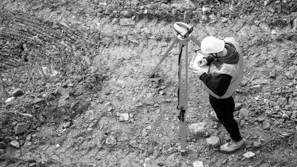
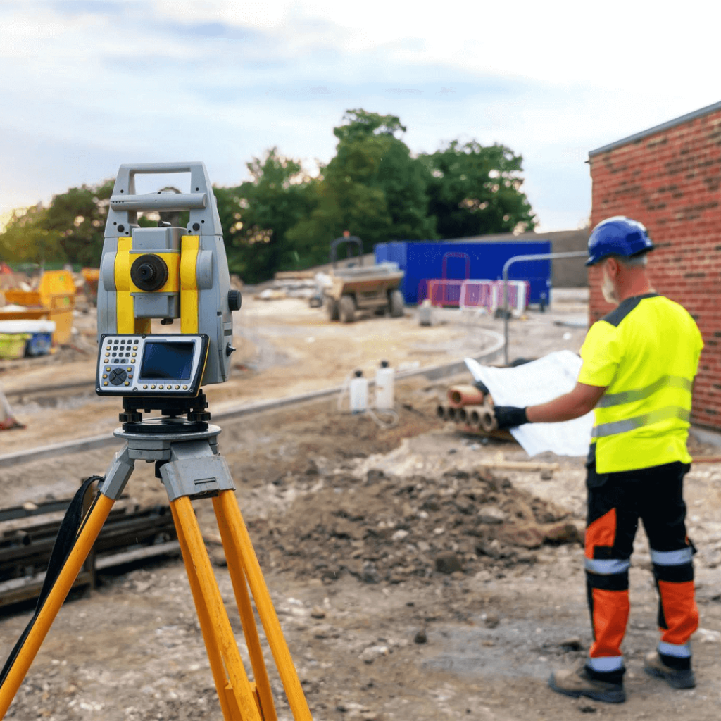
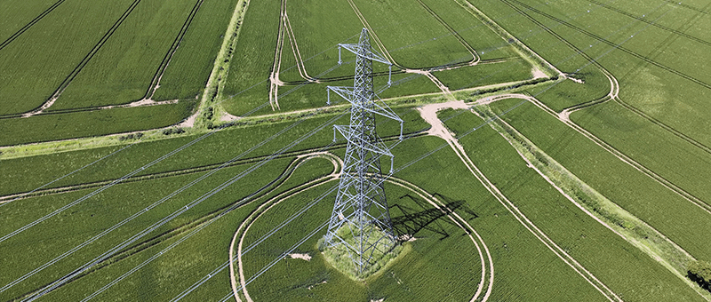
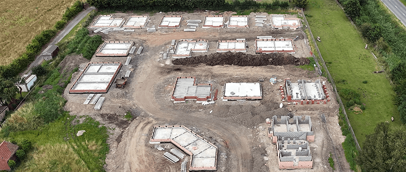
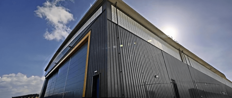
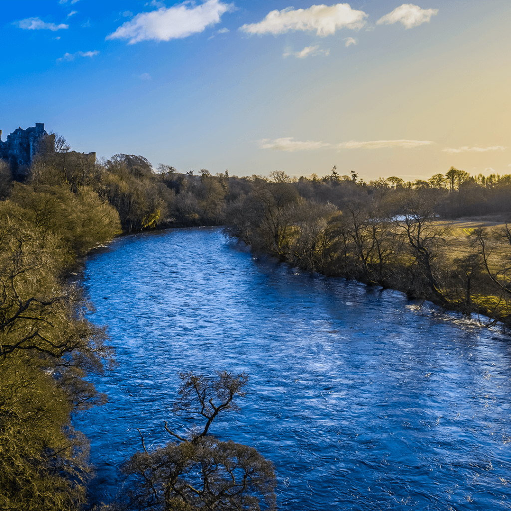
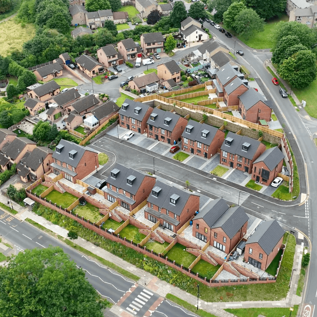
We survey substations, overhead line routes, cable corridors and renewable energy sites, providing the topographic, structural and 3D data needed for design, construction and asset management. Drone surveys cover large sites and long routes quickly, while GNSS and total station surveys give the high accuracy needed for foundations, plant and connections.
Energy sites are often large, remote or live, with strict access and safety rules. Shutting down equipment or arranging escorted access for long periods is costly. Surveys need to capture a lot of detail quickly, without getting in the way of operations.
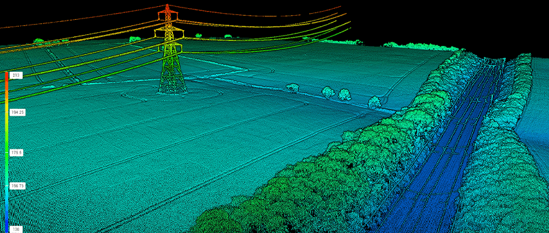
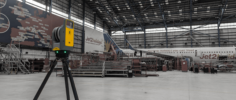
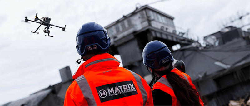
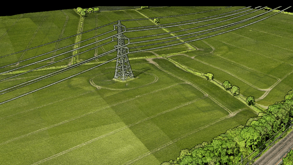
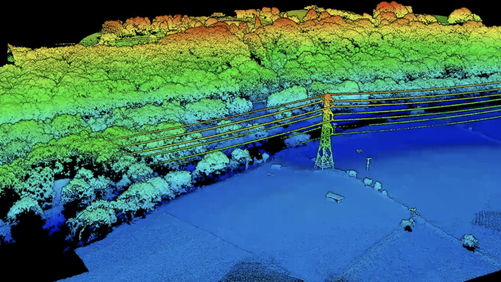
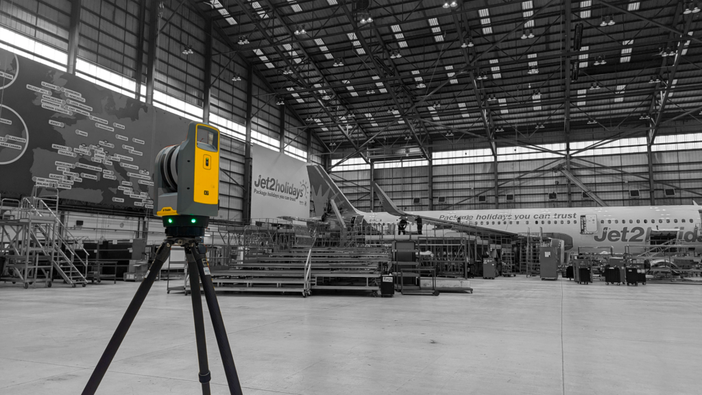
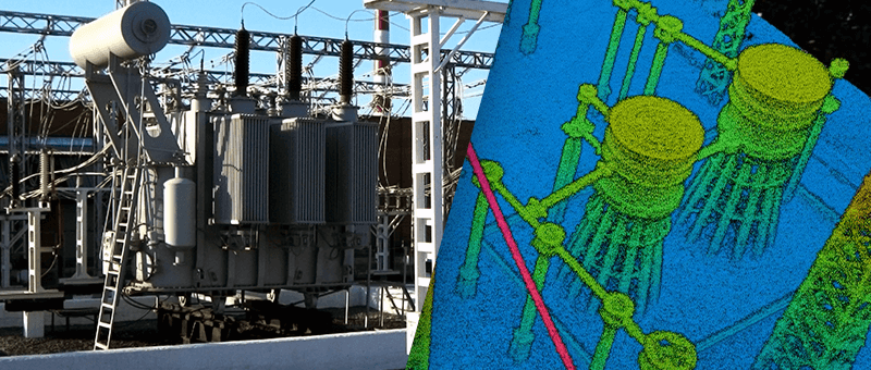
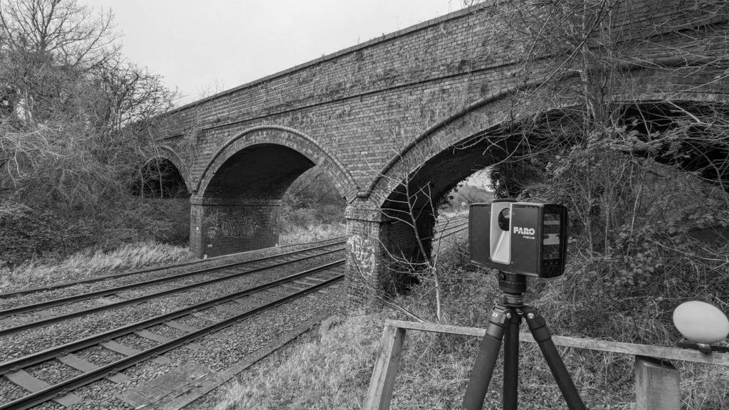
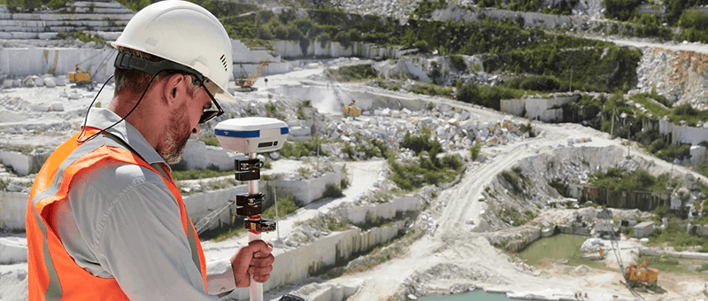
Our drones capture photogrammetry and LiDAR across substations, solar farms, wind sites and line routes without the need to stop works or switch anything off. Where the design needs millimetre accuracy, for example on foundations, gantries or connections, we add GNSS, total station and laser scanning on the ground. You get one consistent dataset, delivered as 2D CAD, 3D models and point clouds.
Services for the Energy & Power Sector
Topographical Survey
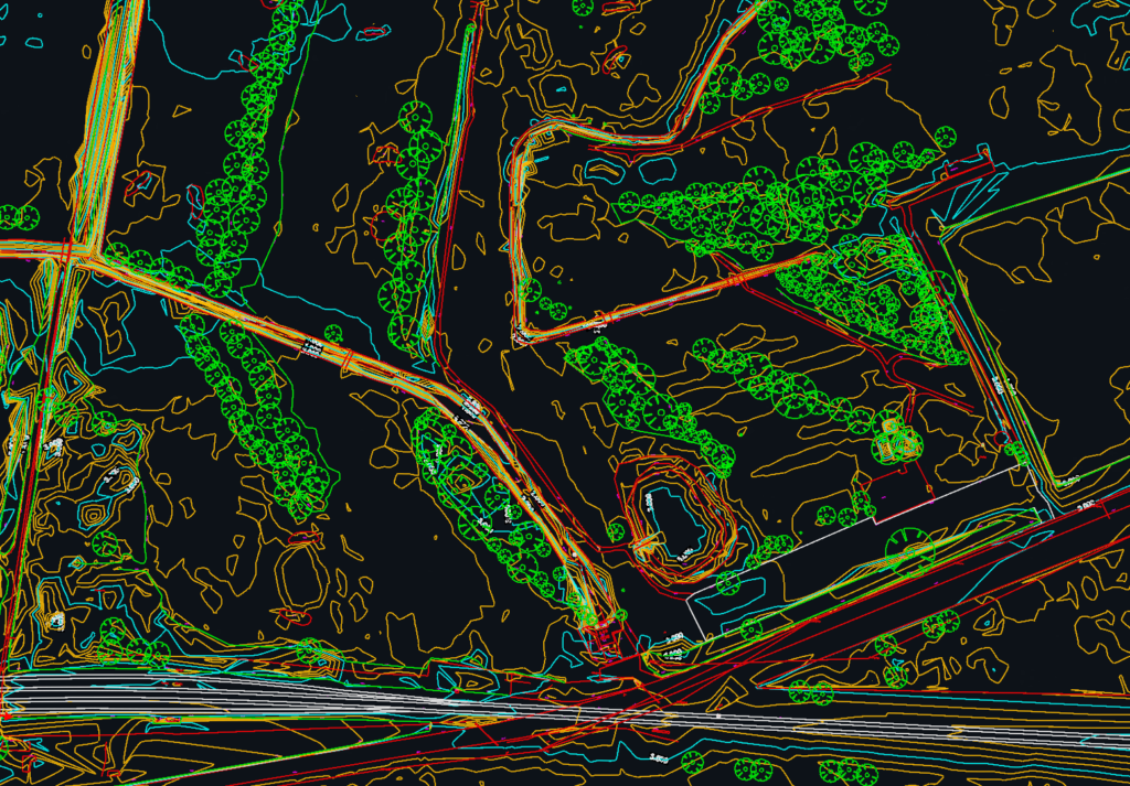
Levels, contours and site features measured with GNSS, total station and drone, delivered as CAD drawings and 3D models.
We combine aerial and ground survey to give energy clients accurate data quickly and safely, with minimal disruption to operations. As sister company to Matrix Consulting Engineers, who design substation civils and structures, we understand exactly what designers need from a survey.
We invite you to discover the difference that Matrix Advanced Surveying can make for your project. Contact us today to learn more about our services and how we can help you navigate the complexities of modern surveying with confidence and expertise.