High-precision LiDAR surveys from the air and the ground
LiDAR Surveys by Matrix Advanced Surveying
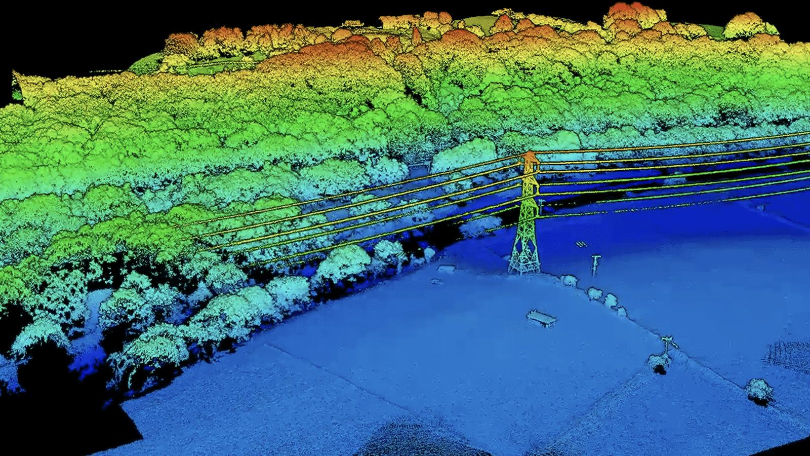
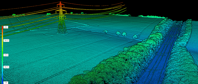
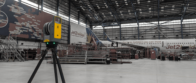
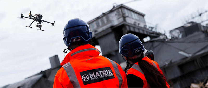
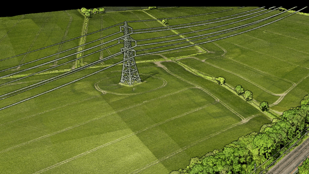
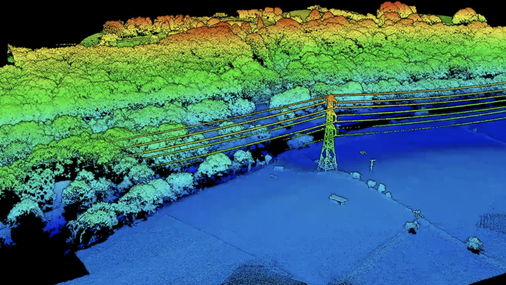
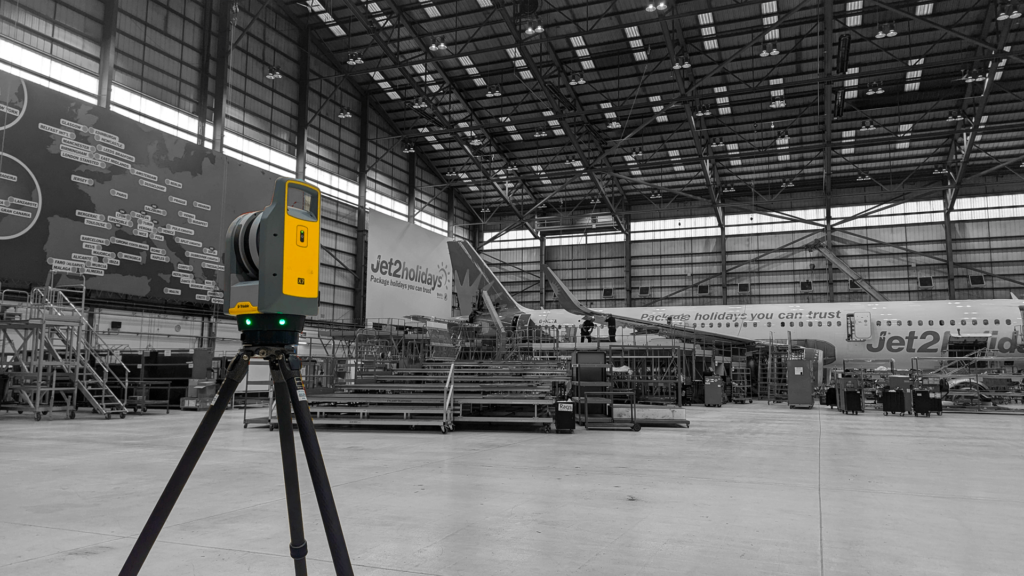
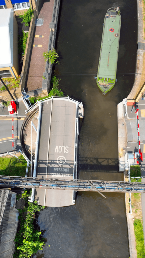
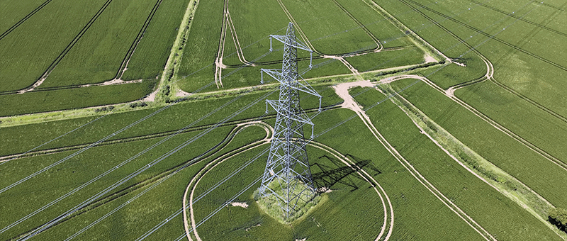
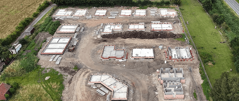
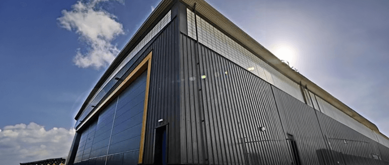
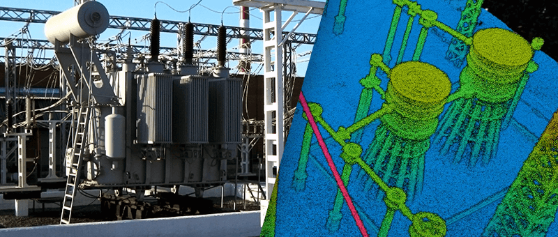
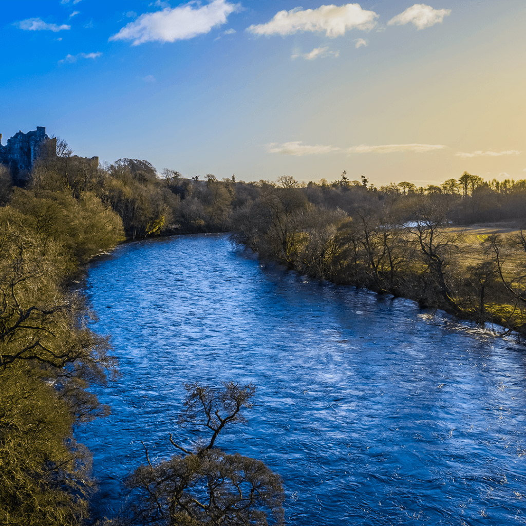
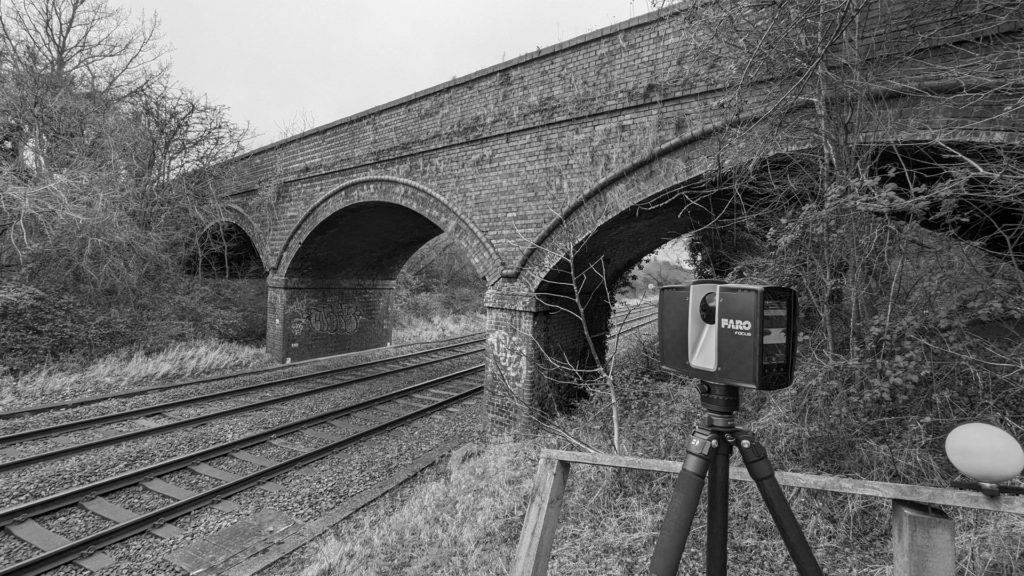
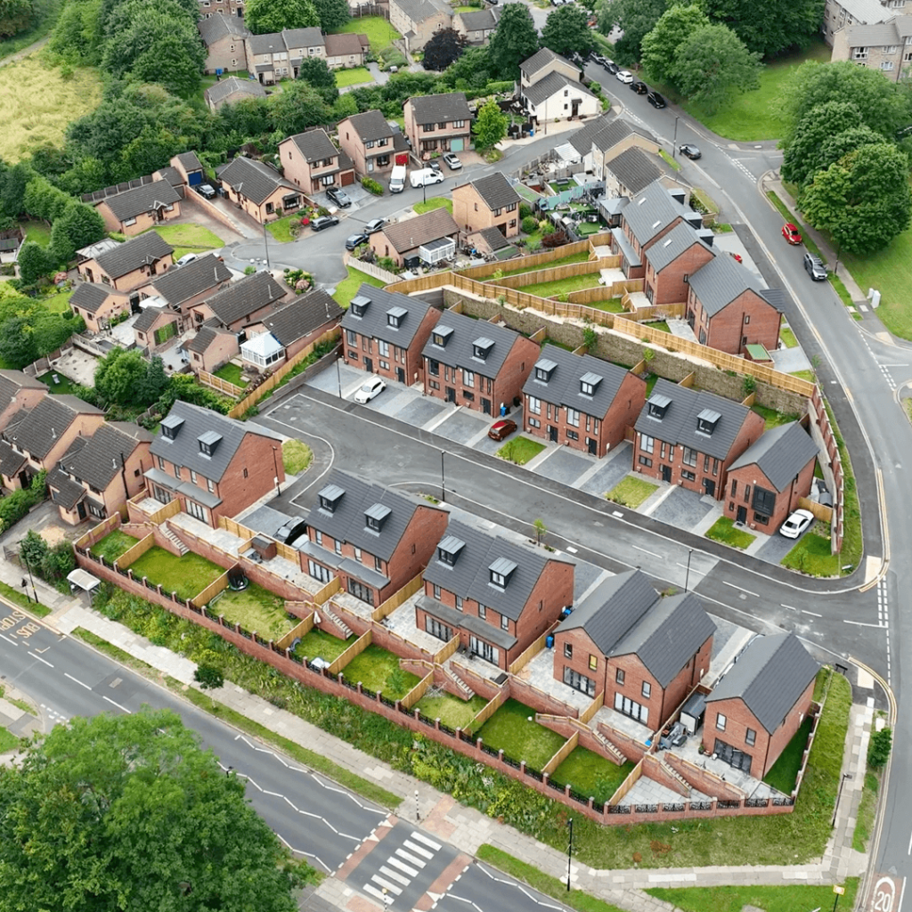
LiDAR (Light Detection and Ranging) measures distances with laser pulses, recording millions of 3D points to build an accurate model of the ground and everything on it. We use drone-mounted LiDAR to cover large areas and see through vegetation to the ground below, and terrestrial laser scanners for detailed work on structures and buildings.
Our LiDAR surveys support topographic mapping, earthworks and embankment profiles, volume calculations, infrastructure design and structural assessment for clients across the UK.
How We Carry Out a LiDAR Survey
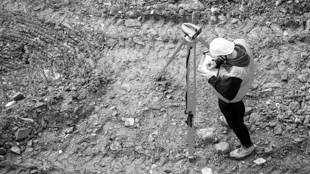
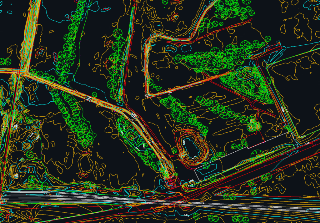
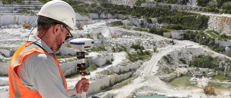
Every LiDAR survey starts with understanding what the data is for and the accuracy it needs. We set out survey control with GNSS, plan the flight or scan positions and capture the site. The data is then processed in DJI Terra and Trimble RealWorks into classified point clouds, ground models, contours and 2D CAD drawings.
Quality and Safety
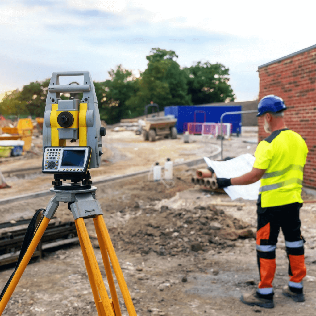
Our drone pilots hold the CAA A2 CofC and GVC and fly under a registered Operator ID, and our surveyors hold PTS for rail work and CSCS cards. Every dataset is checked against independent ground control before it is issued, so you know exactly how accurate it is.
Why Work With Us?
Clients choose our LiDAR surveys for:
Aerial and terrestrial LiDAR from one team
Accuracy checked against GNSS ground control
Data delivered ready for design and analysis
We explain the options clearly, recommend the most cost-effective approach and keep you updated until the data is delivered.
READY TO START
YOUR NEW PROJECT?
We invite you to discover the difference that Matrix Advanced Surveying can make for your project. Contact us today to learn more about our services and how we can help you navigate the complexities of modern surveying with confidence and expertise.