Aerial photogrammetry and LiDAR for large, live and hard-to-reach sites
Drone Surveys by Matrix Advanced Surveying
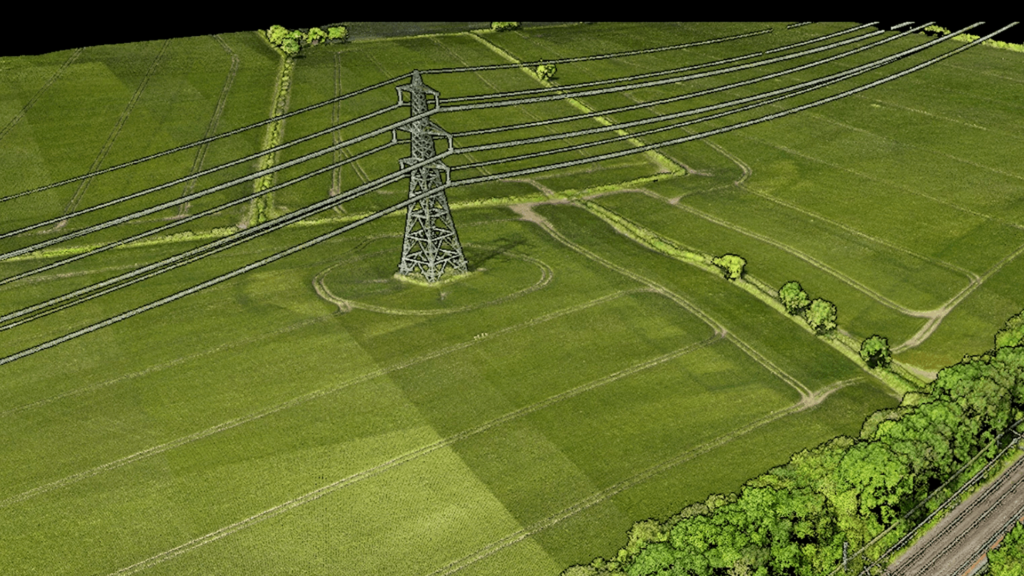
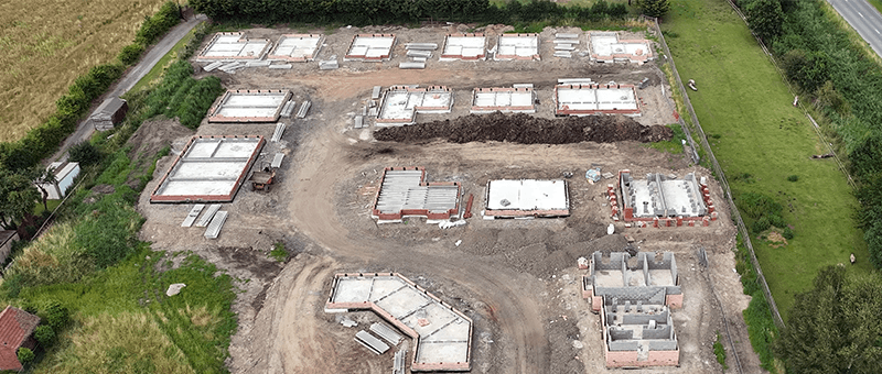
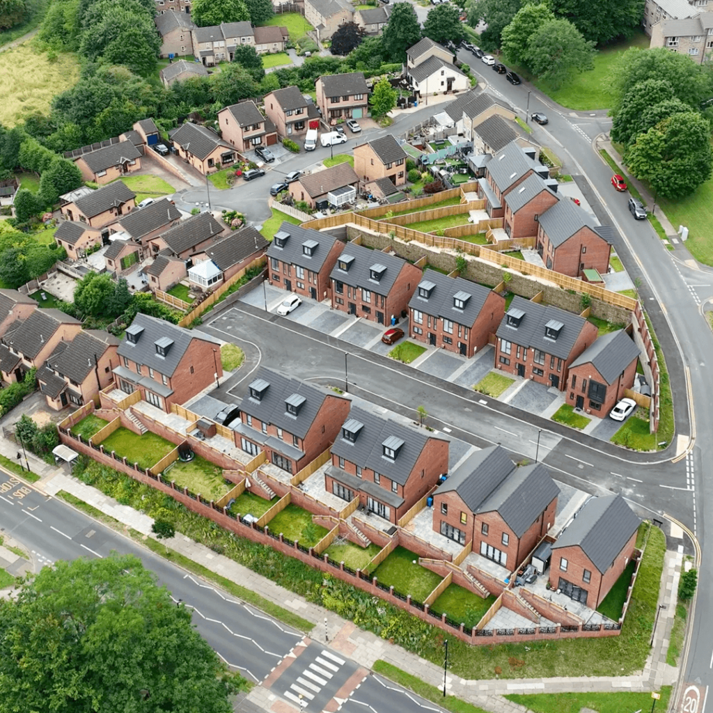
Our drone surveys capture accurate topographic and 3D data across sites that would take days to cover on foot. Using photogrammetry and LiDAR from our UAV fleet, we map land, structures and infrastructure quickly and safely, often without the need to close roads, railways or working sites.
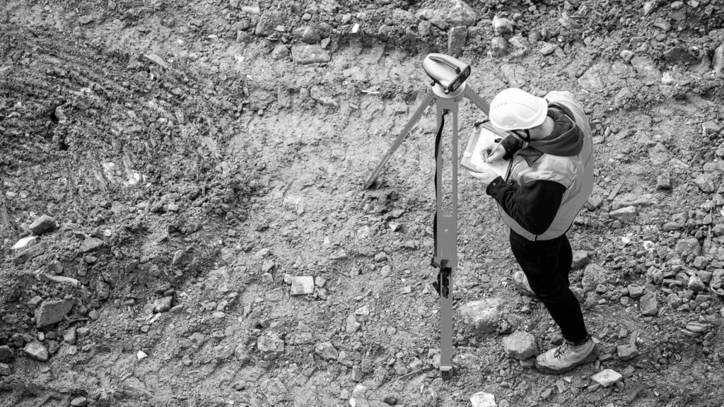
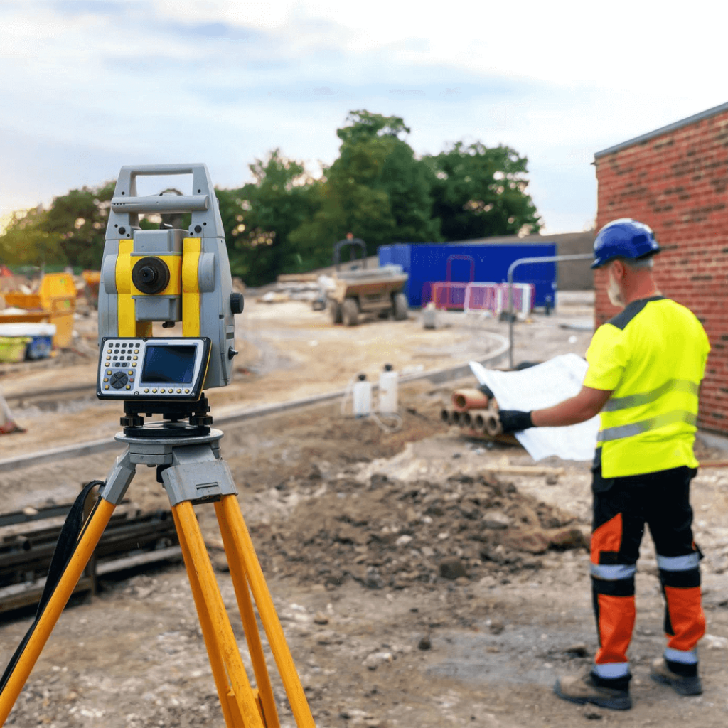
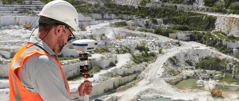
Every drone survey is controlled with GNSS and, where the job needs it, checked against total station observations on the ground, so you get data your team can design from.
How We Carry Out a Drone Survey
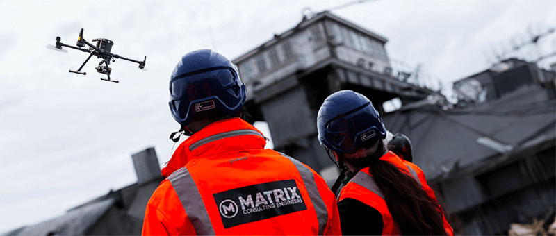
We plan each flight around your site, its airspace and the accuracy you need. Our CAA-qualified pilots fly a set grid pattern, capturing overlapping imagery for photogrammetry or laser returns for LiDAR, with ground control points fixed by GNSS to tie the data to the national grid.
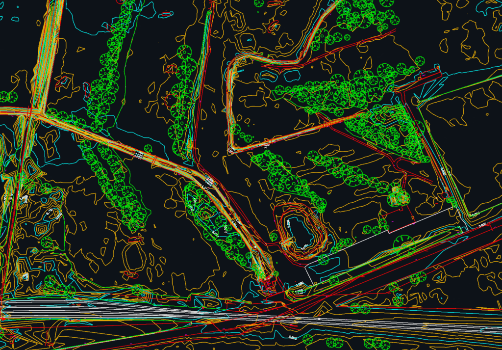
Back in the office we process the data in DJI Terra, DJI Modify and Trimble software, then deliver what your team needs: point clouds, orthophotos, 3D surface models and 2D CAD drawings.
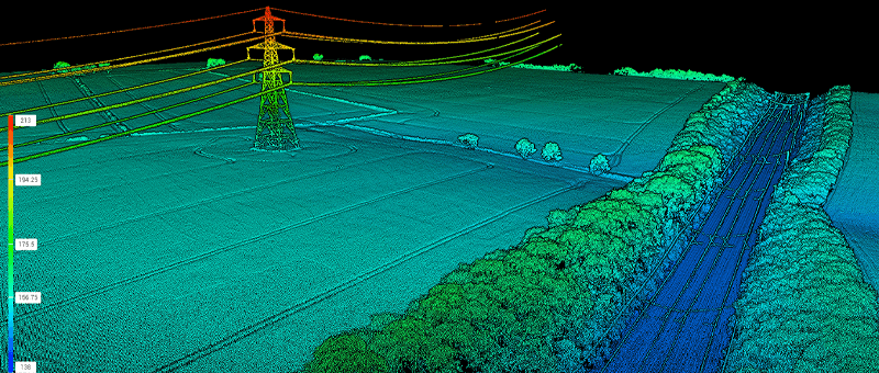
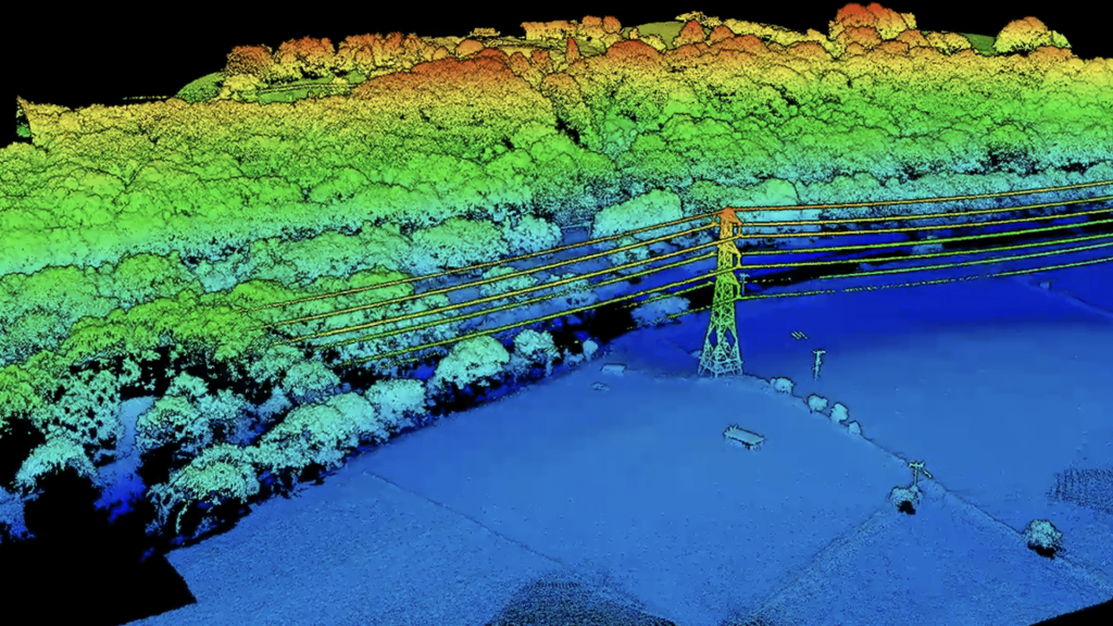
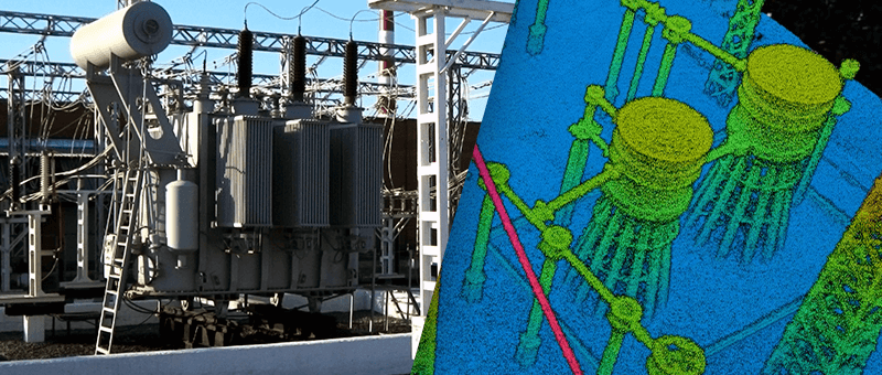
LiDAR sees through vegetation, separating the true ground surface from trees and buildings.
High AccuracyData
LiDAR measures distance with laser pulses, recording millions of 3D points in a single flight. Tied to GNSS ground control, the result is a reliable point cloud for design, volumes and asset records.
Fast DataCollection
A drone can cover in a day what might take a ground team a week, which keeps survey costs down and gets data to your designers sooner.
HighlyVersatile
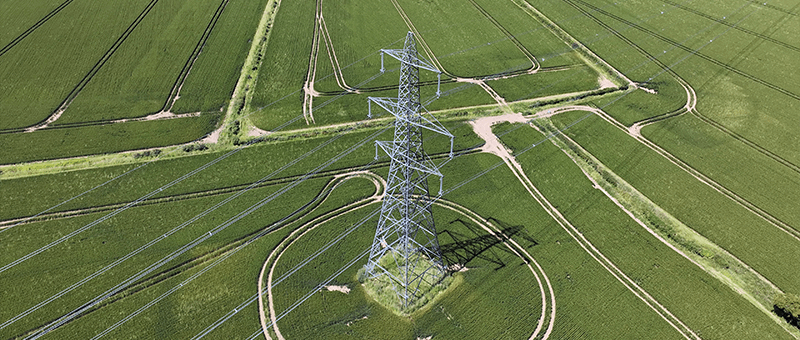
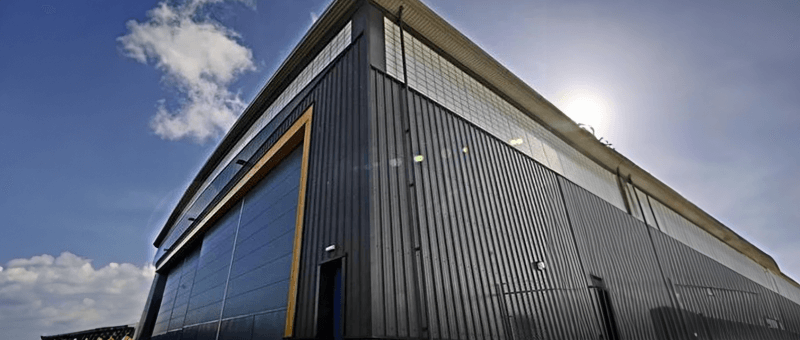
The same flight can serve topographic mapping, earthworks volumes, structural inspection and progress monitoring across rail, highways, energy, construction and land projects.
No Need toStop Works
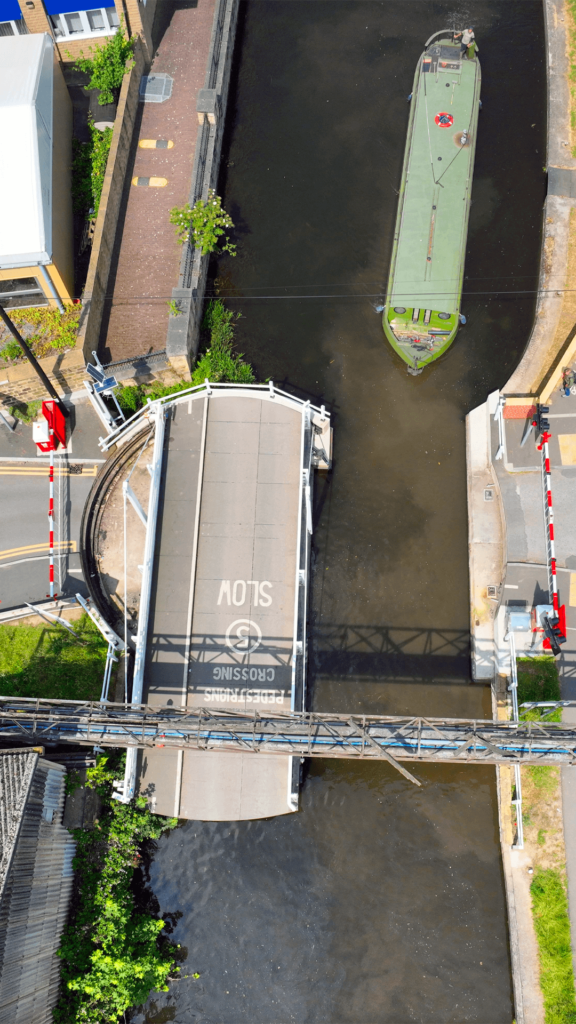
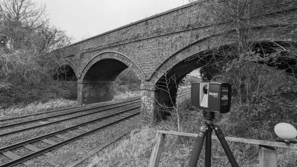
We can survey railways, roads and live sites from the air without possessions, lane closures or downtime, avoiding the cost and disruption of shutting anything down.
EnhancedSafety
Flying over embankments, roofs, bridges and hazardous ground keeps our surveyors out of harm’s way and reduces the need for working at height or near live traffic.
DetailedAnalysis
Point clouds and surface models support volume calculations, cut and fill, terrain mapping and structural inspection, delivered in the formats your team already uses.
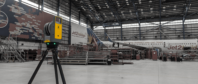
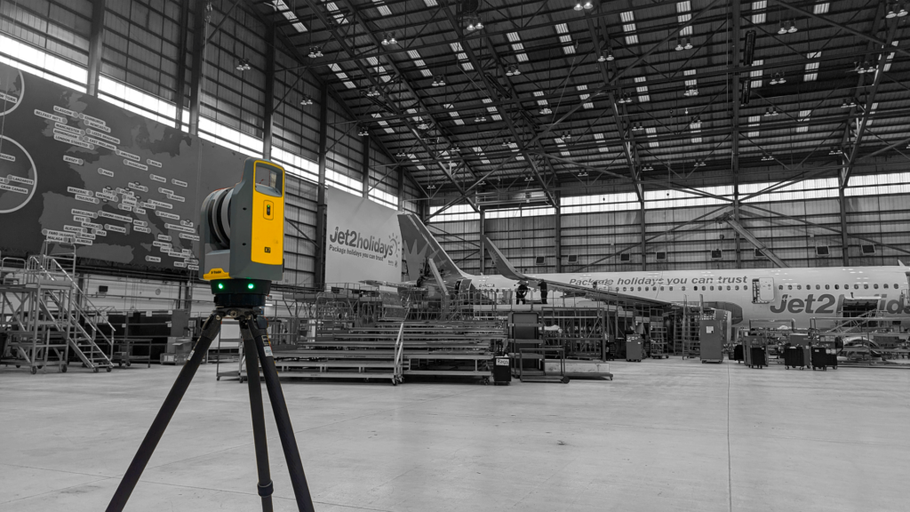
Drones are not the answer to every survey. Where you need millimetre accuracy, for example on structural interfaces or track geometry, we combine aerial data with GNSS and total station survey on the ground. We will always recommend the method that gives you the accuracy you need at the lowest cost.
Licensed, Qualified and Compliant
All our flights are carried out under UK Civil Aviation Authority rules, by pilots holding the A2 Certificate of Competency (A2 CofC) and the General Visual Line of Sight Certificate (GVC), operating under a registered CAA Operator ID. Our surveyors also hold PTS for working on the railway, CSCS cards and confined space training, so we can work safely on live infrastructure.
CAA Operator ID, with A2 CofC and GVC qualified pilots
PTS (Personal Track Safety) holders for work on the railway
Tell us about your site and what you need from the survey. We will recommend the right mix of drone, laser scanning and ground survey, and give you a clear quote. If you need engineering design or an inspection report, our sister company Matrix Consulting Engineers can take the data straight into design.
READY TO START
YOUR NEW PROJECT?
We invite you to discover the difference that Matrix Advanced Surveying can make for your project. Contact us today to learn more about our services and how we can help you navigate the complexities of modern surveying with confidence and expertise.