Accurate topographic surveys for planning, design and construction
Topographic Surveys You Can Design From
Matrix Advanced Surveying carries out topographic surveys that give architects, engineers and developers an accurate base for design. We measure ground levels, contours, boundaries, buildings, kerbs, drainage covers, trees and other site features, all tied to Ordnance Survey grid and datum.
What a Topographic Survey Includes
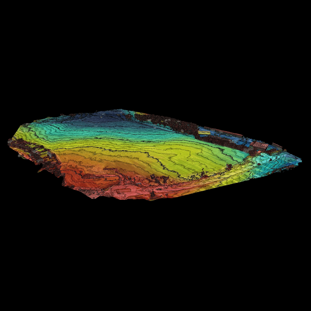
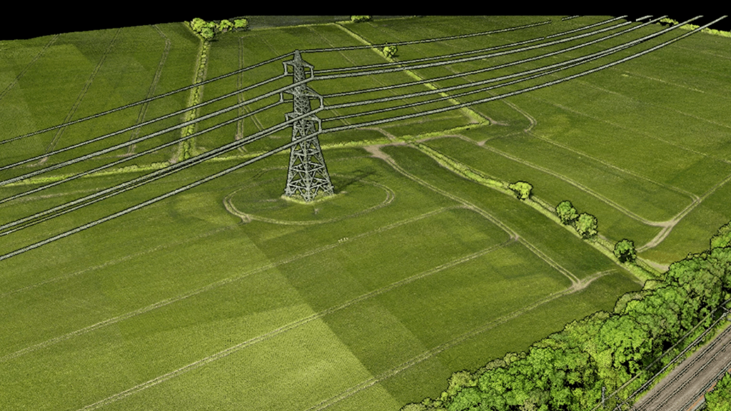
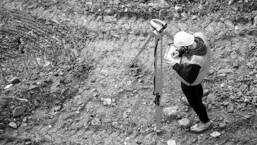
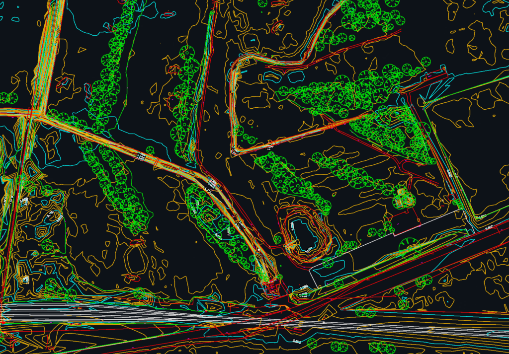
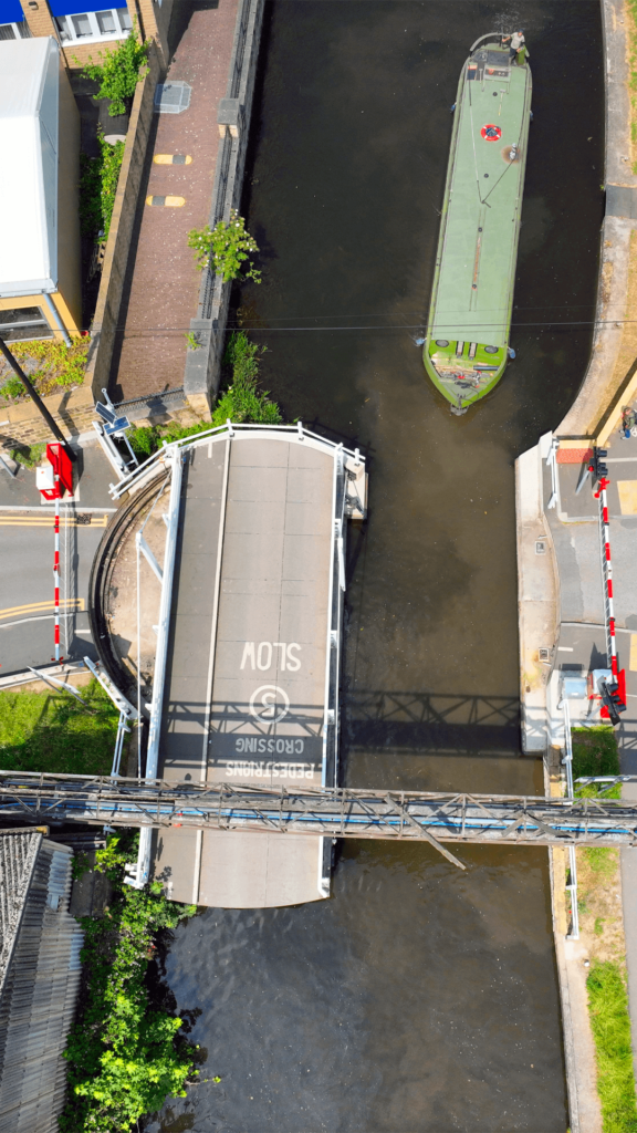
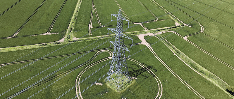
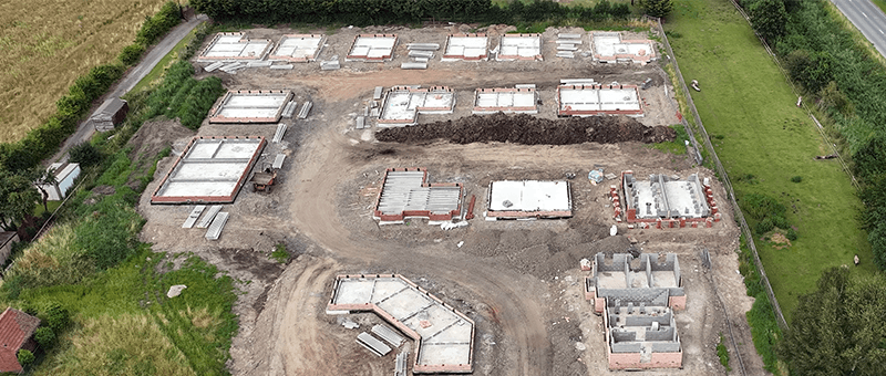
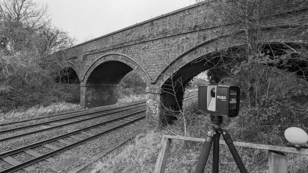
A topographic survey records the shape of the land and everything on it, shown on a 2D drawing through spot levels, contours and feature detail, and as a 3D model where you need one. We use GNSS and total station for high-accuracy detail, digital levels for precise heights, and drones to cover large or hard-to-reach areas quickly.
Clear, Usable Deliverables
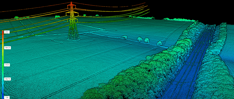
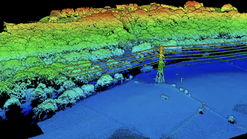
We process survey data in N4CE and Trimble Business Center and deliver it in the format your team works in: 2D CAD drawings, 3D surface models and point clouds. Every survey comes with the control and accuracy information your designers need.
Send us a site plan or postcode and a short outline of your project. We will confirm the scope, the accuracy you need and a delivery date before we start.
Why Work With Us?
Clients choose our topographic survey team for:
The right method for each site: GNSS, total station, levels or drone
Survey control tied to OS grid and datum, ready for design
Engineering support from our sister company, Matrix Consulting Engineers
We keep you updated from booking to delivery, and we are on hand to answer your designers’ questions once the survey is issued.
READY TO START
YOUR NEW PROJECT?
We invite you to discover the difference that Matrix Advanced Surveying can make for your project. Contact us today to learn more about our services and how we can help you navigate the complexities of modern surveying with confidence and expertise.