• Services
  • Sectors
  • Our Clients
  • About Us
  • News
  • Contact

Welcome to Matrix Advanced Surveying

Land, Building and Infrastructure Surveys

Topographic, structural, laser scanning and drone surveys across Yorkshire and the UK

Welcome to Matrix Advanced Surveying

Land, Building and Infrastructure Surveys

Topographic, structural, laser scanning and drone surveys across Yorkshire and the UK

About Matrix Advanced Surveying

Matrix Advanced Surveying is a Barnsley-based survey company working across Yorkshire and the UK. We carry out topographic and land surveys, structural inspections, movement monitoring, laser scanning and drone surveys for engineers, architects, contractors and asset owners.

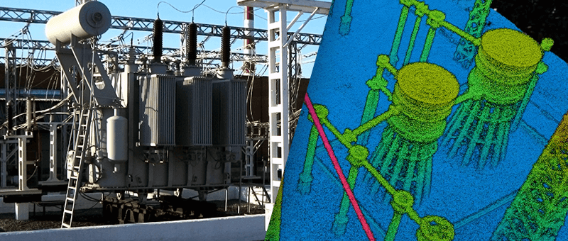
We choose the right method for every job: GNSS and total station for high-accuracy ground survey, terrestrial laser scanning for buildings and structures, and drone photogrammetry and LiDAR for large, live or hard-to-reach sites. Much of our work is on the railway and around bridges, where a drone survey can save the cost of a possession.

We are the sister company of Matrix Consulting Engineers, civil and structural engineers working from the same office. If your project needs engineering design, inspection reports or temporary works, they can take it on from our survey data, so survey and engineering are all under one roof.

Our Surveying Expertise

From a single building to miles of railway, we provide the survey data your project needs. Here is an overview of our main services.

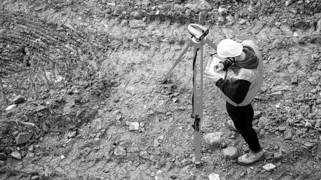
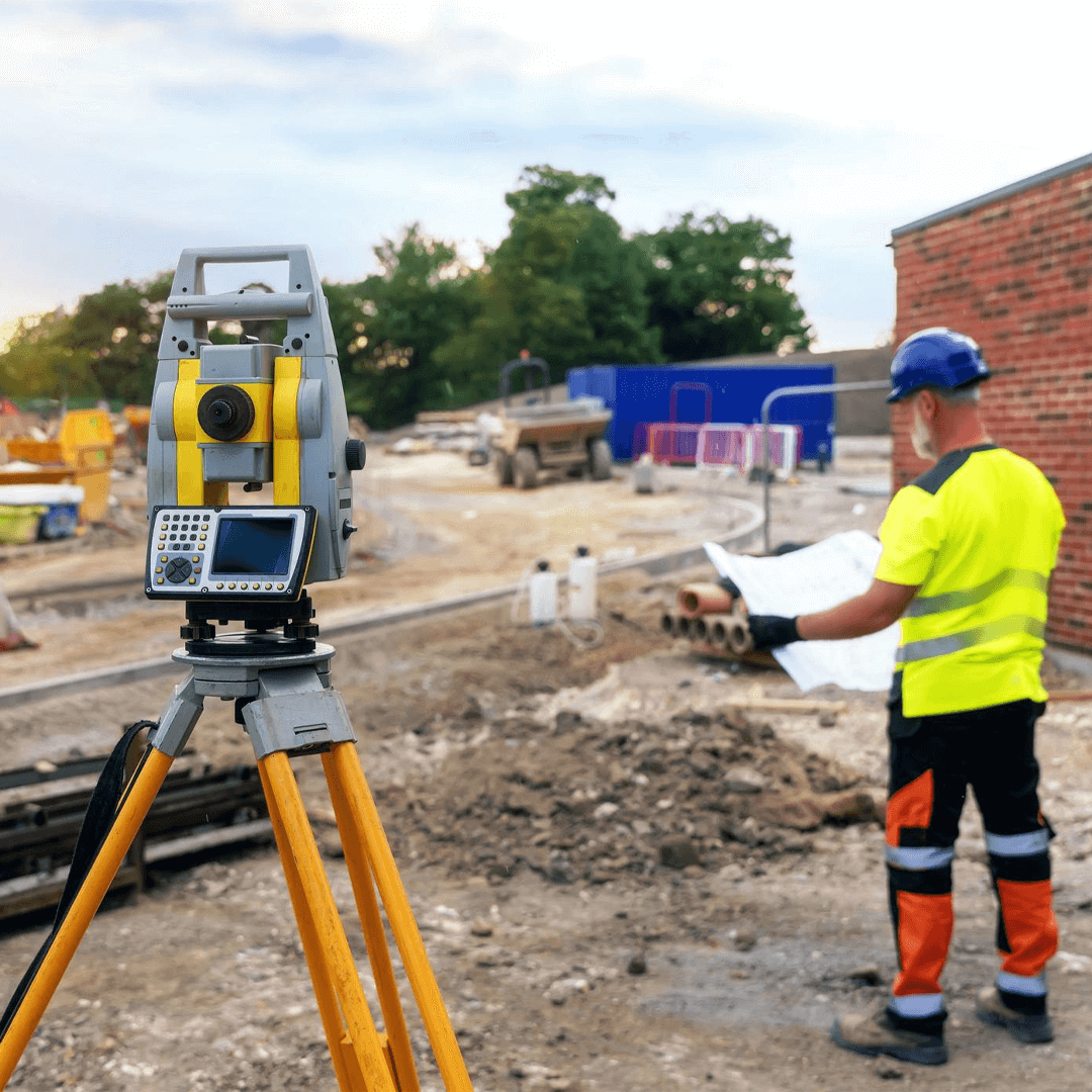
Topographical survey by Matrix Advanced Surveying

Topographical Surveys

Detailed surveys of levels, contours, boundaries and site features, essential for site planning and design.

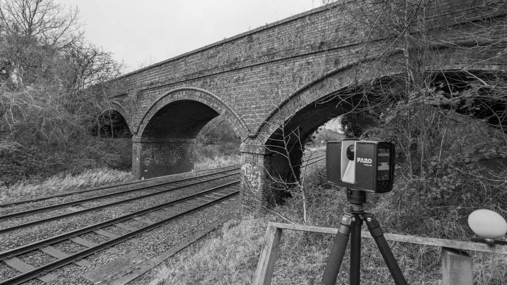
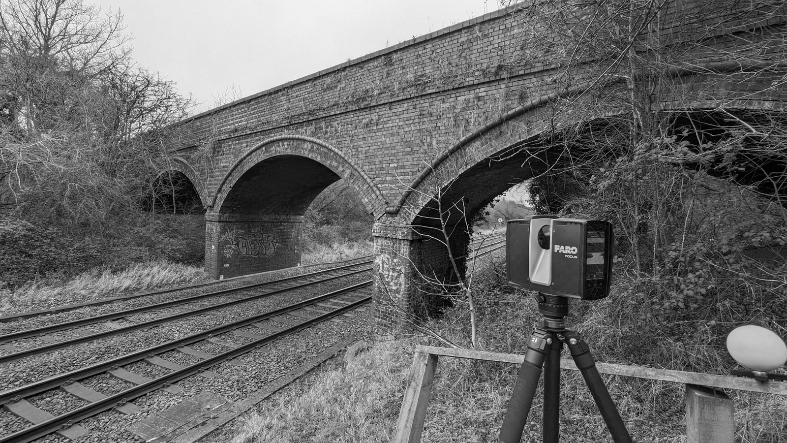
Laser scanner surveying a railway bridge

Point Cloud & 3D Laser Scanning

Terrestrial laser scanning and drone LiDAR that capture sites, buildings and structures as accurate 3D point clouds.

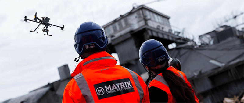
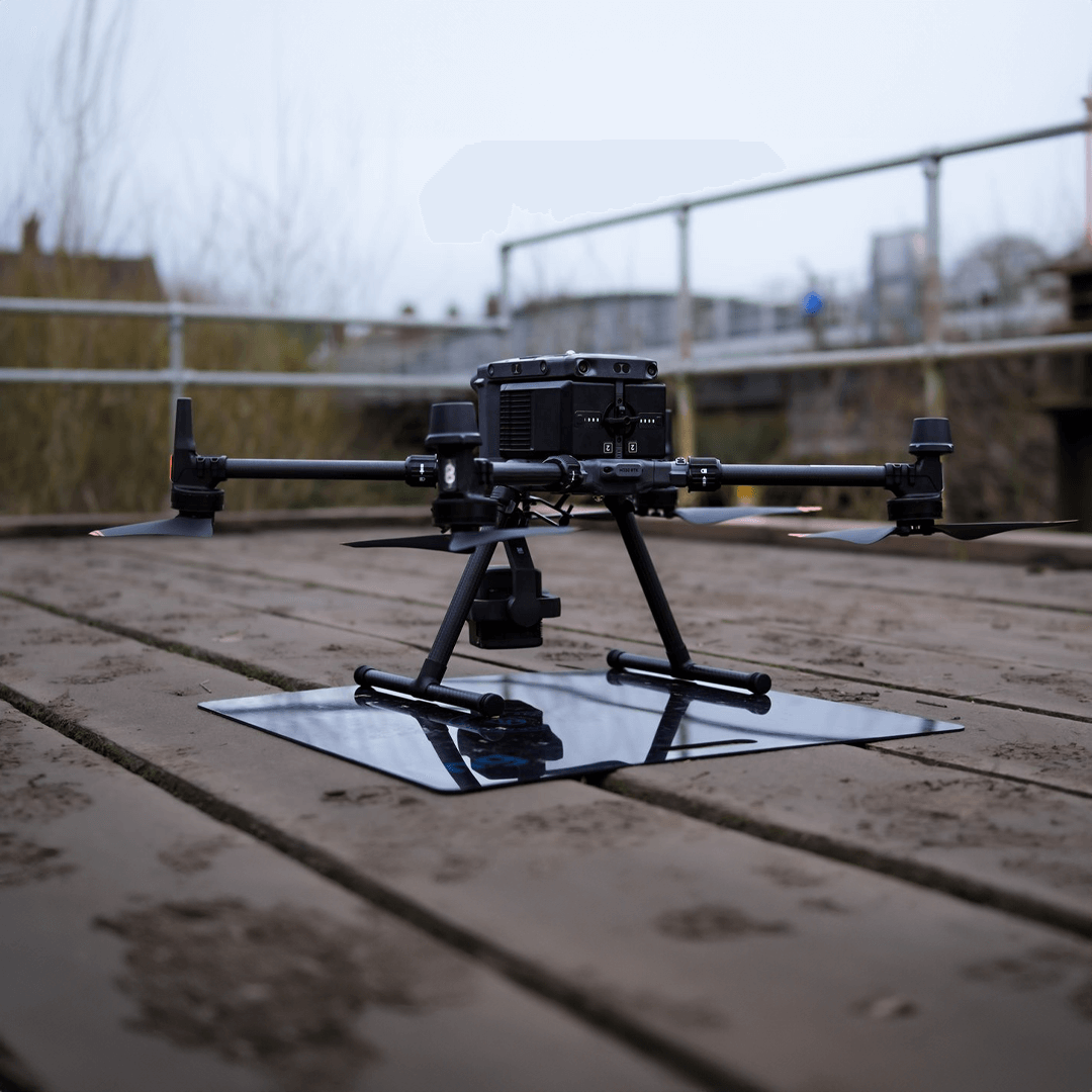
Survey drone on a bridge deck

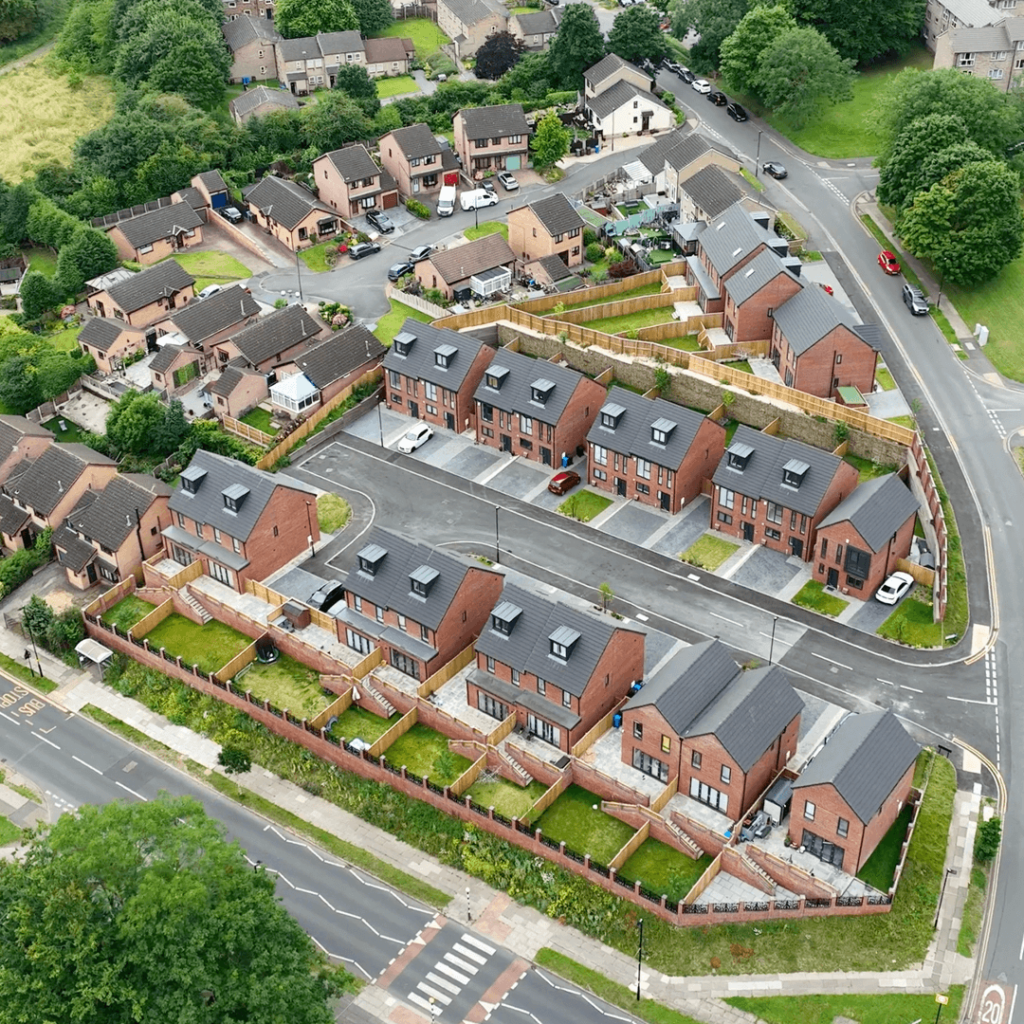
Drone / UAS Surveys

Aerial photogrammetry and LiDAR that capture large or hard-to-reach areas quickly, often without stopping works.

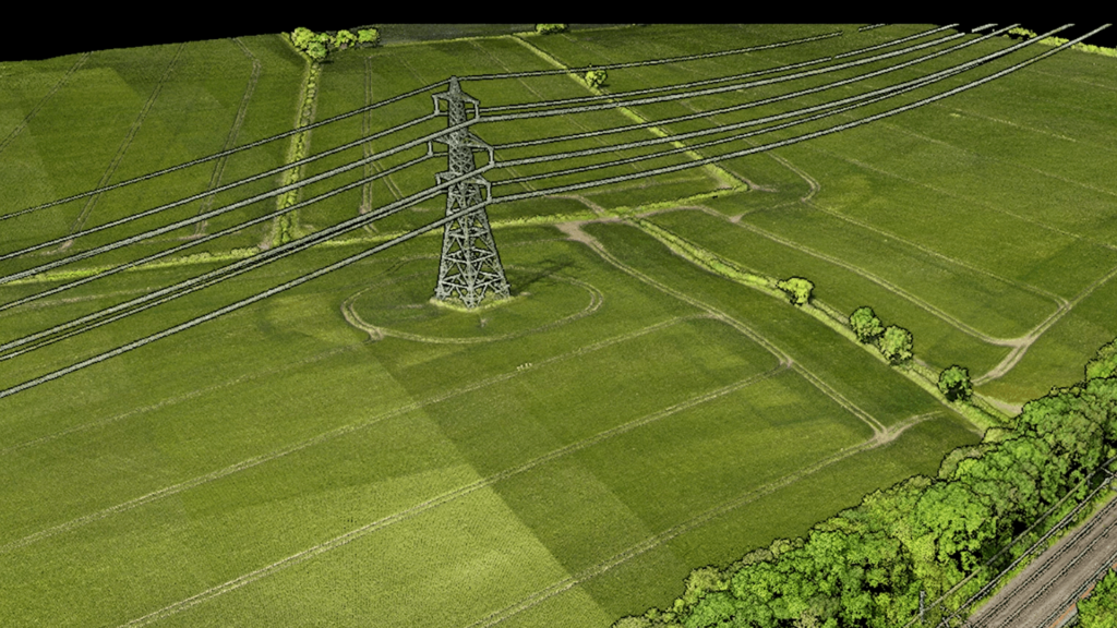
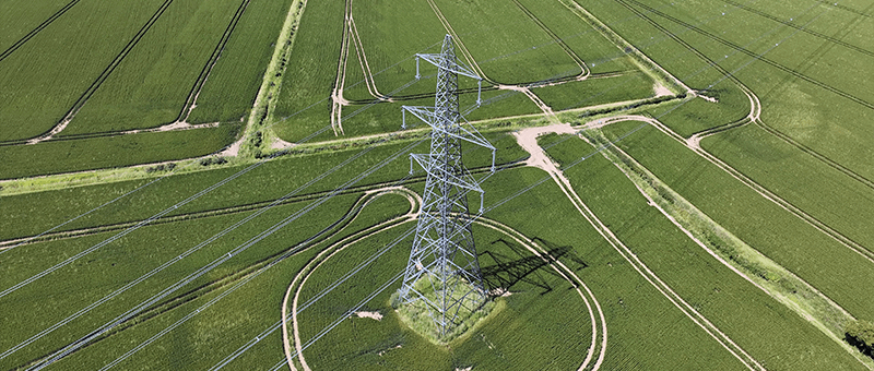
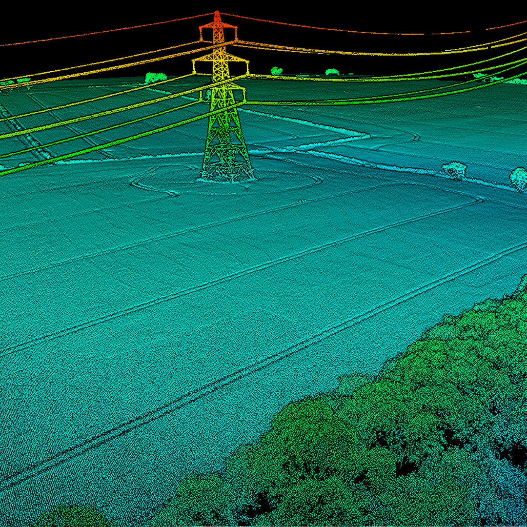
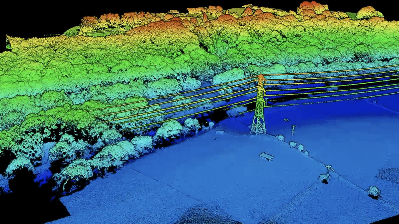
Photogrammetry model of a pylon in farmland

Photogrammetry Surveys

Accurate 3D models and orthophotos built from overlapping drone imagery, checked against ground control.

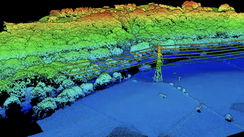
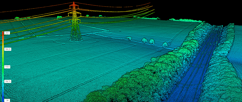
LiDAR point cloud survey

LiDAR Surveys

Laser measurement from drones and scanners, mapping ground, structures and terrain beneath vegetation in 3D.

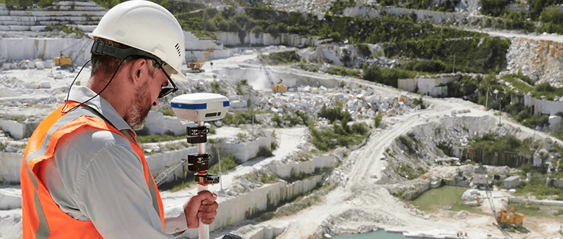
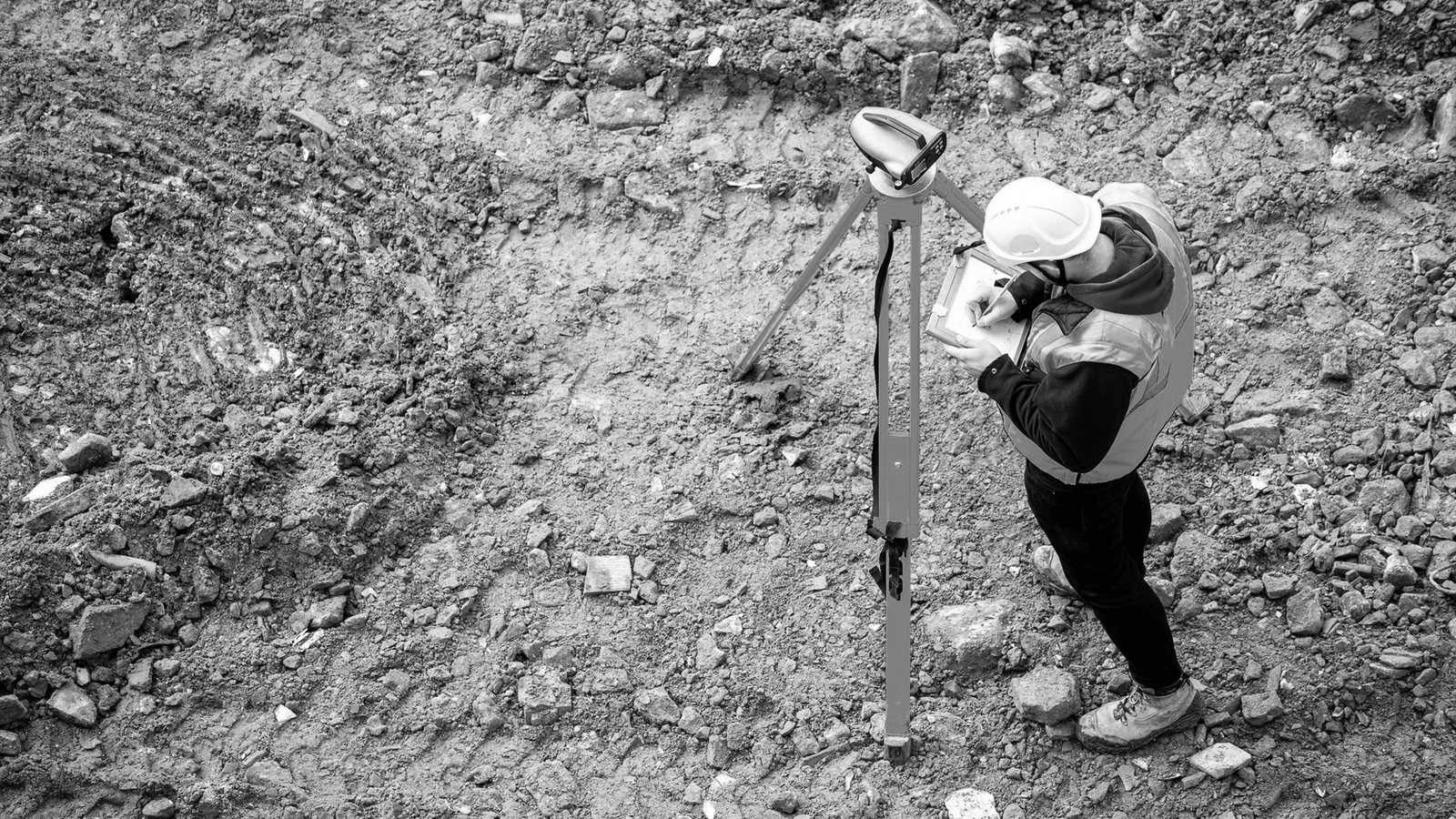
Surveyor taking readings with a GNSS receiver

Precise Levelling & Monitoring

Precise levelling and repeat readings on fixed targets to detect settlement and movement early.

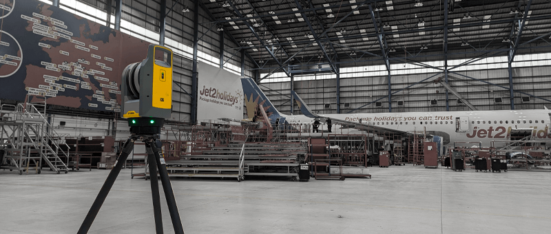
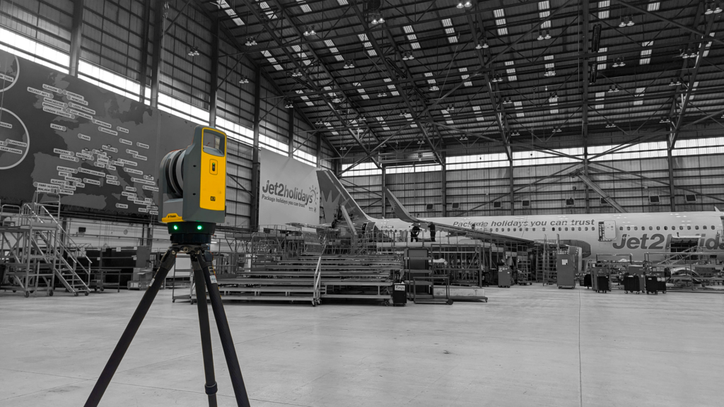
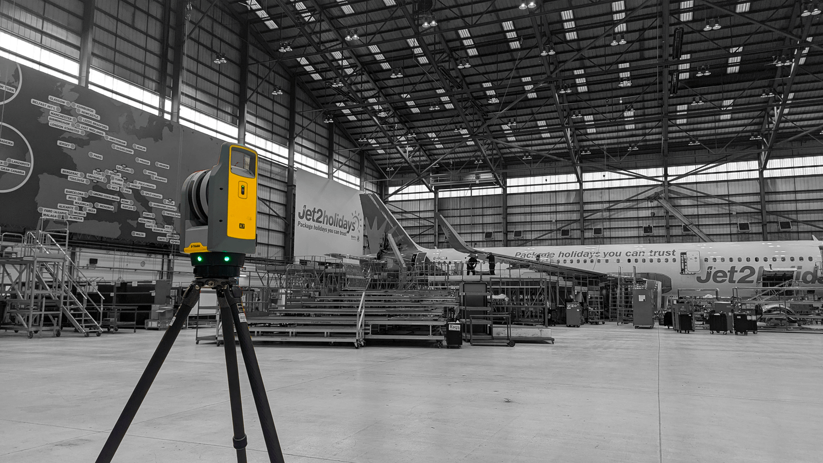
Laser scanner inside a large building

Measured Building Surveys

Floor plans, elevations and sections of existing buildings from 3D laser scanning.

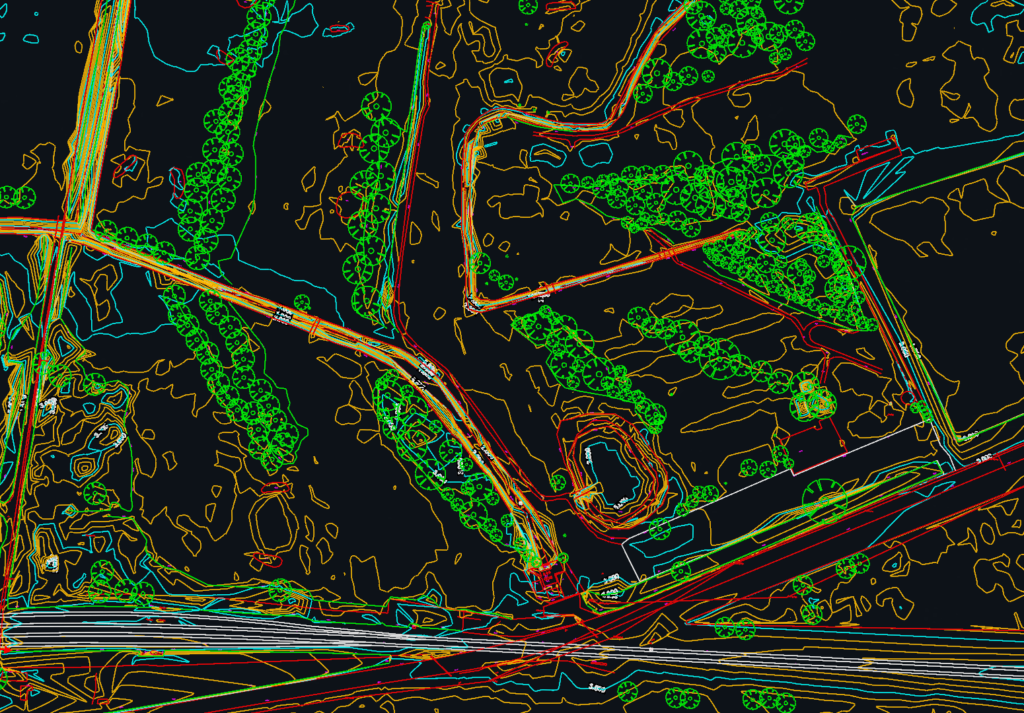
Topographical survey CAD drawing

CAD & 3D Modelling

Survey data delivered as 2D CAD drawings, 3D models and point clouds, ready for your design team.

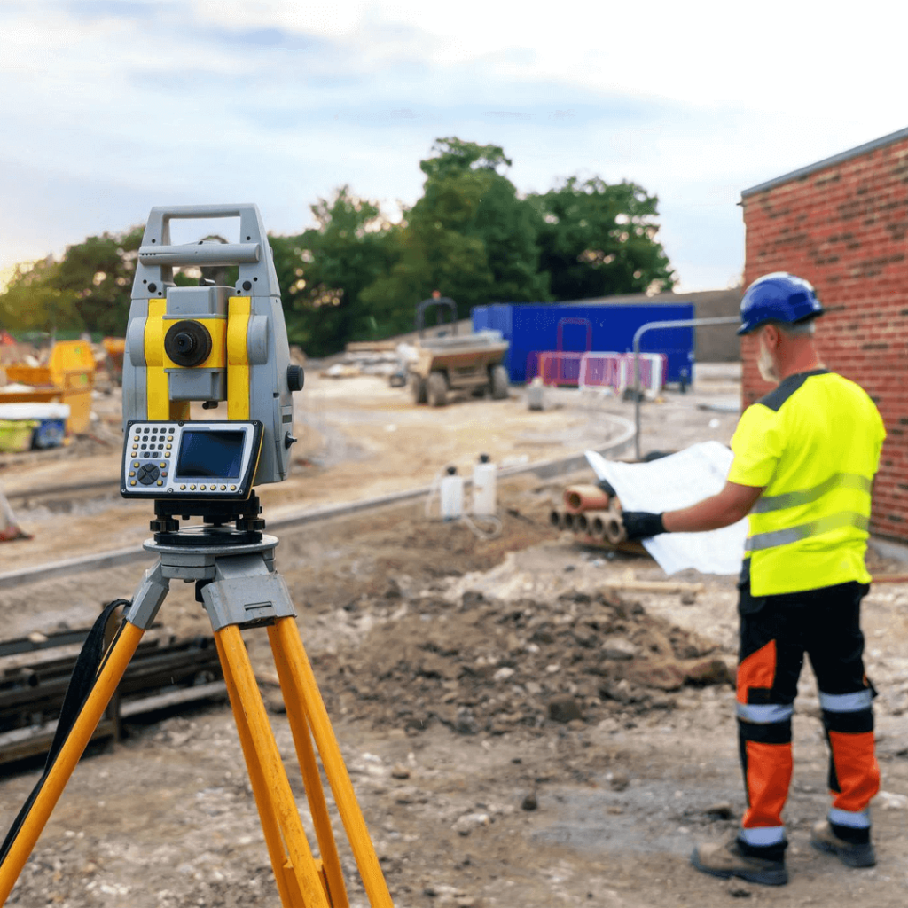
Surveyor on a construction site

Utility Surveys

Ground penetrating radar to locate buried pipes, ducts and cables before design or excavation.

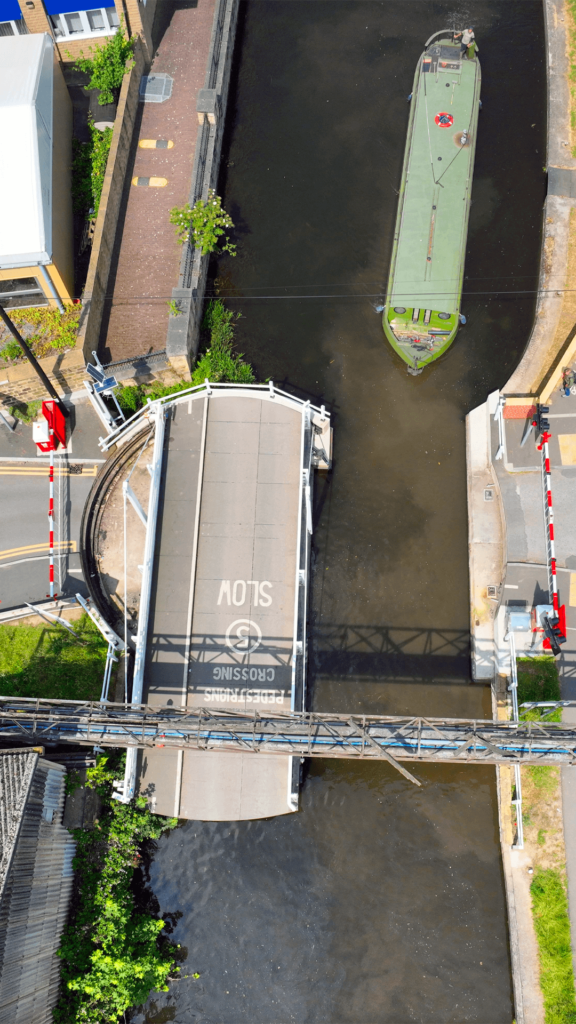
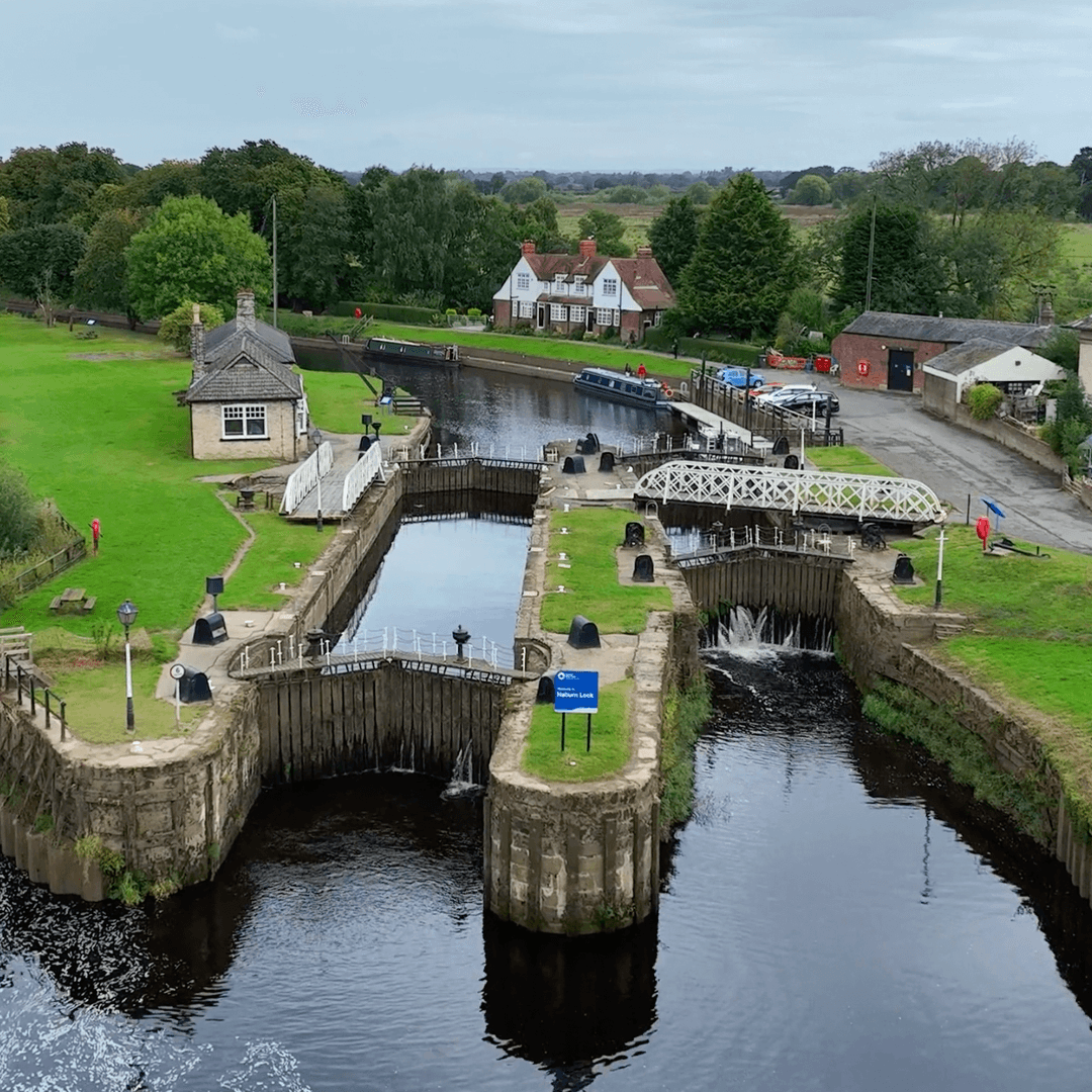
Aerial survey of a swing bridge

Structural Inspections

Inspection of bridges, buildings and structures, using drones and close-range survey to record condition and defects.

Trusted by Leading Companies and Organisations

Stay Updated with the Latest from Matrix AS

Explore our latest news and insights to stay informed about our projects and industry developments.

Our Recent Survey Projects

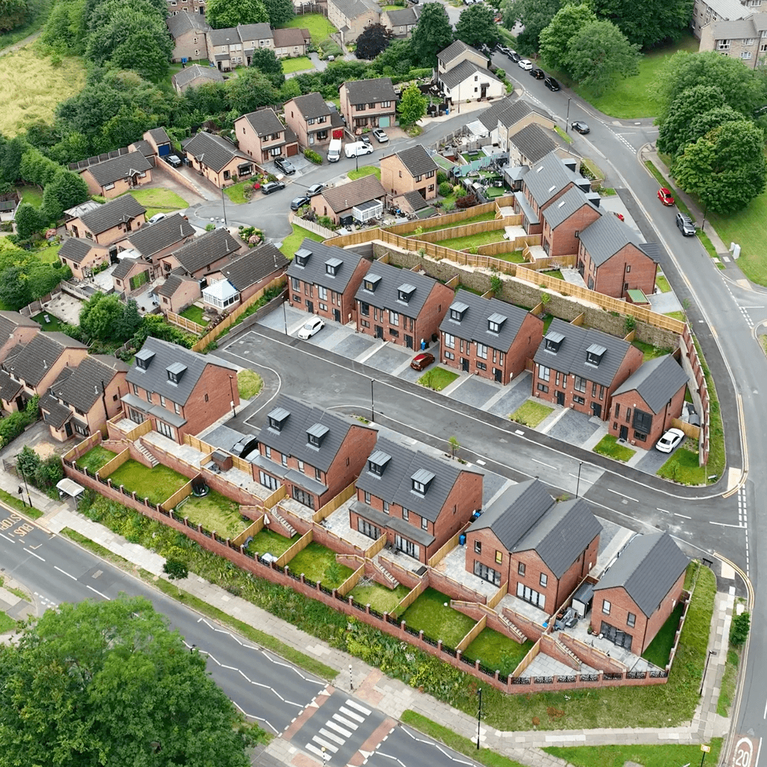
Matrix Advanced Surveying is proud to have contributed to a wide range of projects across different sectors. Our commitment to precision and client satisfaction is evident in every survey we conduct.

READY TO START YOUR NEW PROJECT?

We invite you to discover the difference that Matrix Advanced Surveying can make for your project. Contact us today to learn more about our services and how we can help you navigate the complexities of modern surveying with confidence and expertise.

Contact Form