


In an era where sustainability is a central concern across industries, the surveying sector is undergoing a significant transformation. Advancements in technology have not only improved the precision and efficiency of surveying but also contributed to reducing its environmental footprint. From drones to LiDAR systems, these innovations are reshaping how we map, measure, and manage our world with sustainability at the forefront.
The Environmental Challenges of Traditional Surveying
Surveying has traditionally relied on manual methods that often required significant human presence and machinery on-site. This approach, while effective for its time, came with notable environmental impacts:
- Carbon Emissions: Fuel-powered equipment and transportation for survey teams contributed to CO₂ emissions.
- Habitat Disruption: On-ground surveys sometimes involved clearing vegetation or disturbing wildlife habitats to ensure access and visibility.
- Resource Consumption: Paper maps, physical measuring tools, and other materials were often single-use or inefficiently used.
While the role of surveyors has always been vital to development, the need to balance accuracy with environmental responsibility has never been greater.
How Technology is Driving Sustainable Surveying
Modern surveying tools and techniques are leading a revolution in sustainability. Here’s how they’re making a difference:
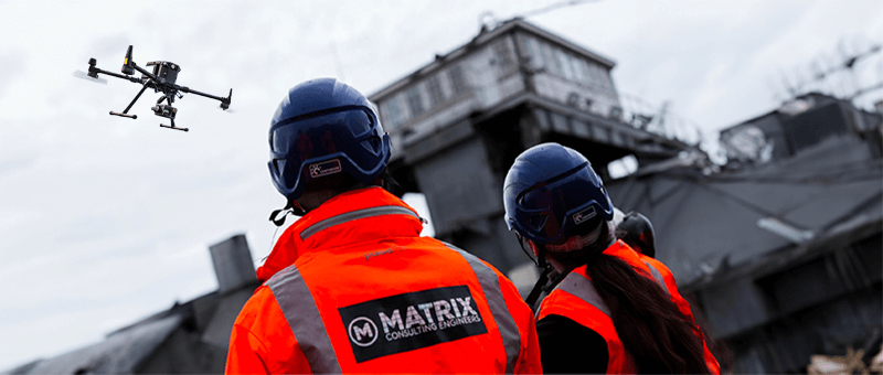
1. Drone Surveys: Reducing On-Site Disruption
Unmanned Aerial Vehicles (UAVs), commonly known as drones, are now a cornerstone of sustainable surveying.
- Lower Carbon Footprint: Drones eliminate the need for heavy vehicles and large teams on-site, significantly reducing fuel consumption.
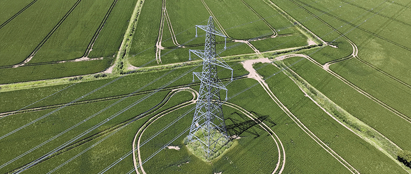
- Minimal Habitat Disturbance: Aerial surveys capture high-resolution images and data without requiring physical access to sensitive or remote areas.
- Efficiency: Faster data collection reduces the duration of projects, minimising overall environmental impact.
For example, agricultural surveys conducted via drones can assess crop health and water needs without the use of invasive ground-based equipment, promoting precision farming practices.
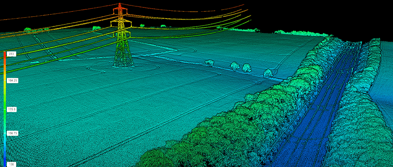
2. LiDAR Technology: Precision Without Destruction
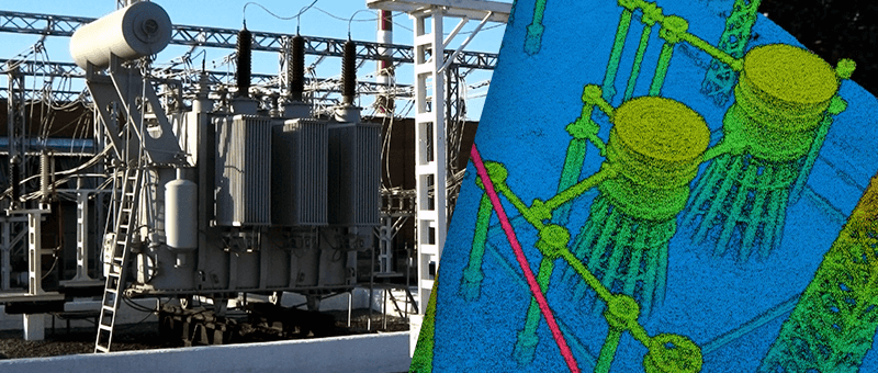
LiDAR (Light Detection and Ranging) technology has become synonymous with high-precision surveying. It uses laser pulses to create detailed 3D models of terrains, buildings, and vegetation.
- Non-Invasive Mapping: LiDAR can penetrate tree canopies to map forest floors without disturbing the ecosystem.
- Enhanced Land Management: Accurate topographical data supports better land use planning, preventing overdevelopment and protecting natural features.
- Energy Efficiency: Modern LiDAR systems are designed to consume less energy compared to older surveying equipment.
LiDAR’s applications in projects like coastal erosion monitoring highlight its ability to provide critical insights while respecting the environment.
3. GIS Integration: Smarter Data Management
Geographic Information Systems (GIS) integrate spatial data into a digital format, making it accessible for analysis and decision-making.
- Reduced Resource Usage: Digital mapping eliminates the need for printed materials, saving paper and other physical resources.
- Better Planning: By overlaying environmental data, GIS helps developers avoid ecologically sensitive areas, reducing unintended harm.
- Remote Access: Stakeholders can review GIS data remotely, reducing the need for travel and associated emissions.
For instance, combining GIS with drone surveys allows for real-time environmental impact assessments, streamlining sustainable project management.
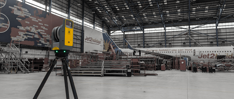
4. Energy-Efficient Equipment
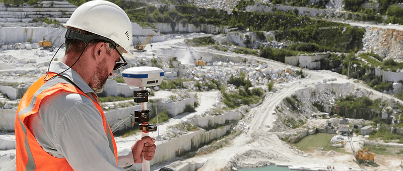
Advances in surveying equipment have made tools lighter, more portable, and less reliant on non-renewable energy sources.
- Solar-Powered Systems: Some surveying stations now incorporate solar panels, reducing dependency on fossil fuels.
- Battery Improvements: Longer-lasting batteries mean fewer replacements and less waste over time.
These innovations ensure that the tools of the trade align with the growing demand for sustainability.
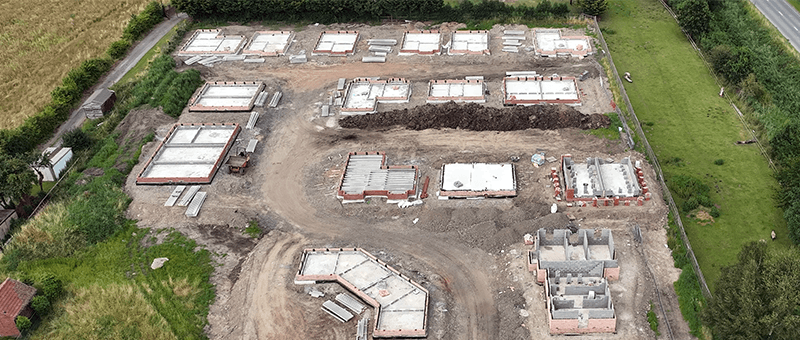
Real-World Applications of Sustainable Surveying
Matrix Advanced Solutions has been at the forefront of integrating these technologies into their projects. A few notable examples include:
- Renewable Energy Projects: Using drones and LiDAR for solar and wind farm site selection has ensured minimal disruption to local ecosystems while optimising energy generation.
- Heritage Conservation: Advanced scanning methods have preserved historical sites without invasive techniques that could harm their surroundings.
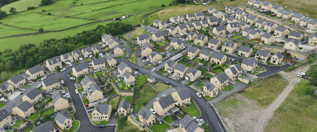
- Infrastructure Development: Sustainable practices, like avoiding wetland areas identified through GIS, have been implemented in transport and urban planning projects.
Looking Ahead: The Future of Sustainable Surveying
As climate change and environmental concerns continue to dominate global discourse, the role of surveying in sustainable development will only grow. The future is likely to see:
- Increased Use of AI: Artificial Intelligence will enhance data processing, further reducing resource consumption.
- Carbon-Neutral Operations: Surveying firms are adopting carbon offsetting measures to achieve net-zero emissions.
- Collaborative Platforms: Sharing data between stakeholders through cloud-based systems will reduce the duplication of efforts, saving time and resources.
By embracing technology and a commitment to eco-friendly practices, surveying can become a leading industry in the push for sustainability.
Conclusion
Sustainability is no longer an option but a necessity. With technological advancements such as drones, LiDAR, and GIS, surveying is proving that precision and environmental responsibility can go hand in hand. As these tools continue to evolve, they will enable surveyors to build a world that balances progress with preservation.
Matrix Advanced Solutions is proud to be at the cutting edge of this transformation, demonstrating that with the right tools and mindset, the future of surveying is as sustainable as it is innovative.