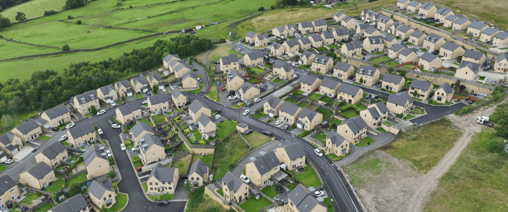
Efficient Site Monitoring and Progress Tracking for Construction Projects
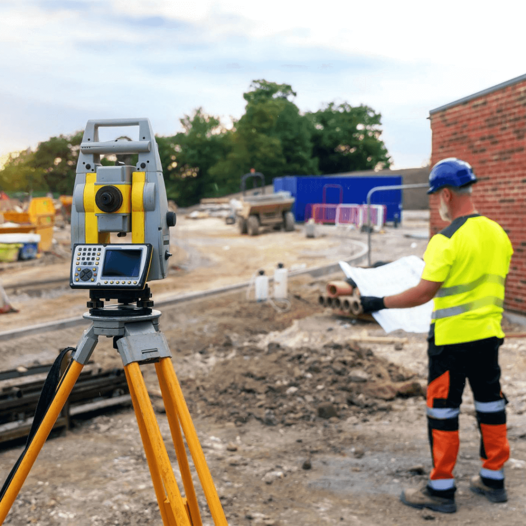
Precision Surveys for Construction Sites
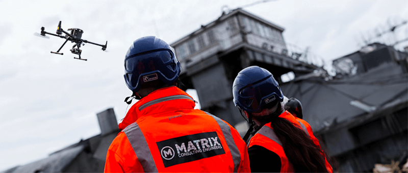
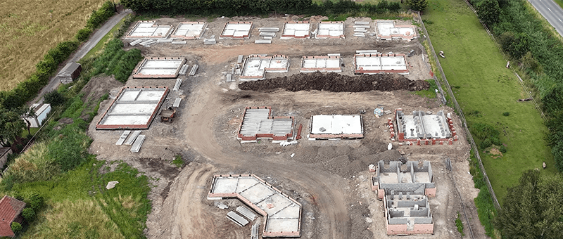
Our Construction Surveys provide a comprehensive view of construction sites, using advanced drone technology to capture high-resolution imagery and data. These surveys are essential for site monitoring, progress tracking, and ensuring that projects remain on schedule and within budget.
By bridging the gap between BIM (Building Information Modelling) and real-world construction, we deliver precise data that streamlines decision-making.
Challenges in the Construction Sector
The construction sector often faces significant challenges, including maintaining safety standards, managing tight schedules, and ensuring budget compliance.
Traditional survey methods can be time-consuming and costly, especially when tracking progress over large sites. Keeping all stakeholders updated on site developments is another challenge that requires timely, accurate data.
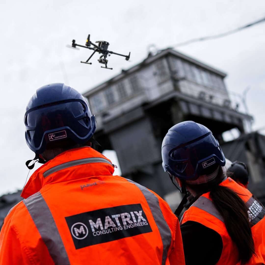
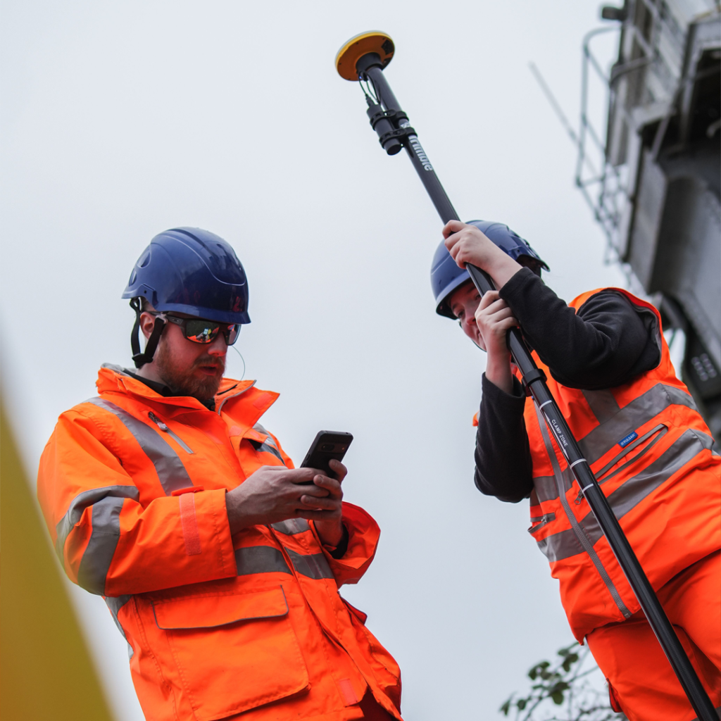
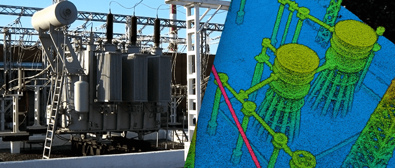
Advanced Drone Technology for Construction Surveys
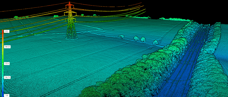
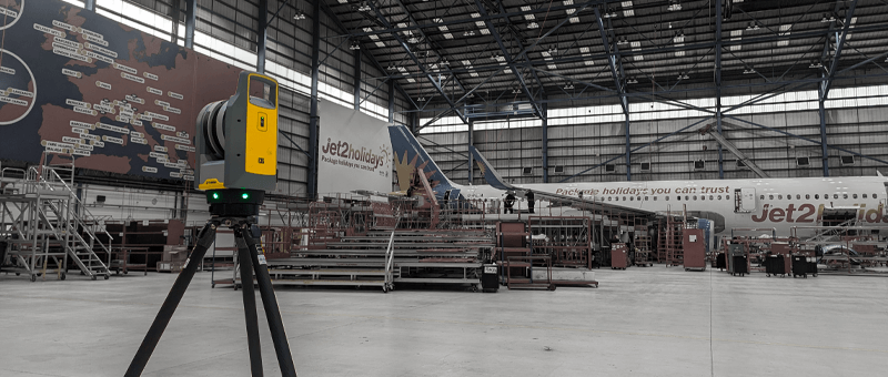
Our drones are equipped with cutting-edge cameras, LiDAR sensors, and Trimble Site Vision, allowing for real-time data collection and visualisation.
These tools are ideal for bridging the gap between digital models (BIM) and the physical construction site, providing precise topographical data, 3D models, and aerial imagery.
This technology ensures that you get accurate, real-time updates on site progress, and helps in early identification of any potential issues.
Services for Construction Surveys
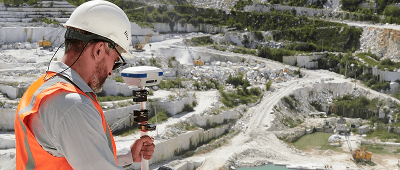
Site Monitoring
Enabling efficient project management through precise tracking of construction progress and site conditions over time.
At Matrix Advanced Surveying, we offer precise, efficient, and cost-effective Construction Surveys that provide actionable insights and streamline project management. Our surveys reduce manual labour, increase safety, and help ensure timely project completion.
By leveraging advanced technology, including Trimble Site Vision, we deliver high-quality results that support the entire construction lifecycle, from planning to completion.
We invite you to discover the difference that Matrix Advanced Surveying can make for your project. Contact us today to learn more about our services and how we can help you navigate the complexities of modern surveying with confidence and expertise.