Survey Solutions for Coastal and Marine Environments
Carrying out Maritime and Coastal Management Surveys
Our maritime and coastal management services provide detailed data to support sustainable marine operations and coastal preservation. Using advanced technologies, we deliver precise mapping, monitoring, and analysis tailored to protect and manage marine and coastal ecosystems. From erosion assessments to marine structure inspections, our solutions help clients make informed, environmentally responsible decisions.
Challenges in Maritime and Coastal Management
The maritime and coastal sectors face complex challenges, including monitoring large and dynamic environments, assessing erosion, managing marine infrastructure, and complying with environmental regulations. Traditional surveying methods can be time-intensive and impractical in high-risk areas, emphasising the need for advanced, cost-effective solutions.
Advanced Technology for Maritime and Coastal Surveys
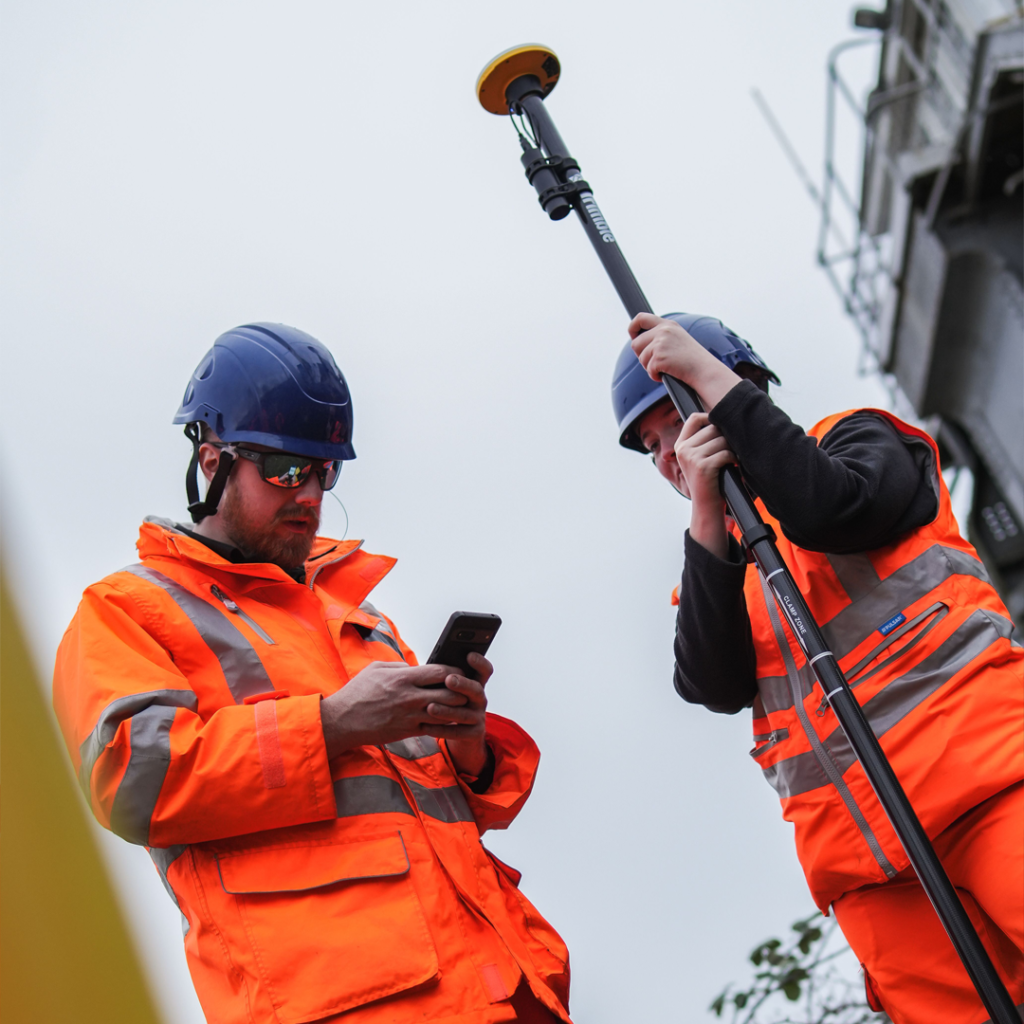
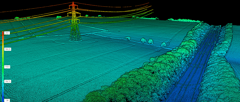
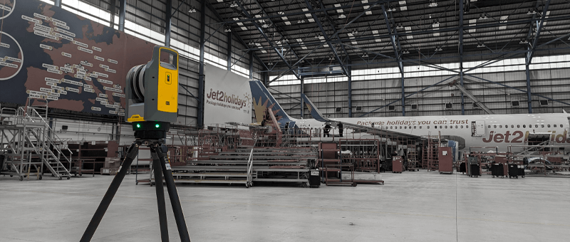
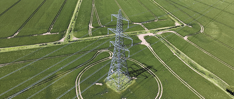
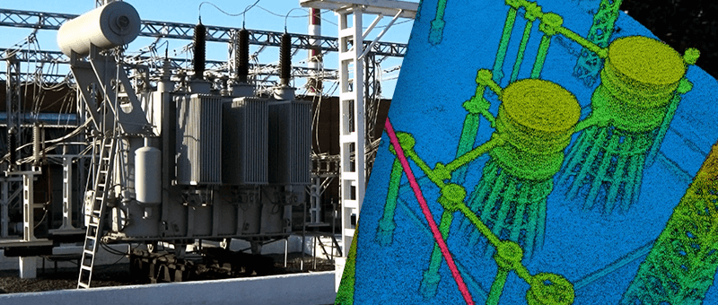
We utilise state-of-the-art tools, including drones, LiDAR, sonar, and GIS mapping, to capture detailed data on coastal and marine environments. These technologies allow for high-resolution mapping of coastlines, bathymetric surveys, and real-time monitoring of marine structures. This ensures fast, accurate insights to tackle dynamic challenges.
Applications of Maritime and Coastal Management Surveys
Drone Surveys
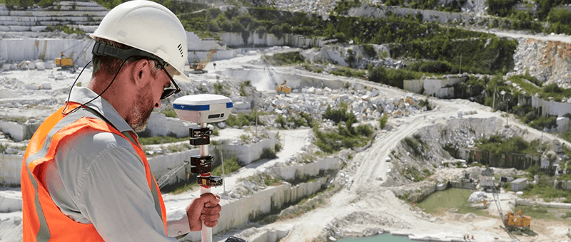
Providing high-precision aerial surveys using advanced drone technology to deliver detailed imagery and data for a wide range of projects.
Matrix Advanced Surveying offers precise, reliable maritime and coastal management solutions, tailored to meet the unique demands of marine environments. Our expertise, coupled with cutting-edge technology, ensures efficient, sustainable solutions for infrastructure planning, conservation efforts, and environmental compliance. Trust us to deliver actionable insights with professionalism and care for marine ecosystems.
We invite you to discover the difference that Matrix Advanced Surveying can make for your project. Contact us today to learn more about our services and how we can help you navigate the complexities of modern surveying with confidence and expertise.