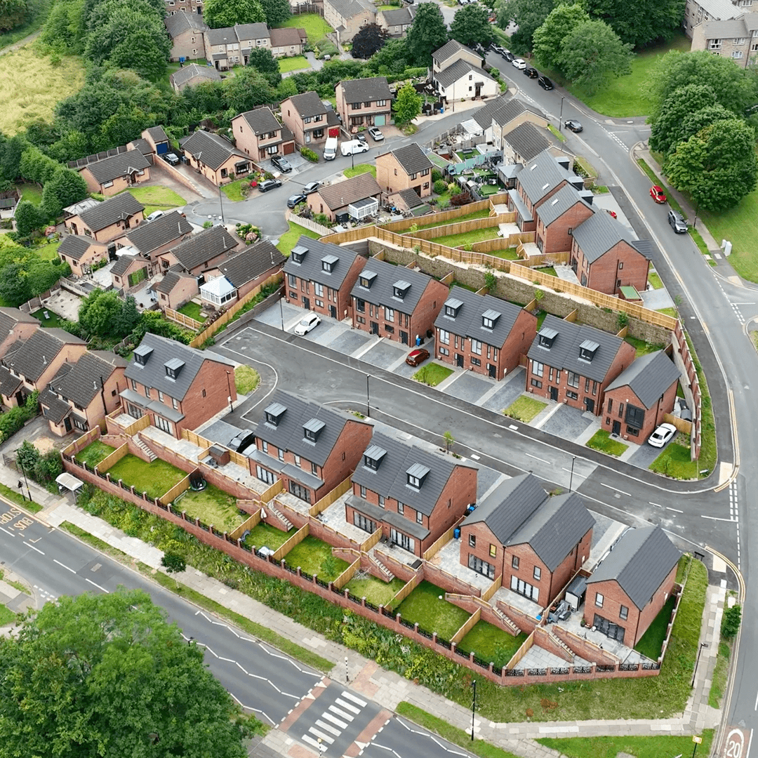
Our Property Drone Survey services are revolutionising property management by offering high-resolution aerial imagery, comprehensive inspections, and detailed structural assessments. These services provide essential data for the maintenance, planning, and development of properties, allowing property managers to make informed decisions quickly.
Using advanced drone technology, we help clients stay ahead of potential issues, ensuring efficiency and cost-effectiveness.
Challenges Faced in Property Management
Property management often faces challenges like high costs for routine inspections, limited access to hard-to-reach areas, and time-consuming manual assessments. Identifying structural defects early can be difficult, often leading to long-term repair costs.
Our Property Drone Survey services address these issues by providing quick, accurate, and safe assessments that reduce the risk of undetected damage.
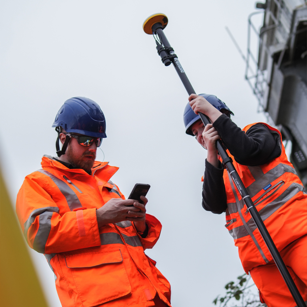
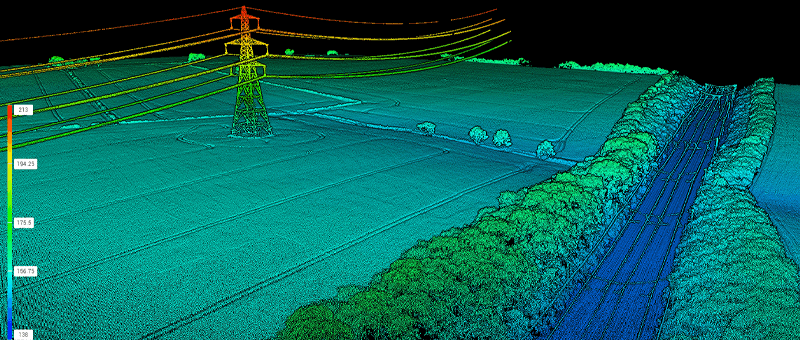
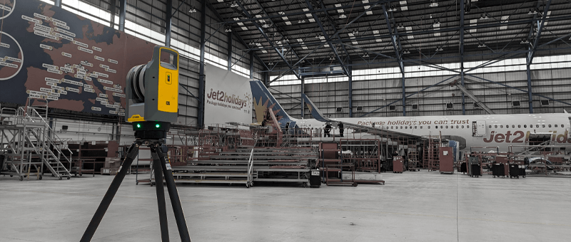
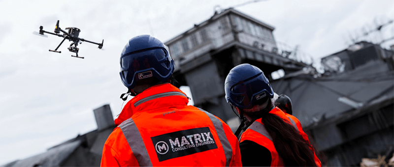
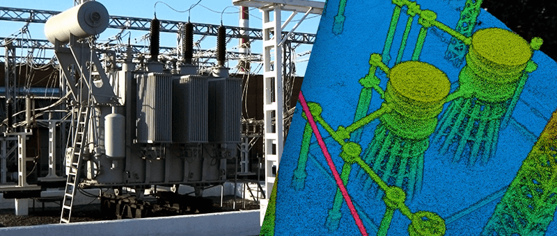
Our Technology
Our drones are equipped with high-definition cameras, LiDAR sensors, and GPS mapping technology. These tools capture detailed aerial imagery and precise geospatial data, allowing for in-depth property analysis.
We can detect early structural defects, assess roof conditions, monitor building exteriors, and provide thermal imaging for energy efficiency. With real-time data processing, property managers receive actionable insights faster than ever.
Services for Property Surveys
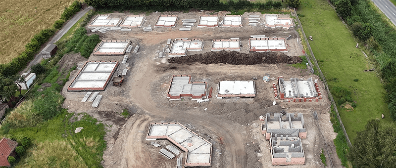
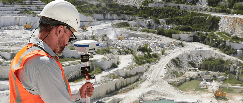
Site Monitoring
Enabling efficient project management through precise tracking of construction progress and site conditions over time.
At Matrix Advanced Surveying, we combine years of industry experience with cutting-edge drone technology to provide property managers with reliable and efficient survey solutions. Our services offer comprehensive insights, reduce operational costs, and improve safety.
We are committed to delivering results that help property managers maintain, develop, and protect their assets with precision and professionalism. Trust us to provide accurate and timely data, every time.
We invite you to discover the difference that Matrix Advanced Surveying can make for your project. Contact us today to learn more about our services and how we can help you navigate the complexities of modern surveying with confidence and expertise.