Transforming Complex Data into Actionable Insights with Advanced 3D Modelling.
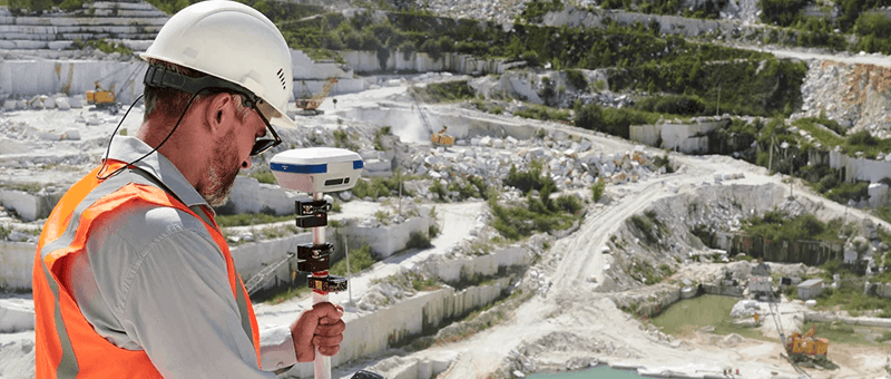
Precision in Point Cloud Surveying
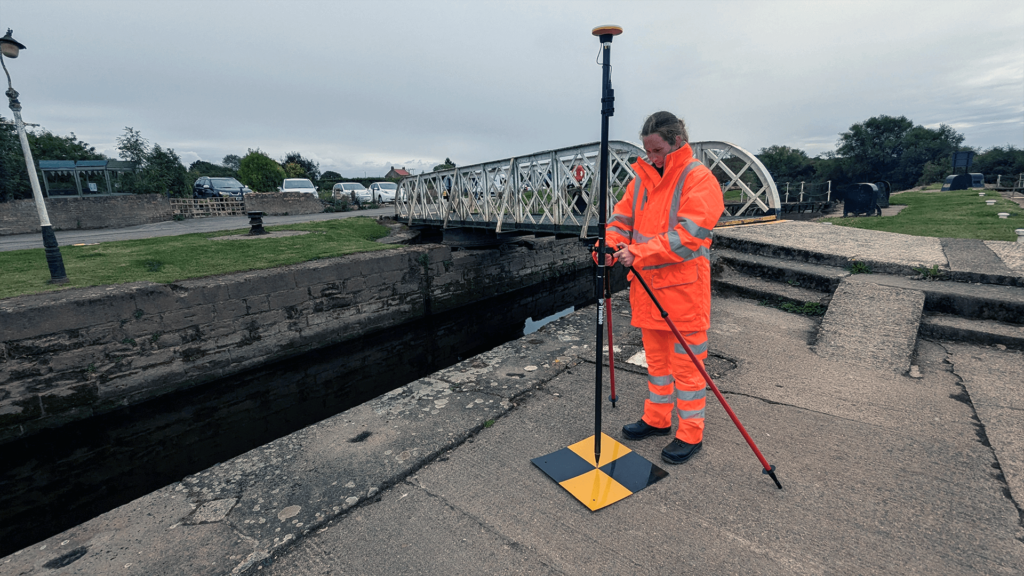
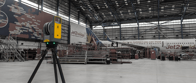
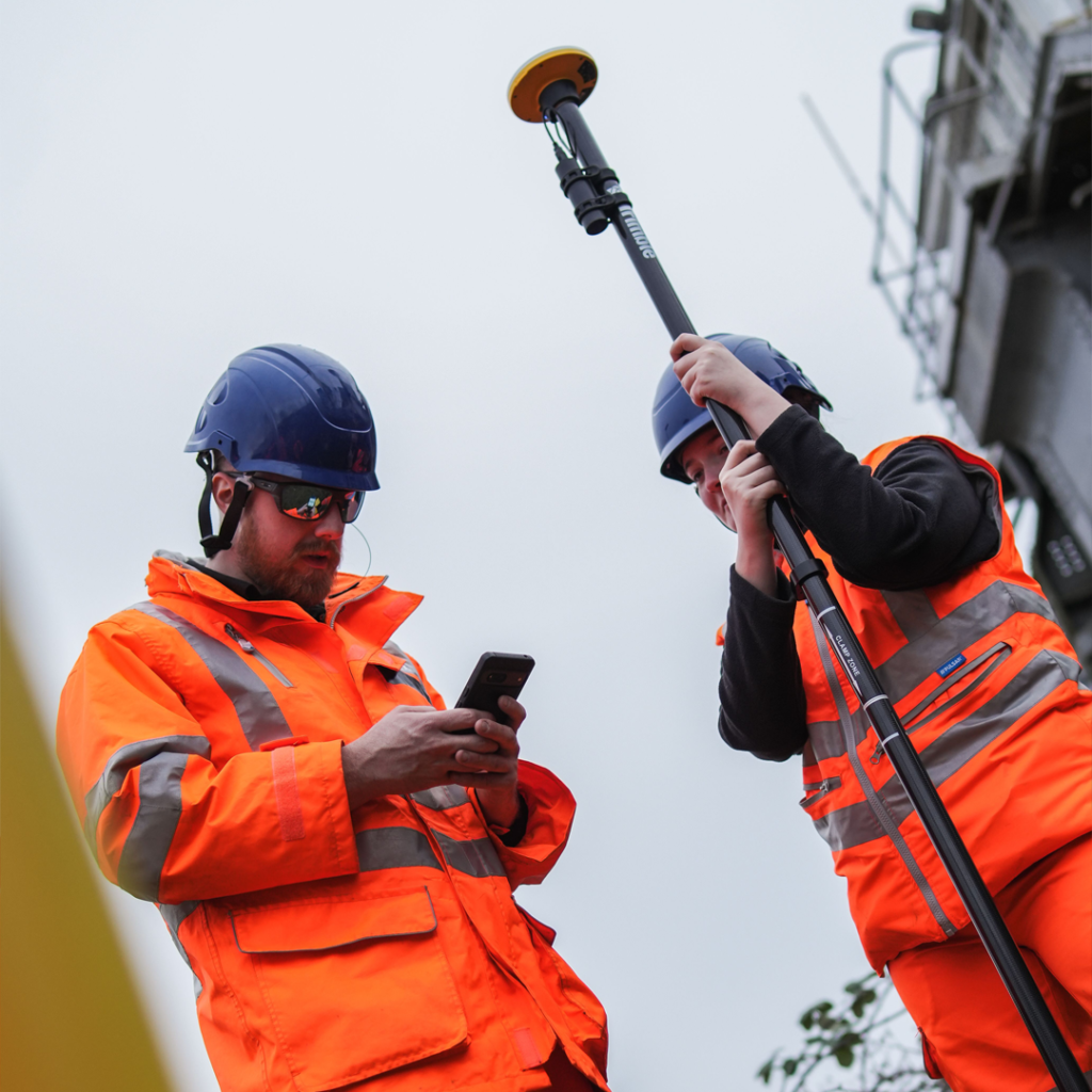
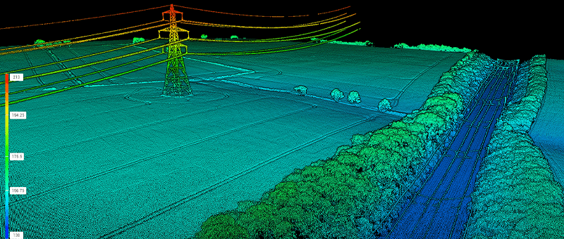
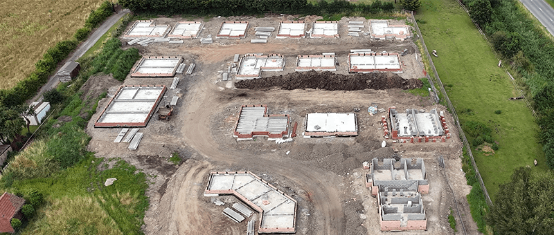
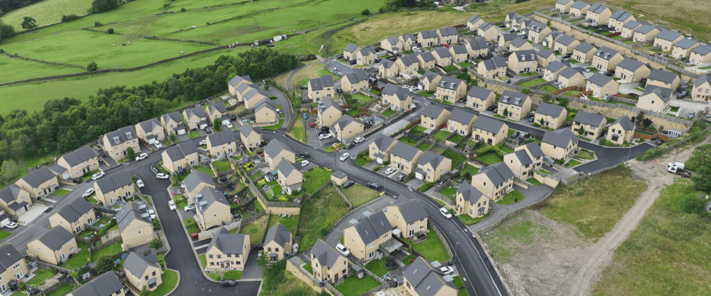
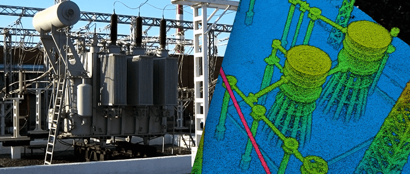
At Matrix Advanced Surveying, we specialise in delivering precise and detailed Point Cloud Surveys to support a variety of industries. Using cutting-edge laser scanning technology, we capture millions of data points to create accurate 3D models of your project site. These models provide a comprehensive visualisation, enabling better decision-making, improved design accuracy, and streamlined workflows.
Whether you’re planning new construction, managing renovations, or preserving heritage sites, our Point Cloud Surveys provide the reliable data you need for success.
We employ state-of-the-art LiDAR scanners that emit laser pulses to measure distances, capturing millions of data points to create comprehensive point clouds. This technology enables us to generate precise 3D models and topographical maps, offering a detailed and accurate representation of the surveyed area.
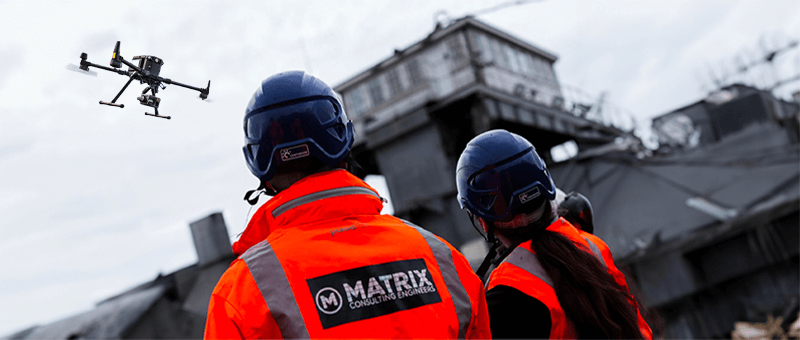
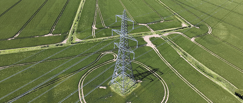
Why Choose Us for Energy & Power Drone Surveys?
State-of-the-Art Technology: We use the latest laser scanning equipment and software to ensure accurate and reliable results for every project.
Tailored Solutions: We customise our surveys to meet the specific needs of your project, whether you require detailed 3D models, topographical data, or structural insights.
Experienced Team: Our skilled surveyors have years of experience in delivering Point Cloud Surveys across various sectors, ensuring quality and consistency in every project.
End-to-End Support: From initial data capture to final deliverables, we guide you through the entire process. Our team ensures you fully understand the results and can use them effectively in your project.
Transform your approach to surveying and project management with Matrix Consulting Engineers. Our drone photogrammetry and LiDAR services bring accuracy, efficiency, and safety to your projects, allowing you to achieve superior results. Contact us today to learn how our advanced aerial surveying solutions can benefit your next project. With Matrix Consulting Engineers, the sky is not the limit—it’s your advantage.
READY TO START
YOUR NEW PROJECT?
We invite you to discover the difference that Matrix Advanced Surveying can make for your project. Contact us today to learn more about our services and how we can help you navigate the complexities of modern surveying with confidence and expertise.