


Our Services
Your Partner in Precision: A Full Spectrum of Surveying Services
Comprehensive Surveying Services
Explore Matrix Advanced Surveying’s extensive range of surveying services, designed to meet the diverse needs of industries, from urban development to heritage conservation. Leveraging cutting-edge technology and unparalleled expertise, we provide solutions that pave the way for informed decision-making and project success.
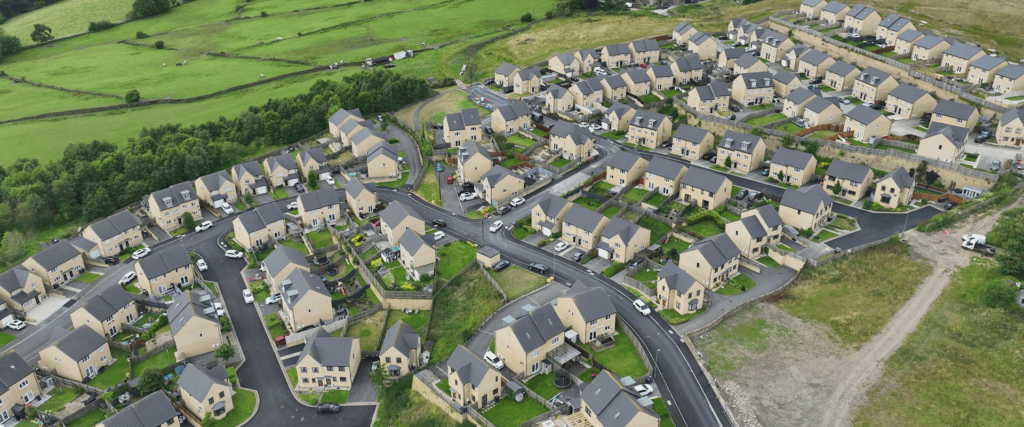
Topographical Survey
Creating accurate maps and 3D models of land features to support planning, engineering, and design projects.
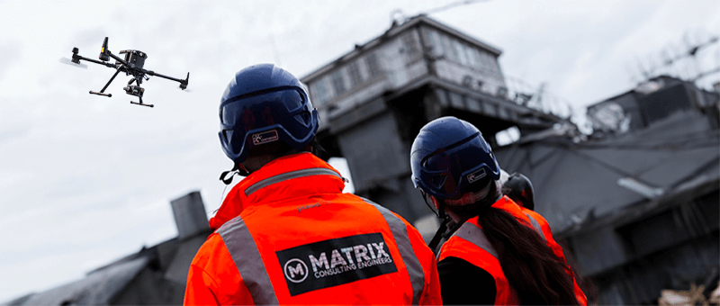
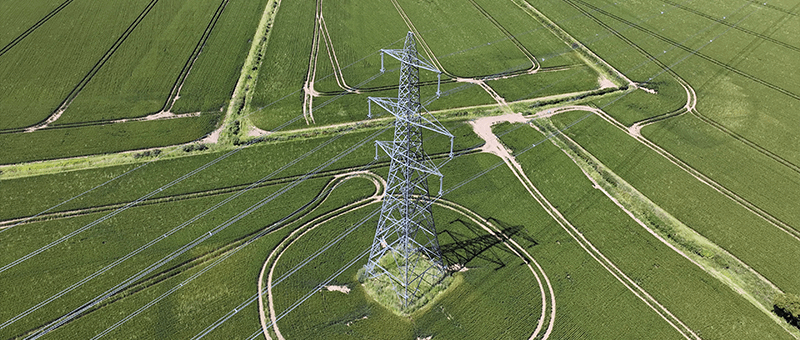
Drone Surveying
Providing high-precision aerial surveys using advanced drone technology to deliver detailed imagery and data for a wide range of projects.
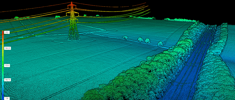
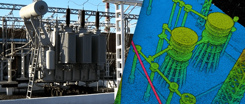
Point Cloud Survey
Capturing precise 3D spatial data through advanced scanning techniques to create detailed point cloud models for analysis and design.
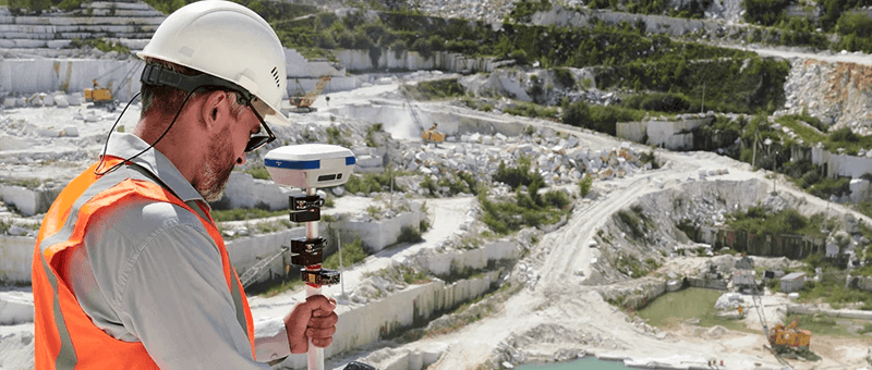
Land Survey
Offering detailed land measurement and boundary mapping services to support planning, development, and legal requirements.
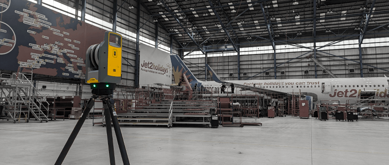
Structural Inspection
Conducting comprehensive inspections to assess the condition and integrity of structures using cutting-edge survey technology.
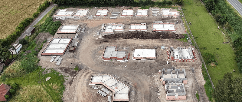
Site Monitoring
Enabling efficient project management through precise tracking of construction progress and site conditions over time.
Environmental Monitoring
Accurate, real-time monitoring solutions to assess environmental conditions and ensure compliance with regulatory standards.
Agricultural Analysis
Delivering data-driven insights to optimise crop health, soil quality, and overall farm productivity using advanced surveying techniques.
Emergency Response Surveying
Providing rapid and reliable aerial surveys to support emergency operations and disaster management with critical situational awareness data.